STS060-84-76

| NASA Photo ID | STS060-84-76 |
| Focal Length | 250mm |
| Date taken | 1994.02.__ |
| Time taken | GMT |
Resolutions offered for this image:
4043 x 4043 pixels 640 x 640 pixels 5700 x 5900 pixels 500 x 518 pixels 640 x 480 pixels
4043 x 4043 pixels 640 x 640 pixels 5700 x 5900 pixels 500 x 518 pixels 640 x 480 pixels
Cloud masks available for this image:
Spacecraft nadir point:
Photo center point: 10.0° N, 65.0° W
Photo center point by machine learning:
Photo center point: 10.0° N, 65.0° W
Photo center point by machine learning:
Nadir to Photo Center:
Spacecraft Altitude: nautical miles (0km)
Country or Geographic Name: | VENEZUELA |
Features: | COAST, PUERO LA CRUZ AREA |
| Features Found Using Machine Learning: | |
Cloud Cover Percentage: | 20 (11-25)% |
Sun Elevation Angle: | ° |
Sun Azimuth: | ° |
Camera: | Hasselblad |
Focal Length: | 250mm |
Camera Tilt: | Low Oblique |
Format: | 5046: Kodak, natural color positive, Lumiere 100/5046, ASA 100, standard base |
Film Exposure: | Normal |
| Additional Information | |
| Width | Height | Annotated | Cropped | Purpose | Links |
|---|---|---|---|---|---|
| 4043 pixels | 4043 pixels | No | No | Earth From Space collection | Download Image |
| 640 pixels | 640 pixels | No | No | Earth From Space collection | Download Image |
| 5700 pixels | 5900 pixels | No | No | Download Image | |
| 500 pixels | 518 pixels | No | No | Download Image | |
| 640 pixels | 480 pixels | No | No | Download Image |
Download Packaged File
Download a Google Earth KML for this Image
View photo footprint information
Download a GeoTIFF for this photo
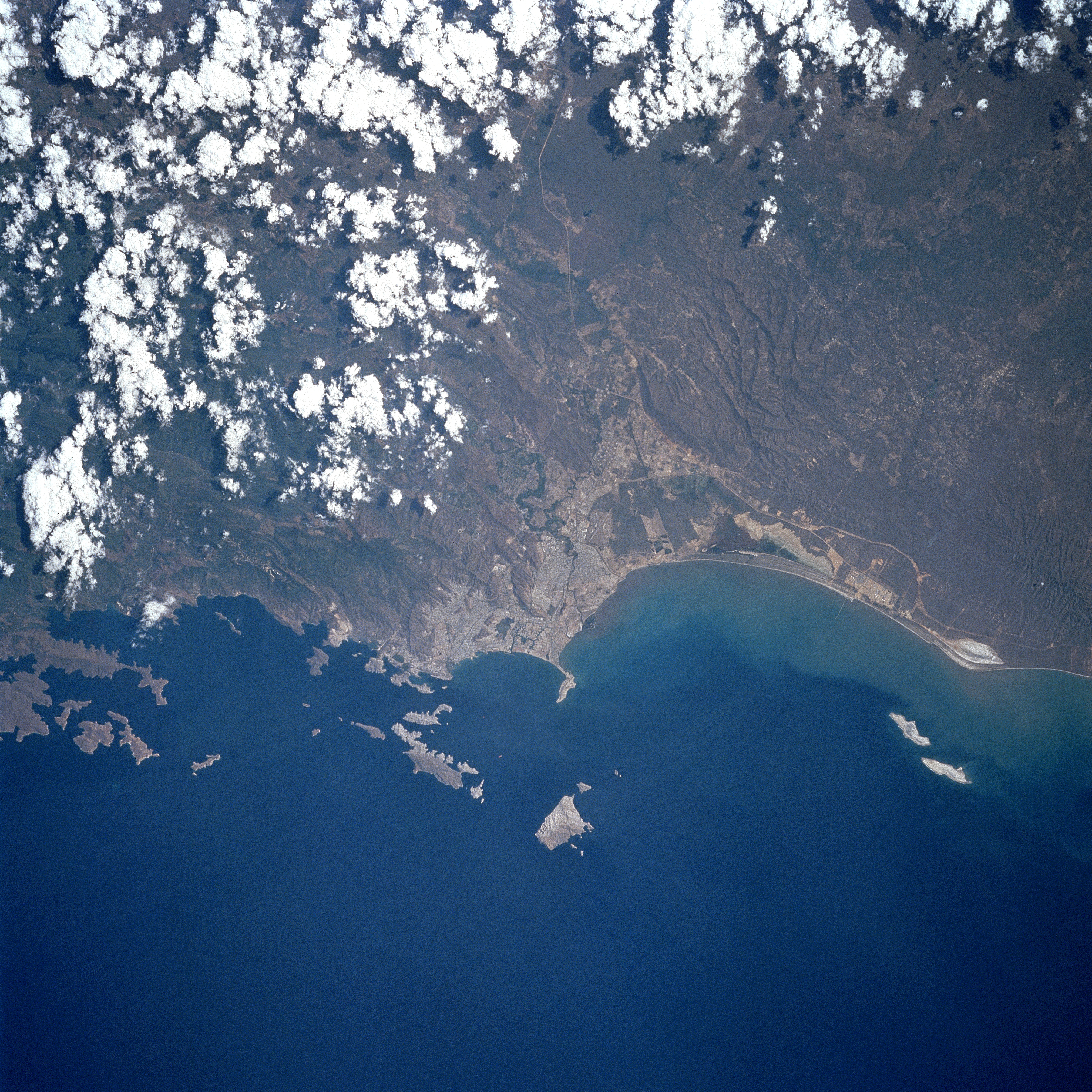
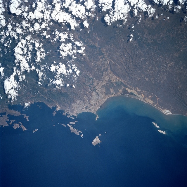
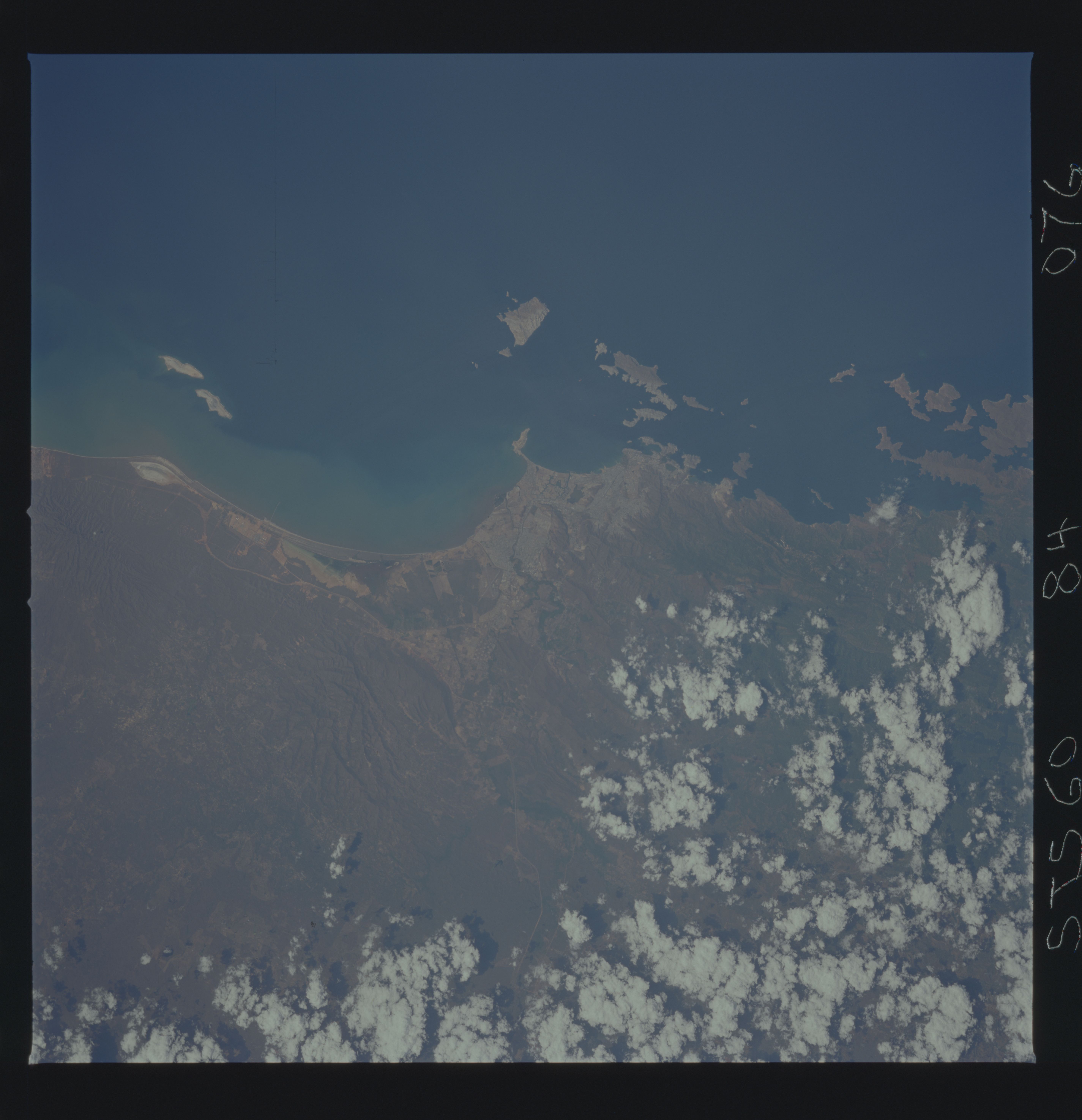
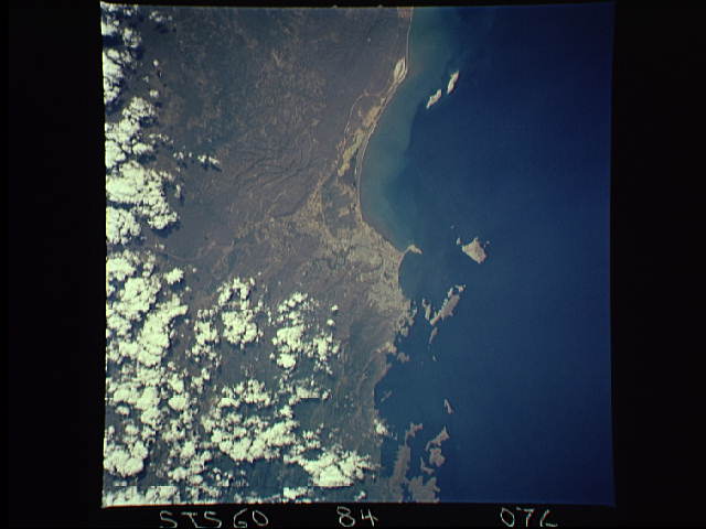
Image Caption: STS060-084-076 Mochima National Park, Venezuela February 1994
Mochima National Park is both a marine and land based park in Anzoategui State. The offshore islands in this photograph are part of the park. The Caribbean coast of Venezuela in this region is scrub thornbrush. The Turimquire Mountains come right down to the sea and form high cliffs. The Island in the center of the photograph is over 1300 feet high. Puerto La Cruz has a population of over 800,000 and is located on the bay in the center of the view. Barcelona, the capital of Anzoategui State is to the right of Puerto La Cruz. The road that bisects the photograph leads inland to the Orinoco basin on the far side of the mountains.
Mochima National Park is both a marine and land based park in Anzoategui State. The offshore islands in this photograph are part of the park. The Caribbean coast of Venezuela in this region is scrub thornbrush. The Turimquire Mountains come right down to the sea and form high cliffs. The Island in the center of the photograph is over 1300 feet high. Puerto La Cruz has a population of over 800,000 and is located on the bay in the center of the view. Barcelona, the capital of Anzoategui State is to the right of Puerto La Cruz. The road that bisects the photograph leads inland to the Orinoco basin on the far side of the mountains.
