STS060-83-41

| NASA Photo ID | STS060-83-41 |
| Focal Length | 250mm |
| Date taken | 1994.02.10 |
| Time taken | 20:12:34 GMT |
Cloud masks available for this image:
Spacecraft nadir point: 26.7° N, 99.7° W
Photo center point: 25.5° N, 100.5° W
Photo center point by machine learning:
Photo center point: 25.5° N, 100.5° W
Photo center point by machine learning:
Nadir to Photo Center: Southwest
Spacecraft Altitude: 192 nautical miles (356km)
Camera: | Hasselblad |
Focal Length: | 250mm |
Camera Tilt: | 24 degrees |
Format: | 5046: Kodak, natural color positive, Lumiere 100/5046, ASA 100, standard base |
Film Exposure: | Normal |
| Additional Information | |
| Width | Height | Annotated | Cropped | Purpose | Links |
|---|---|---|---|---|---|
| 5700 pixels | 5900 pixels | No | No | Download Image | |
| 500 pixels | 518 pixels | No | No | Download Image | |
| 640 pixels | 480 pixels | No | No | Download Image |
Download Packaged File
Download a Google Earth KML for this Image
View photo footprint information
Download a GeoTIFF for this photo
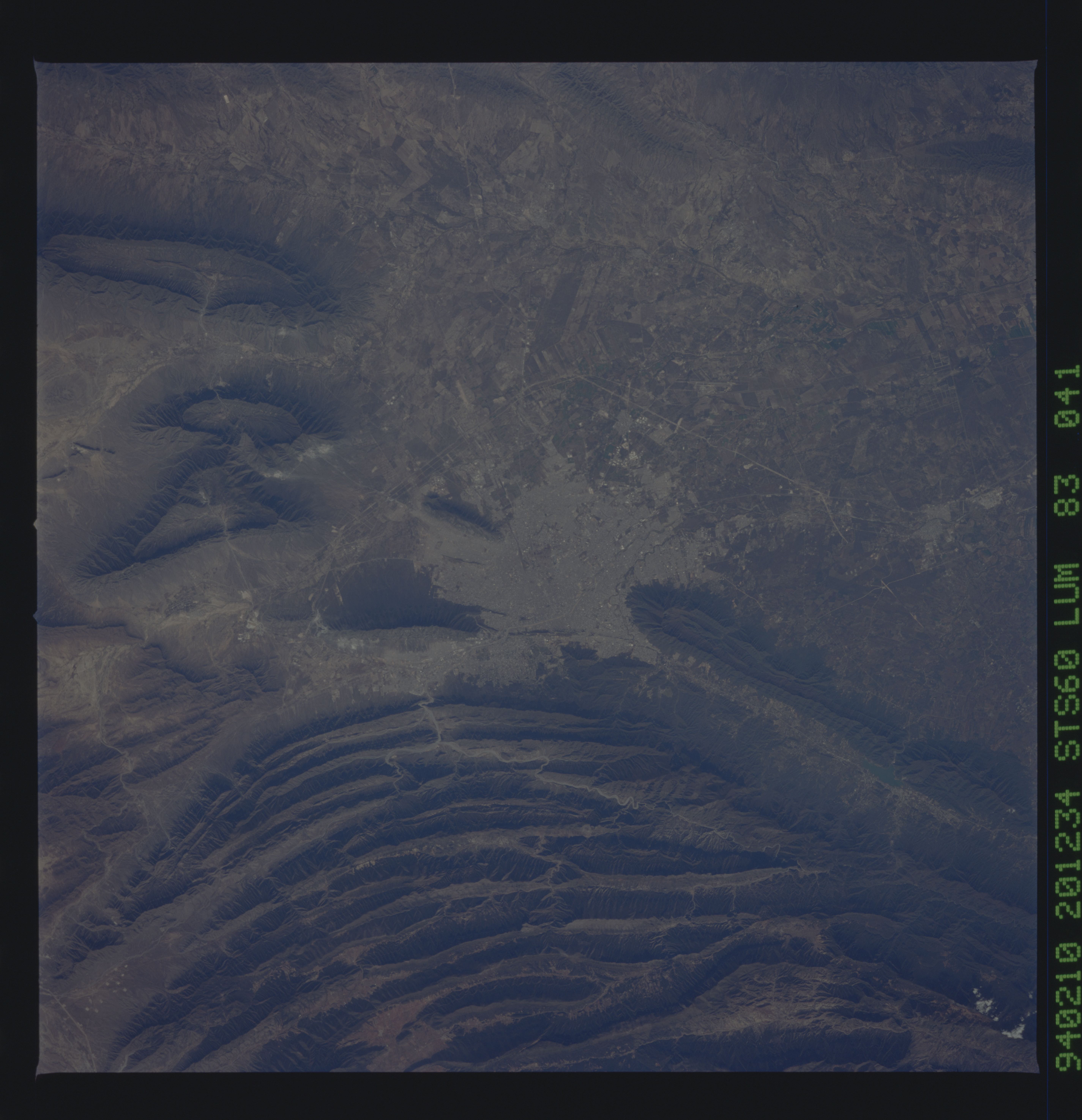
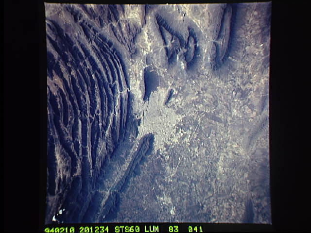
Image Caption: The large city of Monterrey, in northeastern Mexico, was founded at the edge between the Sierra Madre Oriental and the Rio Grande Embayment portion of the Gulf Coastal Plain. Around and north of the city, more open folds of limestone and shale beds gradually give way to nearly flat-lying beds of coastal plain.
