STS060-103-89

| NASA Photo ID | STS060-103-89 |
| Focal Length | 100mm |
| Date taken | 1994.02.04 |
| Time taken | 20:41:24 GMT |
Resolutions offered for this image:
3904 x 3840 pixels 639 x 629 pixels 5700 x 5900 pixels 500 x 518 pixels 640 x 480 pixels
3904 x 3840 pixels 639 x 629 pixels 5700 x 5900 pixels 500 x 518 pixels 640 x 480 pixels
Cloud masks available for this image:
Spacecraft nadir point: 40.5° N, 88.6° W
Photo center point: 41.5° N, 87.5° W
Photo center point by machine learning:
Photo center point: 41.5° N, 87.5° W
Photo center point by machine learning:
Nadir to Photo Center: Northeast
Spacecraft Altitude: 190 nautical miles (352km)
Country or Geographic Name: | USA-ILLINOIS |
Features: | L. MICHIGAN, CHICAGO AREA |
| Features Found Using Machine Learning: | |
Cloud Cover Percentage: | 0 (no clouds present) |
Sun Elevation Angle: | 23° |
Sun Azimuth: | 220° |
Camera: | Hasselblad |
Focal Length: | 100mm |
Camera Tilt: | 25 degrees |
Format: | 5017: Kodak, natural color positive, Ektachrome, X Professional, ASA 64, standard base |
Film Exposure: | Normal |
| Additional Information | |
| Width | Height | Annotated | Cropped | Purpose | Links |
|---|---|---|---|---|---|
| 3904 pixels | 3840 pixels | No | No | Earth From Space collection | Download Image |
| 639 pixels | 629 pixels | No | No | Earth From Space collection | Download Image |
| 5700 pixels | 5900 pixels | No | No | Download Image | |
| 500 pixels | 518 pixels | No | No | Download Image | |
| 640 pixels | 480 pixels | No | No | Download Image |
Download Packaged File
Download a Google Earth KML for this Image
View photo footprint information
Download a GeoTIFF for this photo
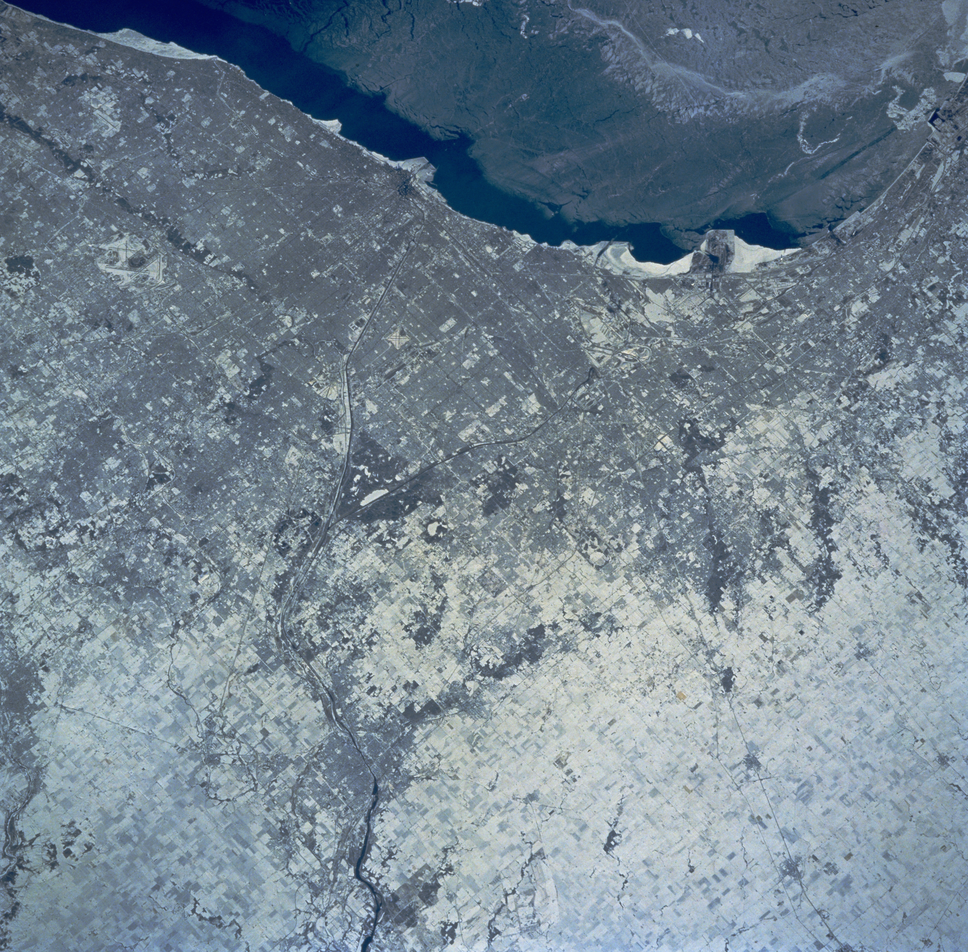
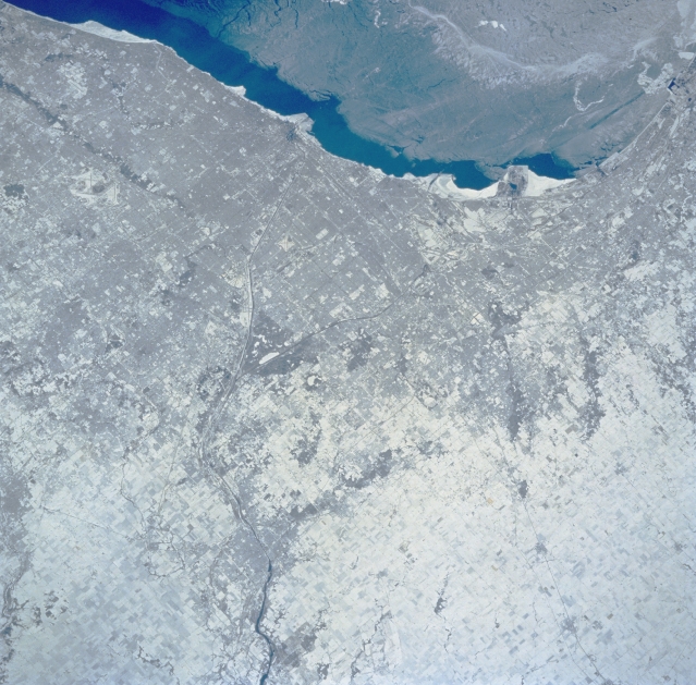
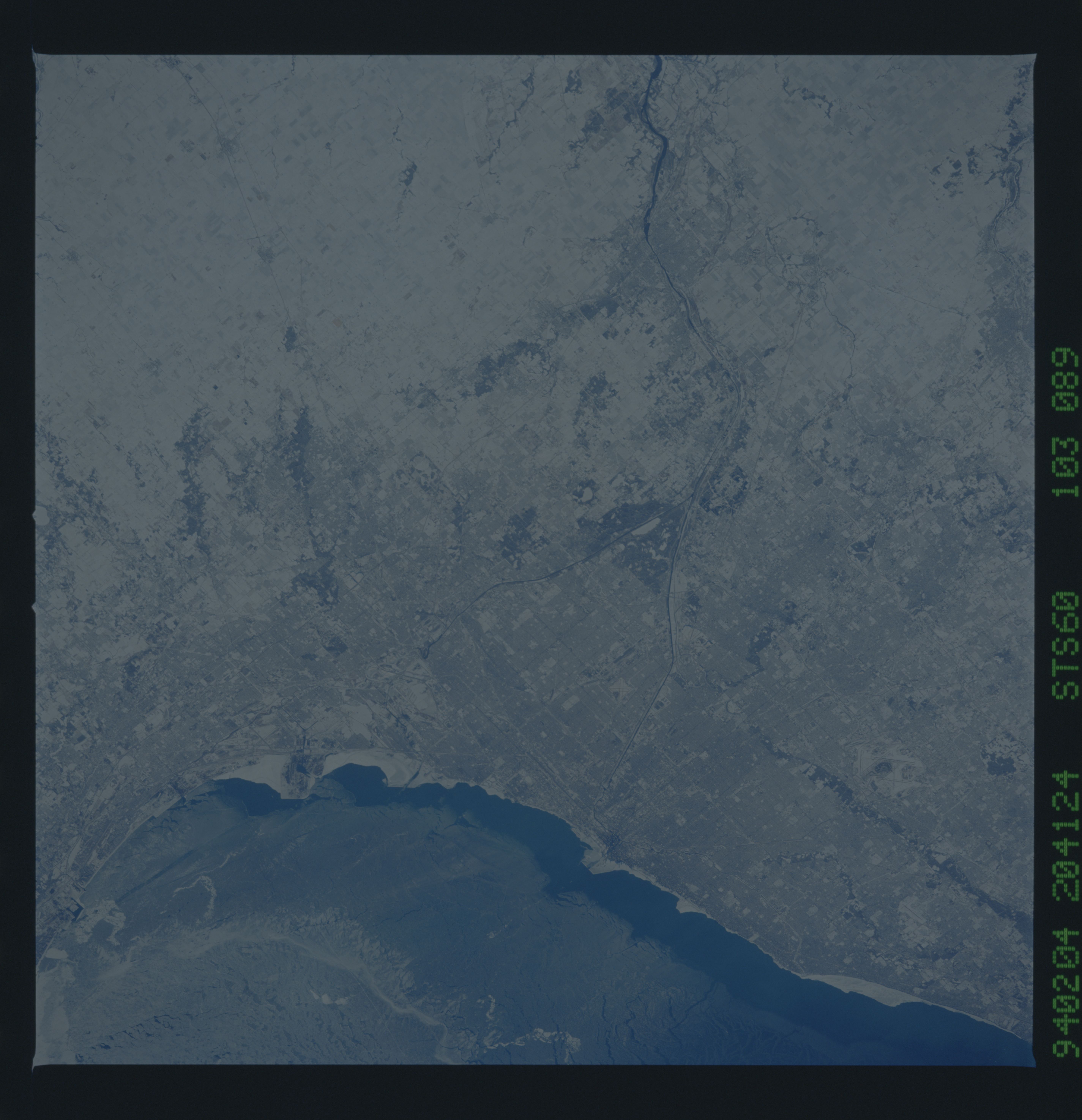
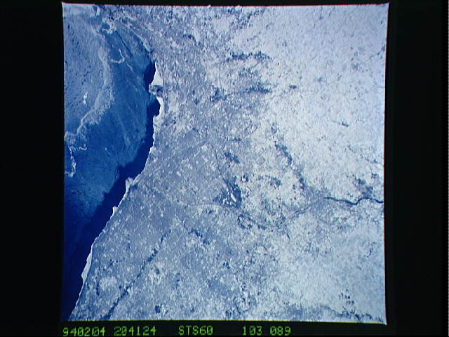
Image Caption: STS060-103-089 Chicago, Illinois, U.S.A. February 1994
Snow cover in metropolitan Chicago, ice floes on parts of Lake Michigan, and ice along the lakeshore appear in this northeast-looking, low-oblique photograph. The Des Plains River flows southerly through Joliet, becomes the Illinois River south of Joliet, and eventually flows south-southwest into the Mississippi River. Discernible is the Fox River that flows northeastward through Aurora (bottom left).
The Chicago, Illinois area is in this northeast looking low oblique view obtained during STS-60. A good portion of Lake Michigan is covered with ice due to the very cold winter weather. The Des Plaines river is visible traversing northeast to southwest throught the center of the city. O'Hare International Airport and the Glenview Naval Air Station can be seen to the north of the Des Plaines River. Midway Airport is visible just to the south of the river.
