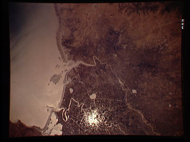
STS059-L16-AN
| NASA Photo ID | STS059-L16-AN |
| Focal Length | 250mm |
| Date taken | 1994.04.14 |
| Time taken | 04:03:28 GMT |
Cloud masks available for this image:
Spacecraft nadir point: 42.3° N, 122.3° E
Photo center point: 41.0° N, 122.0° E
Photo center point by machine learning:
Photo center point: 41.0° N, 122.0° E
Photo center point by machine learning:
Nadir to Photo Center: South
Spacecraft Altitude: 116 nautical miles (215km)
Camera: | Linhof |
Focal Length: | 250mm |
Camera Tilt: | 35 degrees |
Format: | 5046: Kodak, natural color positive, Lumiere 100/5046, ASA 100, standard base |
Film Exposure: | Normal |
| Additional Information | |
| Width | Height | Annotated | Cropped | Purpose | Links |
|---|---|---|---|---|---|
| 640 pixels | 480 pixels | No | No | ISD 1 | Download Image |
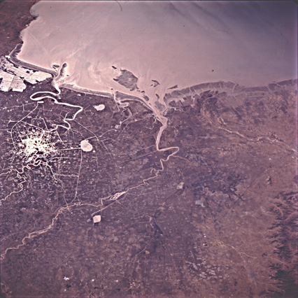
| 426 pixels | 426 pixels | Download Image |
Download Packaged File
Download a Google Earth KML for this Image
View photo footprint information
Download a GeoTIFF for this photo
Image Caption: none
