STS059-L15-143
| NASA Photo ID | STS059-L15-143 |
| Focal Length | 90mm |
| Date taken | 1994.04.16 |
| Time taken | 07:54:24 GMT |

Cloud masks available for this image:
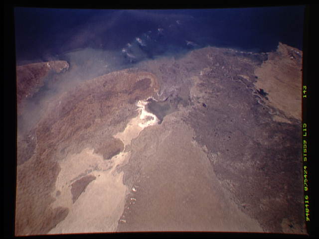
Spacecraft nadir point: 24.9° N, 70.4° E
Photo center point: 24.0° N, 69.0° E
Photo center point by machine learning:
Photo center point: 24.0° N, 69.0° E
Photo center point by machine learning:
Nadir to Photo Center: Southwest
Spacecraft Altitude: 115 nautical miles (213km)
Country or Geographic Name: | INDIA |
Features: | RANN OF KUTCH, INDUS RIV. |
| Features Found Using Machine Learning: | |
Cloud Cover Percentage: | 5 (1-10)% |
Sun Elevation Angle: | 73° |
Sun Azimuth: | 212° |
Camera: | Linhof |
Focal Length: | 90mm |
Camera Tilt: | 41 degrees |
Format: | 5046: Kodak, natural color positive, Lumiere 100/5046, ASA 100, standard base |
Film Exposure: | Normal |
| Additional Information | |
| Width | Height | Annotated | Cropped | Purpose | Links |
|---|---|---|---|---|---|
| 640 pixels | 480 pixels | No | No | ISD 1 | Download Image |
| 2240 pixels | 2816 pixels | No | No | Download Image |
Download Packaged File
Download a Google Earth KML for this Image
View photo footprint information
Download a GeoTIFF for this photo
Image Caption: none
