STS059-L13-137
| NASA Photo ID | STS059-L13-137 |
| Focal Length | 250mm |
| Date taken | 1994.04.18 |
| Time taken | 17:24:51 GMT |
Cloud masks available for this image:
Spacecraft nadir point: 46.7° N, 112.0° W
Photo center point: 46.5° N, 111.5° W
Photo center point by machine learning:
Photo center point: 46.5° N, 111.5° W
Photo center point by machine learning:
Nadir to Photo Center: East
Spacecraft Altitude: 112 nautical miles (207km)
Country or Geographic Name: | USA-MONTANA |
Features: | CANYON FERRY L, MISSOUI R |
| Features Found Using Machine Learning: | |
Cloud Cover Percentage: | 5 (1-10)% |
Sun Elevation Angle: | 46° |
Sun Azimuth: | 134° |
Camera: | Linhof |
Focal Length: | 250mm |
Camera Tilt: | 16 degrees |
Format: | 5048: Kodak, natural color positive, Lumiere 100x/5048, ASA 100x, standard base |
Film Exposure: | Normal |
| Additional Information | |
| Width | Height | Annotated | Cropped | Purpose | Links |
|---|---|---|---|---|---|
| 5056 pixels | 3968 pixels | No | No | Earth From Space collection | Download Image |
| 640 pixels | 502 pixels | No | No | Earth From Space collection | Download Image |
| 640 pixels | 480 pixels | No | No | ISD 1 | Download Image |
Download Packaged File
Download a Google Earth KML for this Image
View photo footprint information
Download a GeoTIFF for this photo
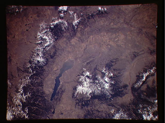
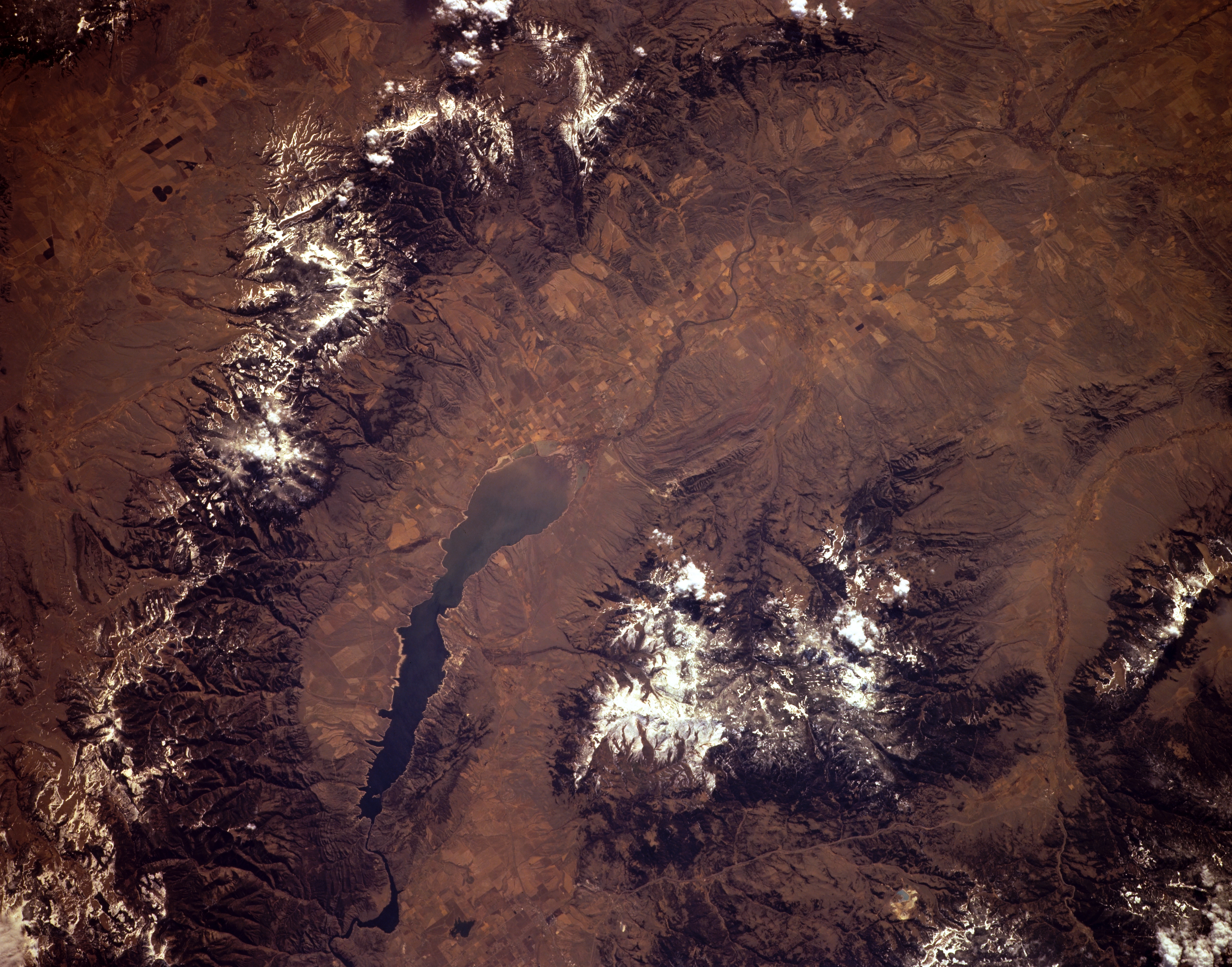
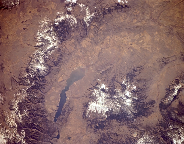
Image Caption: STS059-L13-137 Canyon Ferry Lake, Elkhorn Mountains, and Big Belt Mountains, Montana, U.S.A. April 1994
Canyon Ferry Lake on the Missouri River is prominent in this southeast-looking, low-oblique photograph. The Missouri River meanders generally northward from Three Forks (not discernible) where it begins its journey toward St. Louis, Missouri, and enters Canyon Ferry Lake (center of the photograph). West of the lake are the Elkhorn Mountains, a much faulted and tightly folded complex range, and to the east are the northwest-southeast-trending Big Belt Mountains, composed mainly of Precambrian sedimentary rocks. Not discernible in this photograph are Helena, west of Canyon Ferry Lake at the northern base of the Elkhorn Mountains, and Butte, near the southwestern base of the Elkhorn Mountains.
Canyon Ferry Lake on the Missouri River is prominent in this southeast-looking, low-oblique photograph. The Missouri River meanders generally northward from Three Forks (not discernible) where it begins its journey toward St. Louis, Missouri, and enters Canyon Ferry Lake (center of the photograph). West of the lake are the Elkhorn Mountains, a much faulted and tightly folded complex range, and to the east are the northwest-southeast-trending Big Belt Mountains, composed mainly of Precambrian sedimentary rocks. Not discernible in this photograph are Helena, west of Canyon Ferry Lake at the northern base of the Elkhorn Mountains, and Butte, near the southwestern base of the Elkhorn Mountains.
