STS059-89-36
| NASA Photo ID | STS059-89-36 |
| Focal Length | 250mm |
| Date taken | 1994.04.10 |
| Time taken | 20:07:10 GMT |
Resolutions offered for this image:
3904 x 3904 pixels 639 x 639 pixels 5700 x 5900 pixels 500 x 518 pixels 640 x 480 pixels
3904 x 3904 pixels 639 x 639 pixels 5700 x 5900 pixels 500 x 518 pixels 640 x 480 pixels
Cloud masks available for this image:
Spacecraft nadir point: 43.6° N, 101.3° W
Photo center point: 43.5° N, 99.5° W
Photo center point by machine learning:
Photo center point: 43.5° N, 99.5° W
Photo center point by machine learning:
Nadir to Photo Center: East
Spacecraft Altitude: 119 nautical miles (220km)
Country or Geographic Name: | USA-SOUTH DAKOTA |
Features: | MISSOURI RIVER |
| Features Found Using Machine Learning: | |
Cloud Cover Percentage: | 0 (no clouds present) |
Sun Elevation Angle: | 51° |
Sun Azimuth: | 213° |
Camera: | Hasselblad |
Focal Length: | 250mm |
Camera Tilt: | 42 degrees |
Format: | 5046: Kodak, natural color positive, Lumiere 100/5046, ASA 100, standard base |
Film Exposure: | Normal |
| Additional Information | |
| Width | Height | Annotated | Cropped | Purpose | Links |
|---|---|---|---|---|---|
| 3904 pixels | 3904 pixels | No | No | Earth From Space collection | Download Image |
| 639 pixels | 639 pixels | No | No | Earth From Space collection | Download Image |
| 5700 pixels | 5900 pixels | No | No | Download Image | |
| 500 pixels | 518 pixels | No | No | Download Image | |
| 640 pixels | 480 pixels | No | No | Download Image |
Download Packaged File
Download a Google Earth KML for this Image
View photo footprint information
Download a GeoTIFF for this photo
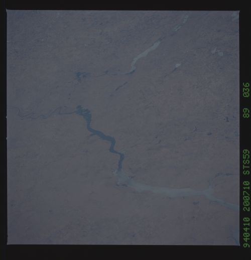
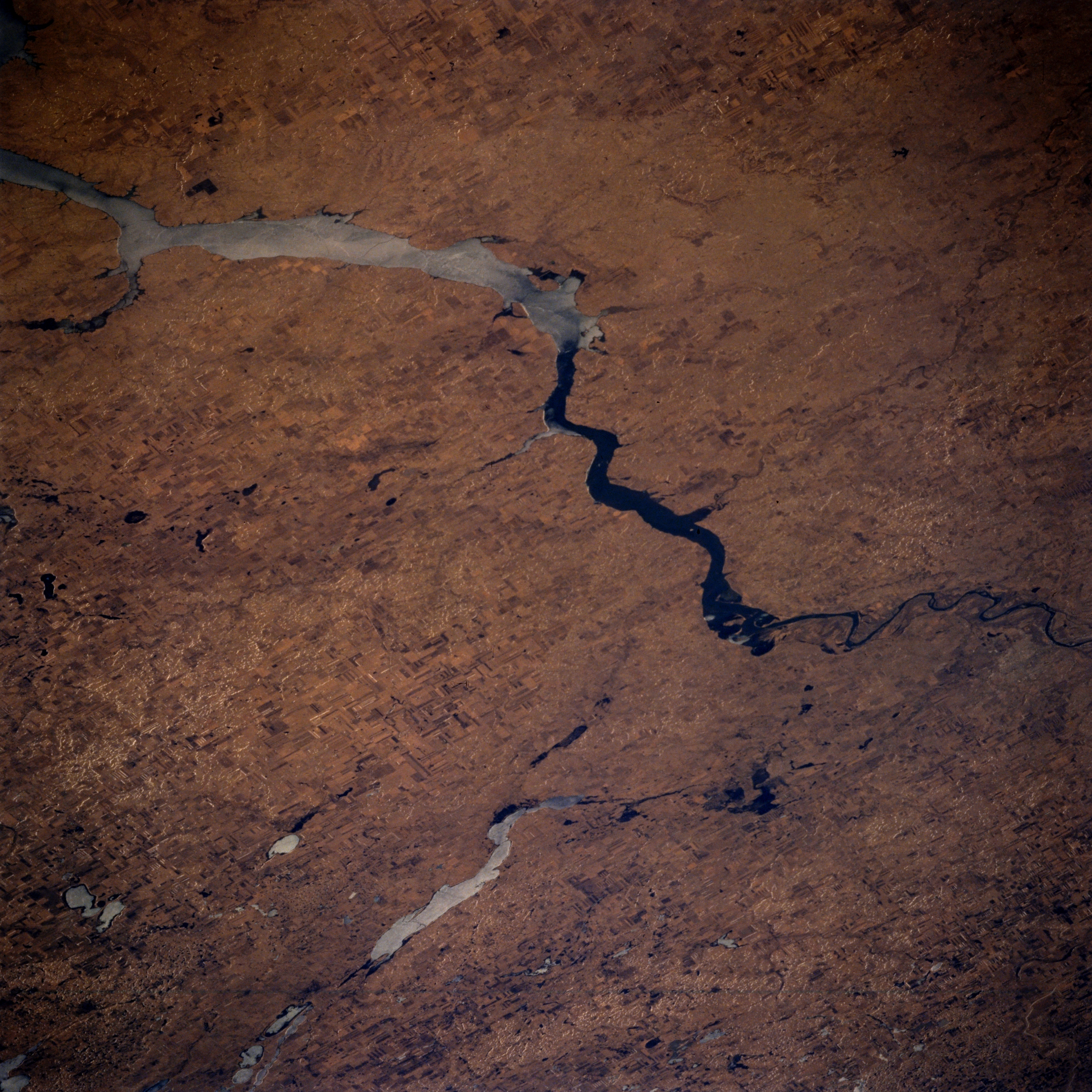
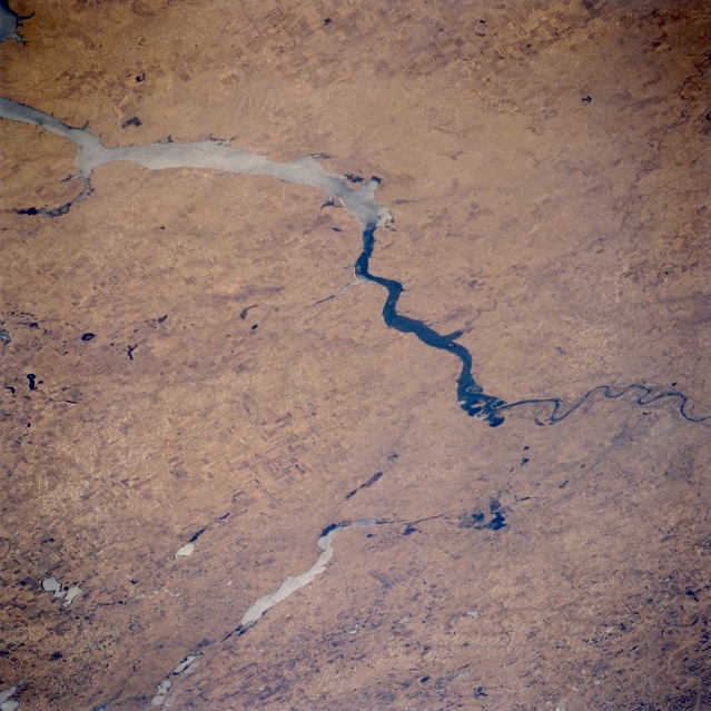
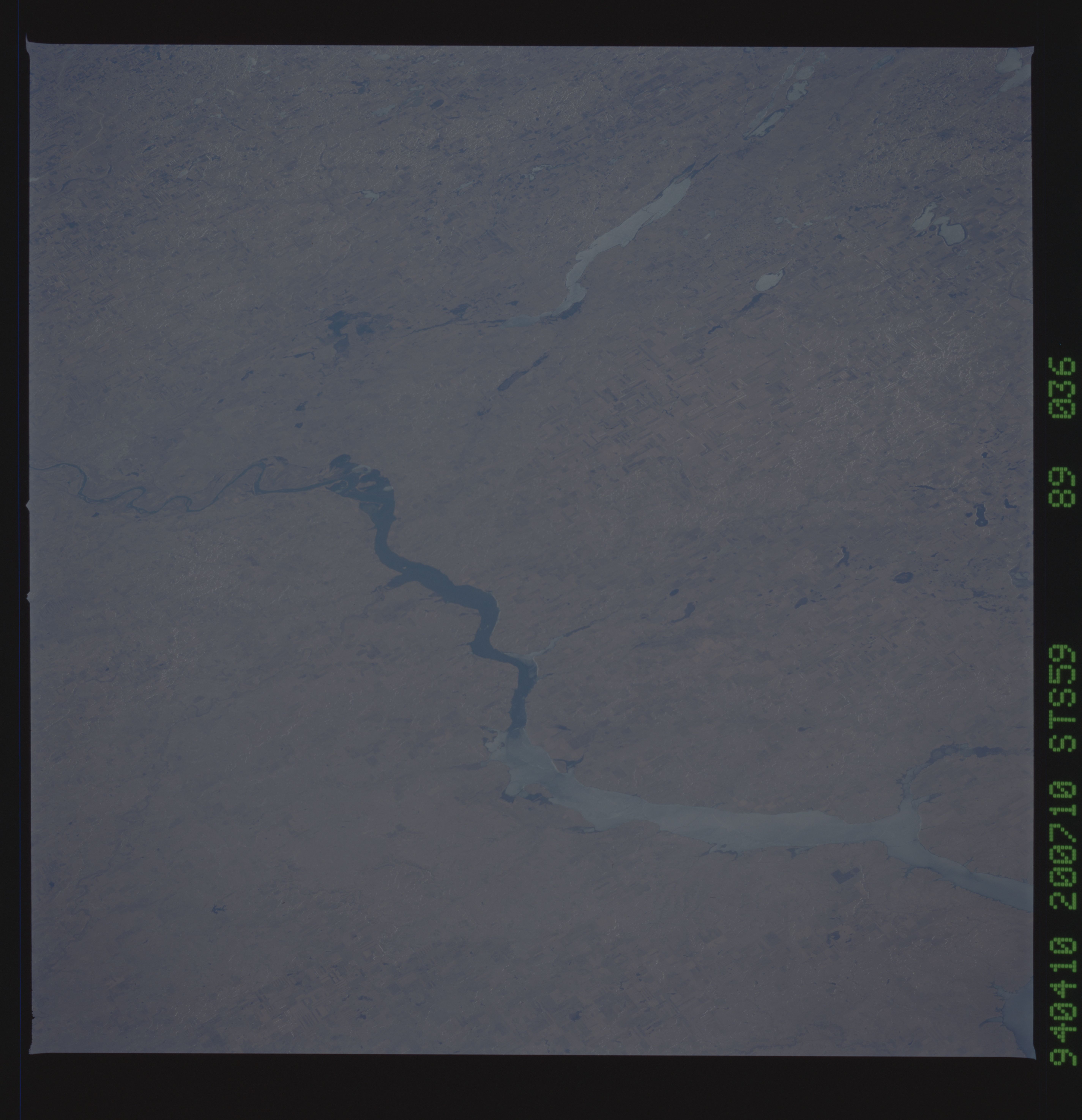
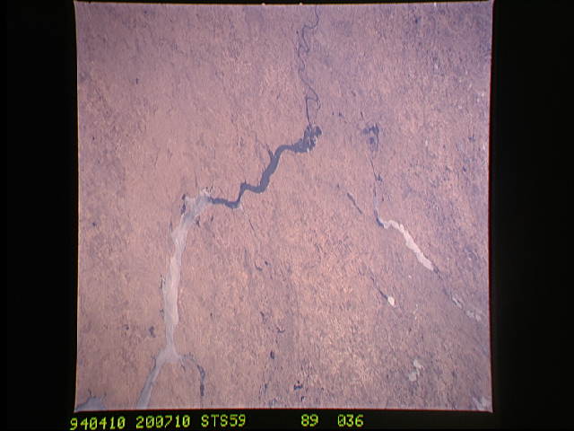
Image Caption: STS059-089-036 Lake Oahe, Long Lake, and Bismarck, North Dakota, U.S.A. April 1994
Visible in this southwest-looking, low-oblique photograph is the northern end of Lake Oahe [250 miles (403 kilometers) long], which ends approximately 6 miles (10 kilometers) from Bismarck, the capital of North Dakota (barely discernible at right center). Bismarck, located on rolling hills overlooking the Missouri River, is a trade and distributing point for spring wheat, livestock, and dairy products. Food items, farm machinery, and wood and concrete products are also manufactured. Bismarck is the center for development of the rich oil reserves of the Williston Basin. Hook-shaped, ice-covered Long Lake and Long Lake National Wildlife Refuge are visible (bottom center). Much of Lake Oahe is also ice covered.
Visible in this southwest-looking, low-oblique photograph is the northern end of Lake Oahe [250 miles (403 kilometers) long], which ends approximately 6 miles (10 kilometers) from Bismarck, the capital of North Dakota (barely discernible at right center). Bismarck, located on rolling hills overlooking the Missouri River, is a trade and distributing point for spring wheat, livestock, and dairy products. Food items, farm machinery, and wood and concrete products are also manufactured. Bismarck is the center for development of the rich oil reserves of the Williston Basin. Hook-shaped, ice-covered Long Lake and Long Lake National Wildlife Refuge are visible (bottom center). Much of Lake Oahe is also ice covered.
