STS059-81-49
| NASA Photo ID | STS059-81-49 |
| Focal Length | 40mm |
| Date taken | 1994.04.12 |
| Time taken | 10:37:44 GMT |
Cloud masks available for this image:
Spacecraft nadir point: 41.7° N, 34.6° E
Photo center point: 40.0° N, 37.0° E
Photo center point by machine learning:
Photo center point: 40.0° N, 37.0° E
Photo center point by machine learning:
Nadir to Photo Center: Southeast
Spacecraft Altitude: 119 nautical miles (220km)
Country or Geographic Name: | TURKEY |
Features: | PAN-PONTIC MOUNTAINS |
| Features Found Using Machine Learning: | |
Cloud Cover Percentage: | 25 (11-25)% |
Sun Elevation Angle: | 55° |
Sun Azimuth: | 204° |
Camera: | Hasselblad |
Focal Length: | 40mm |
Camera Tilt: | High Oblique |
Format: | 5046: Kodak, natural color positive, Lumiere 100/5046, ASA 100, standard base |
Film Exposure: | Normal |
| Additional Information | |
| Width | Height | Annotated | Cropped | Purpose | Links |
|---|---|---|---|---|---|
| 5700 pixels | 5900 pixels | No | No | Download Image | |
| 500 pixels | 518 pixels | No | No | Download Image | |
| 640 pixels | 480 pixels | No | No | Download Image |
Download Packaged File
Download a Google Earth KML for this Image
View photo footprint information
Download a GeoTIFF for this photo
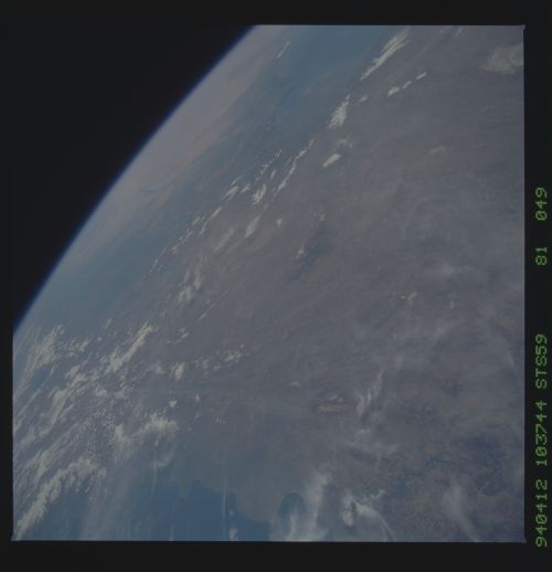
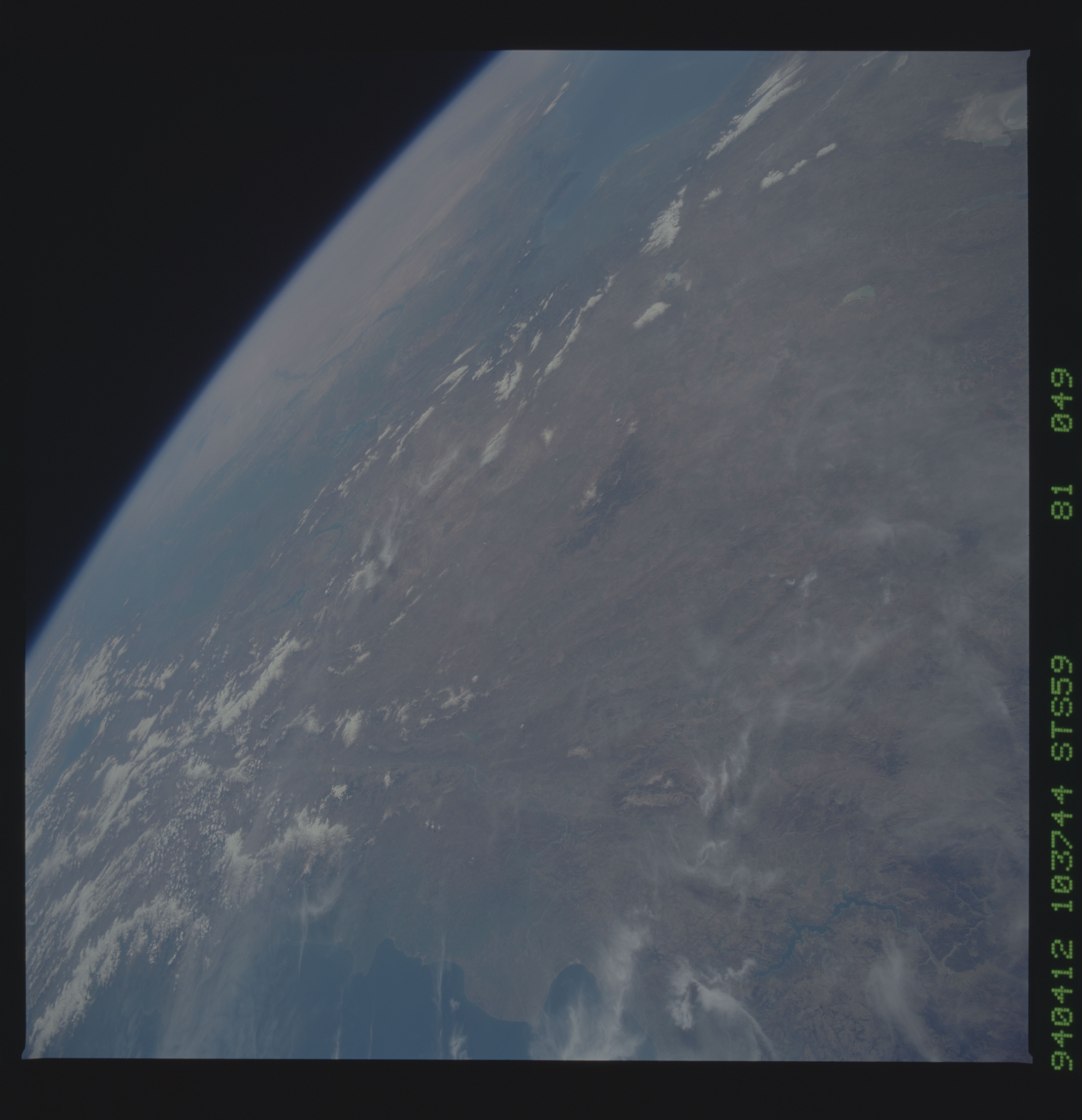
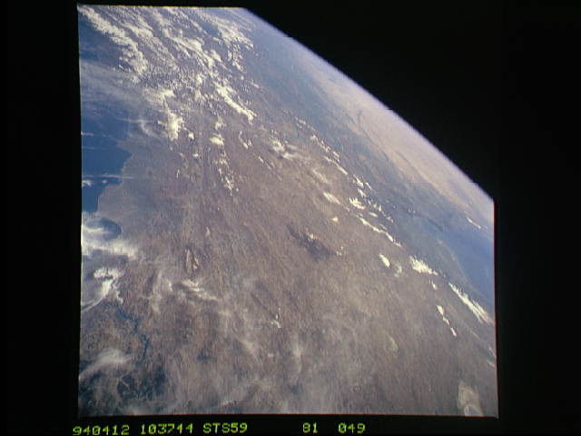
Image Caption: STS059-81-49 Turkey This panoramic view of Turkey extends from central
(just east of Ankara) to eastern Turkey. The nearly linear Anatolian
fault (1) spreads eastward through the Pontus Mountains along the
Black Sea (2) coast. Lake Van (3) is seen at the top of the photo in
eastern Turkey. At the foot of the Taurus Mountains (4) is a barren
plateau drained by the Tigris and Euphrates (5) rivers. An extension
of the Levant Fault (6) runs nearly along the Turkey and Syrian
Boarder inland from the Mediterranean (7) coast.
