STS059-75-30
| NASA Photo ID | STS059-75-30 |
| Focal Length | 250mm |
| Date taken | 1994.04.10 |
| Time taken | 08:12:24 GMT |
Resolutions offered for this image:
5255 x 5255 pixels 639 x 639 pixels 5700 x 5900 pixels 500 x 518 pixels 640 x 480 pixels
5255 x 5255 pixels 639 x 639 pixels 5700 x 5900 pixels 500 x 518 pixels 640 x 480 pixels
Cloud masks available for this image:
Spacecraft nadir point: 52.7° N, 60.3° E
Photo center point: 54.0° N, 61.5° E
Photo center point by machine learning:
Photo center point: 54.0° N, 61.5° E
Photo center point by machine learning:
Nadir to Photo Center: Northeast
Spacecraft Altitude: 117 nautical miles (217km)
Country or Geographic Name: | KAZAKHSTAN |
Features: | TROITSK, FACTORY SMOKE |
| Features Found Using Machine Learning: | |
Cloud Cover Percentage: | 0 (no clouds present) |
Sun Elevation Angle: | 45° |
Sun Azimuth: | 184° |
Camera: | Hasselblad |
Focal Length: | 250mm |
Camera Tilt: | 42 degrees |
Format: | 5046: Kodak, natural color positive, Lumiere 100/5046, ASA 100, standard base |
Film Exposure: | Normal |
| Additional Information | |
| Width | Height | Annotated | Cropped | Purpose | Links |
|---|---|---|---|---|---|
| 5255 pixels | 5255 pixels | No | No | Earth From Space collection | Download Image |
| 639 pixels | 639 pixels | No | No | Earth From Space collection | Download Image |
| 5700 pixels | 5900 pixels | No | No | Download Image | |
| 500 pixels | 518 pixels | No | No | Download Image | |
| 640 pixels | 480 pixels | No | No | Download Image |
Download Packaged File
Download a Google Earth KML for this Image
View photo footprint information
Download a GeoTIFF for this photo
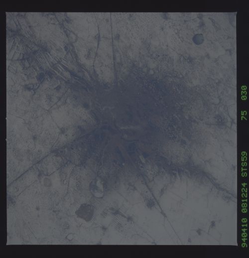
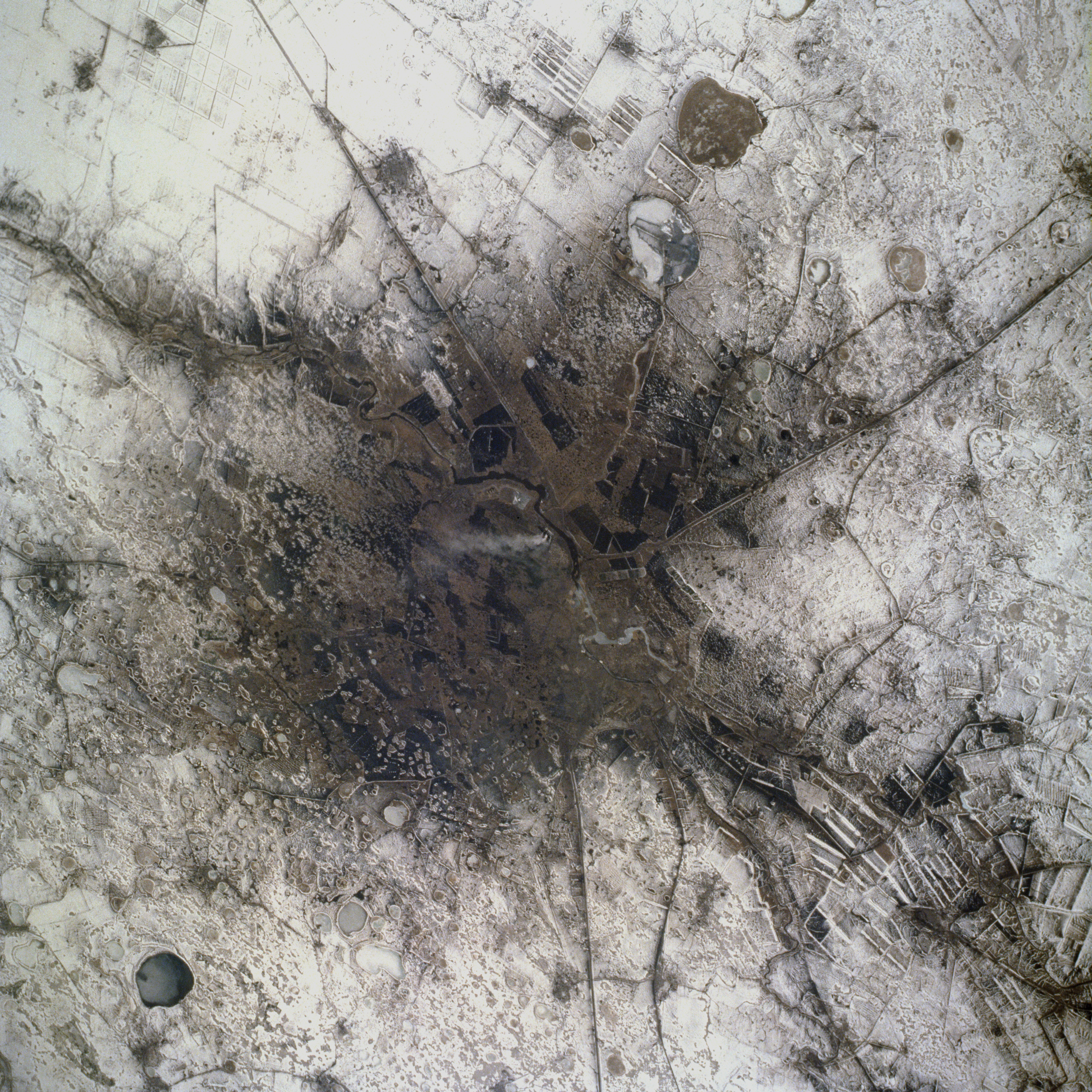
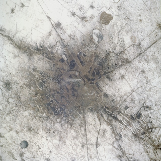
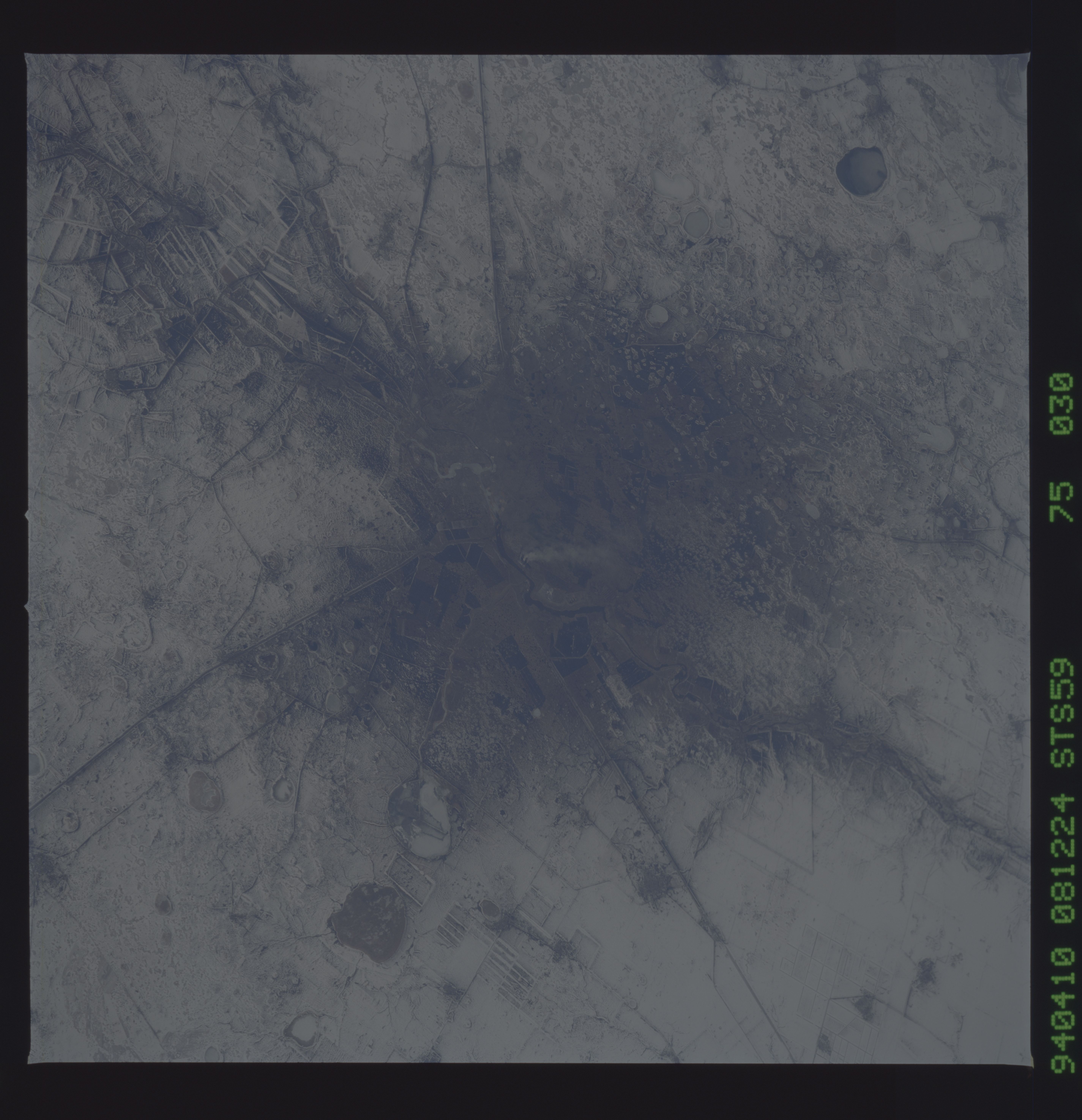
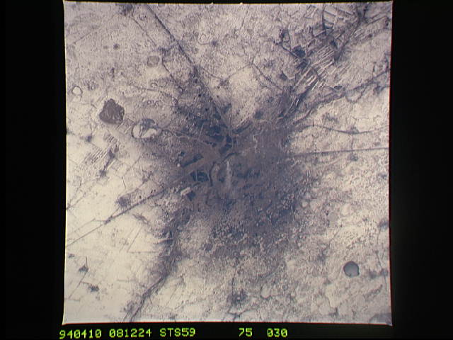
Image Caption: STS059-075-030 Troitsk, Russia April 1994
Troitsk is a relatively small city (1990 population estimated at 90 000) located on a tributary of the upper Tobol River approximately 70 miles (110 kilometers) south of Chelyabinsk. Troitsk serves as a railroad junction and a supply and trading center for the southern Ural Mountains mining district. The Russia-Kazakhstan border is immediately south of Troitsk (and is included in this photograph). Several large, cultivated field patterns (elongated, rectangular shapes) are visible through the snow-covered landscape. Because the fields are large, it can be inferred that they are probably planted with spring wheat. Numerous circular, frozen lakes are scattered throughout the countryside around Troitsk. Some of the darker areas in this photograph show the results of burning fossil fuels, both in the city and in parts of the surrounding areas. A single smoke plume rises in the center of the scene.
Troitsk is a relatively small city (1990 population estimated at 90 000) located on a tributary of the upper Tobol River approximately 70 miles (110 kilometers) south of Chelyabinsk. Troitsk serves as a railroad junction and a supply and trading center for the southern Ural Mountains mining district. The Russia-Kazakhstan border is immediately south of Troitsk (and is included in this photograph). Several large, cultivated field patterns (elongated, rectangular shapes) are visible through the snow-covered landscape. Because the fields are large, it can be inferred that they are probably planted with spring wheat. Numerous circular, frozen lakes are scattered throughout the countryside around Troitsk. Some of the darker areas in this photograph show the results of burning fossil fuels, both in the city and in parts of the surrounding areas. A single smoke plume rises in the center of the scene.
