STS059-231-29
| NASA Photo ID | STS059-231-29 |
| Focal Length | 100mm |
| Date taken | 1994.04.18 |
| Time taken | 07:06:22 GMT |
Resolutions offered for this image:
5700 x 5900 pixels 500 x 518 pixels 640 x 480 pixels 1296 x 1260 pixels
5700 x 5900 pixels 500 x 518 pixels 640 x 480 pixels 1296 x 1260 pixels


Cloud masks available for this image:
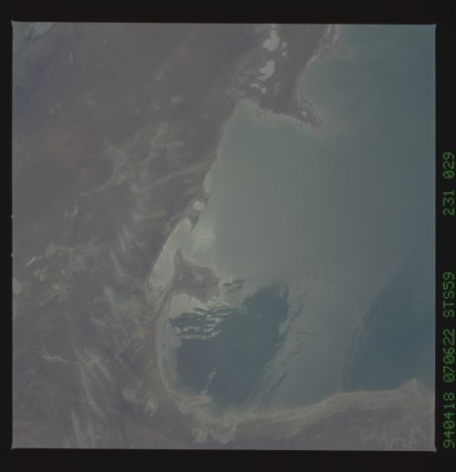
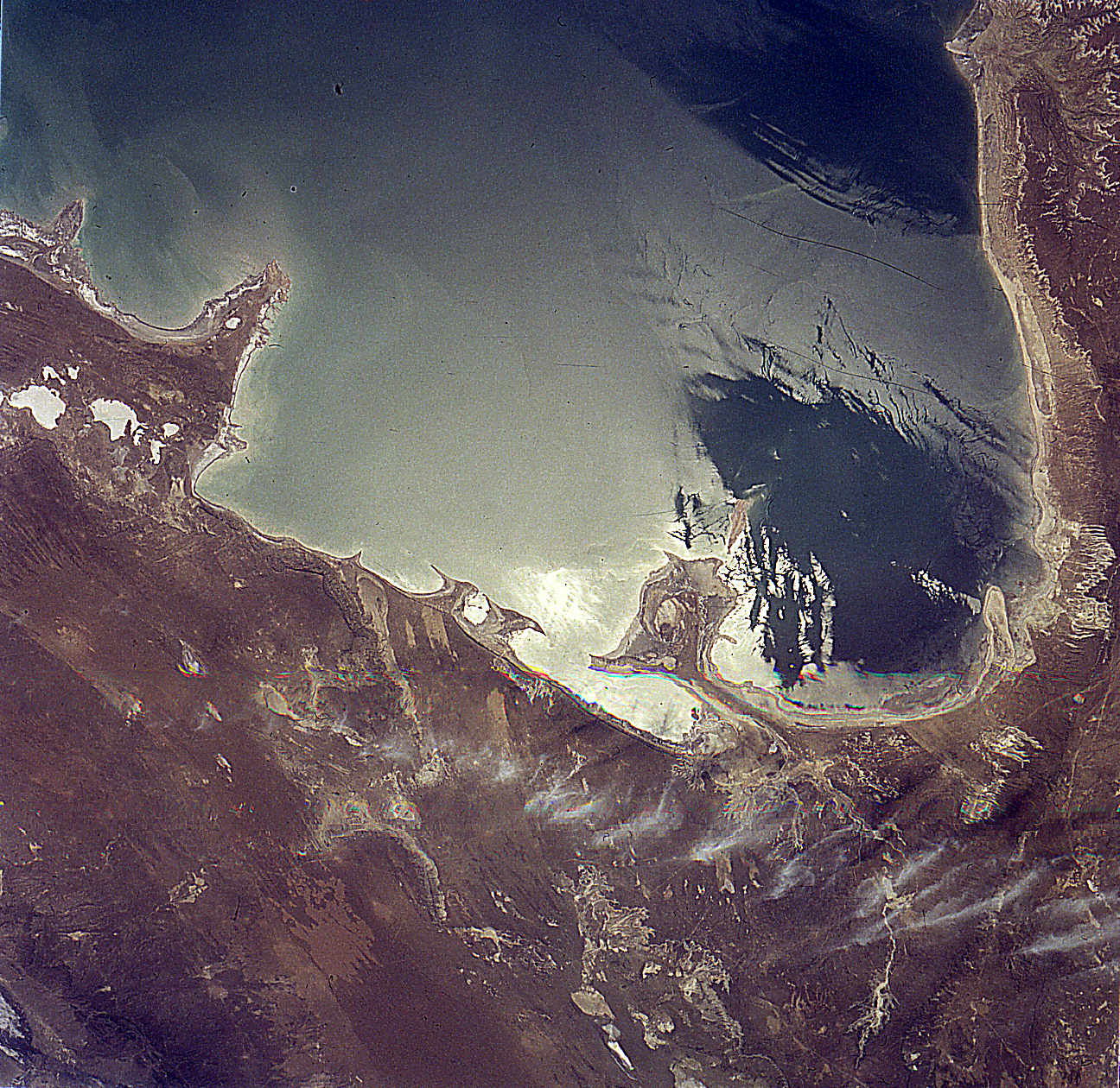
Spacecraft nadir point: 41.6° N, 53.4° E
Photo center point: 41.0° N, 54.0° E
Photo center point by machine learning:
Photo center point: 41.0° N, 54.0° E
Photo center point by machine learning:
Nadir to Photo Center: Southeast
Spacecraft Altitude: 113 nautical miles (209km)
Country or Geographic Name: | TURKMENISTAN |
Features: | KARA-BOGAZ, SUNGLINT |
| Features Found Using Machine Learning: | |
Cloud Cover Percentage: | 0 (no clouds present) |
Sun Elevation Angle: | 55° |
Sun Azimuth: | 145° |
Camera: | Hasselblad |
Focal Length: | 100mm |
Camera Tilt: | 24 degrees |
Format: | 5048: Kodak, natural color positive, Lumiere 100x/5048, ASA 100x, standard base |
Film Exposure: | Normal |
| Additional Information | |
| Width | Height | Annotated | Cropped | Purpose | Links |
|---|---|---|---|---|---|
| 5700 pixels | 5900 pixels | No | No | Download Image | |
| 500 pixels | 518 pixels | No | No | Download Image | |
| 640 pixels | 480 pixels | No | No | Download Image | |
| 1296 pixels | 1260 pixels | Shuttle-Mir Book | Download Image |
Download Packaged File
Download a Google Earth KML for this Image
View photo footprint information
Download a GeoTIFF for this photo
Image Caption: none
