STS059-225-71
| NASA Photo ID | STS059-225-71 |
| Focal Length | 250mm |
| Date taken | 1994.04.18 |
| Time taken | 15:58:56 GMT |
Resolutions offered for this image:
3904 x 3904 pixels 639 x 639 pixels 5700 x 5900 pixels 500 x 518 pixels 640 x 480 pixels
3904 x 3904 pixels 639 x 639 pixels 5700 x 5900 pixels 500 x 518 pixels 640 x 480 pixels
Cloud masks available for this image:
Spacecraft nadir point: 40.0° N, 79.6° W
Photo center point: 39.0° N, 77.5° W
Photo center point by machine learning:
Photo center point: 39.0° N, 77.5° W
Photo center point by machine learning:
Nadir to Photo Center: East
Spacecraft Altitude: 113 nautical miles (209km)
Camera: | Hasselblad |
Focal Length: | 250mm |
Camera Tilt: | 51 degrees |
Format: | 5048: Kodak, natural color positive, Lumiere 100x/5048, ASA 100x, standard base |
Film Exposure: | Normal |
| Additional Information | |
| Width | Height | Annotated | Cropped | Purpose | Links |
|---|---|---|---|---|---|
| 3904 pixels | 3904 pixels | No | No | Earth From Space collection | Download Image |
| 639 pixels | 639 pixels | No | No | Earth From Space collection | Download Image |
| 5700 pixels | 5900 pixels | No | No | Download Image | |
| 500 pixels | 518 pixels | No | No | Download Image | |
| 640 pixels | 480 pixels | No | No | Download Image |
Download Packaged File
Download a Google Earth KML for this Image
View photo footprint information
Download a GeoTIFF for this photo
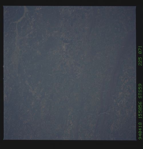
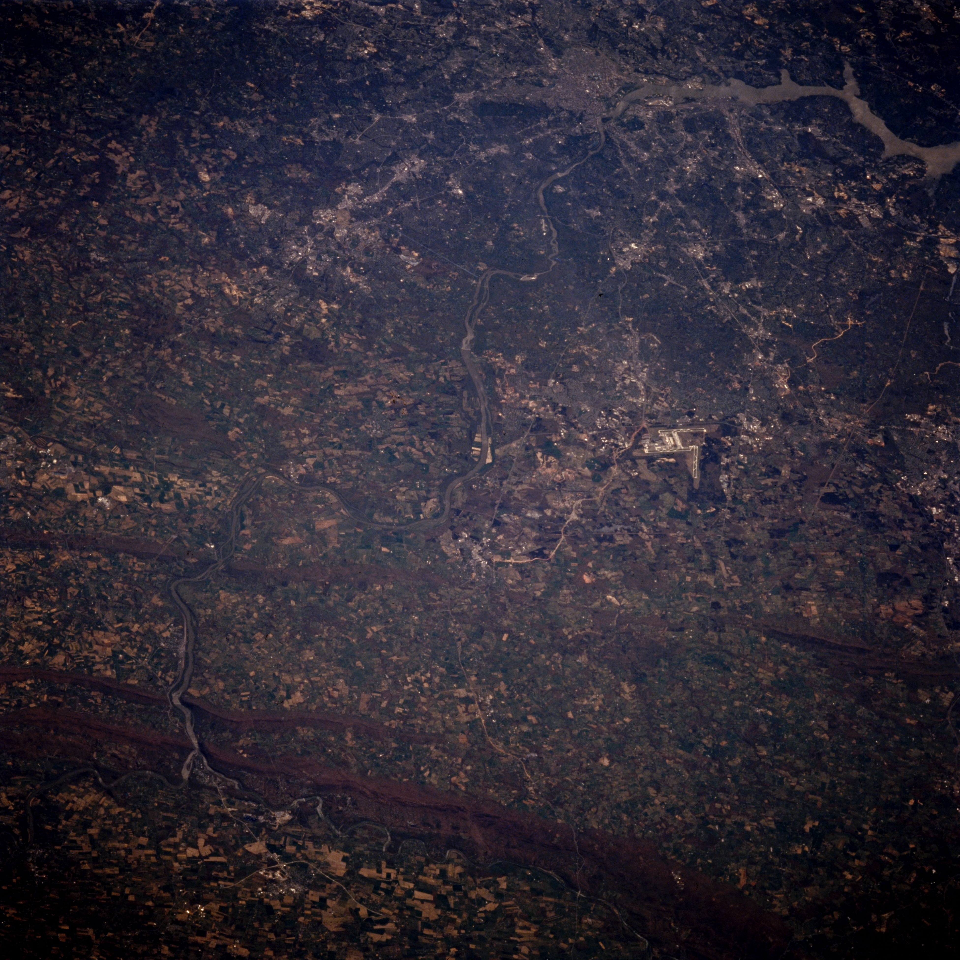
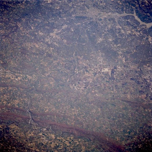
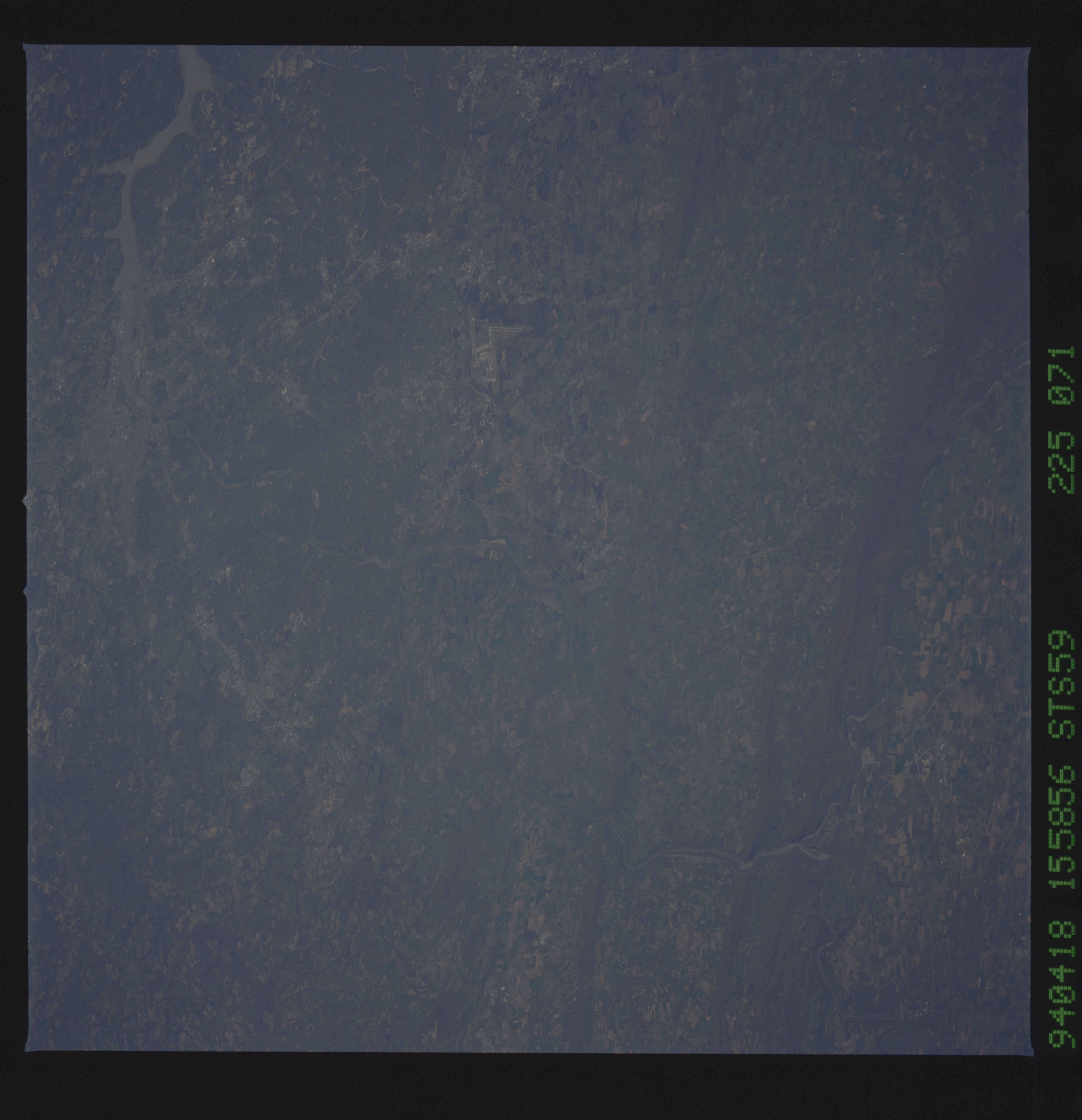
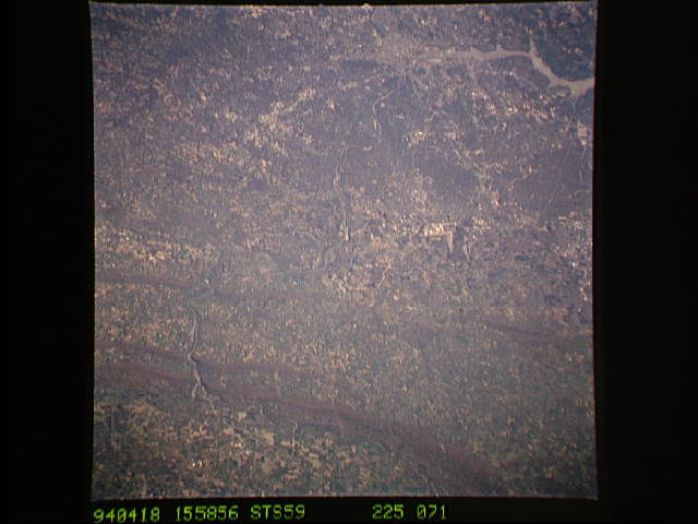
Image Caption: STS059-225-071 Potomac River; The Piedmont, Virginia/Maryland, U.S.A. April 1994
The rolling landscape of the Piedmont Region of Virginia and Maryland can be seen in this southeast-looking low-oblique view. In the upper right portion of the image, the Metropolitan Washington, D.C., area and the tidal estuary of the Potomac River are visible. At the bottom left of the image, a small portion of the Shenandoah River Valley is discernible. The Blue Ridge Mountains cross the bottom portion of the image. The Potomac River, separating Virginia to the right (south), and Maryland to the left (north), is visible traversing the scene near the bottom center of the image. The river cuts gaps into the Blue Ridge Mountains, as it flows generally southeastward into Washington, D.C. The runways of the Dulles International Airport can be seen to the right of the center of the image.
The rolling landscape of the Piedmont Region of Virginia and Maryland can be seen in this southeast-looking low-oblique view. In the upper right portion of the image, the Metropolitan Washington, D.C., area and the tidal estuary of the Potomac River are visible. At the bottom left of the image, a small portion of the Shenandoah River Valley is discernible. The Blue Ridge Mountains cross the bottom portion of the image. The Potomac River, separating Virginia to the right (south), and Maryland to the left (north), is visible traversing the scene near the bottom center of the image. The river cuts gaps into the Blue Ridge Mountains, as it flows generally southeastward into Washington, D.C. The runways of the Dulles International Airport can be seen to the right of the center of the image.
