STS059-222-55
| NASA Photo ID | STS059-222-55 |
| Focal Length | 100mm |
| Date taken | 1994.04.17 |
| Time taken | 17:51:40 GMT |
Resolutions offered for this image:
3863 x 3904 pixels 633 x 639 pixels 5700 x 5900 pixels 500 x 518 pixels 640 x 480 pixels
3863 x 3904 pixels 633 x 639 pixels 5700 x 5900 pixels 500 x 518 pixels 640 x 480 pixels
Cloud masks available for this image:
Spacecraft nadir point: 32.5° N, 94.0° W
Photo center point: 32.0° N, 93.5° W
Photo center point by machine learning:
Photo center point: 32.0° N, 93.5° W
Photo center point by machine learning:
Nadir to Photo Center: Southeast
Spacecraft Altitude: 113 nautical miles (209km)
Camera: | Hasselblad |
Focal Length: | 100mm |
Camera Tilt: | 21 degrees |
Format: | 5048: Kodak, natural color positive, Lumiere 100x/5048, ASA 100x, standard base |
Film Exposure: | Normal |
| Additional Information | |
| Width | Height | Annotated | Cropped | Purpose | Links |
|---|---|---|---|---|---|
| 3863 pixels | 3904 pixels | No | No | Earth From Space collection | Download Image |
| 633 pixels | 639 pixels | No | No | Earth From Space collection | Download Image |
| 5700 pixels | 5900 pixels | No | No | Download Image | |
| 500 pixels | 518 pixels | No | No | Download Image | |
| 640 pixels | 480 pixels | No | No | Download Image |
Download Packaged File
Download a Google Earth KML for this Image
View photo footprint information
Download a GeoTIFF for this photo
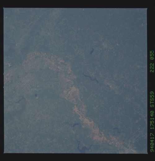
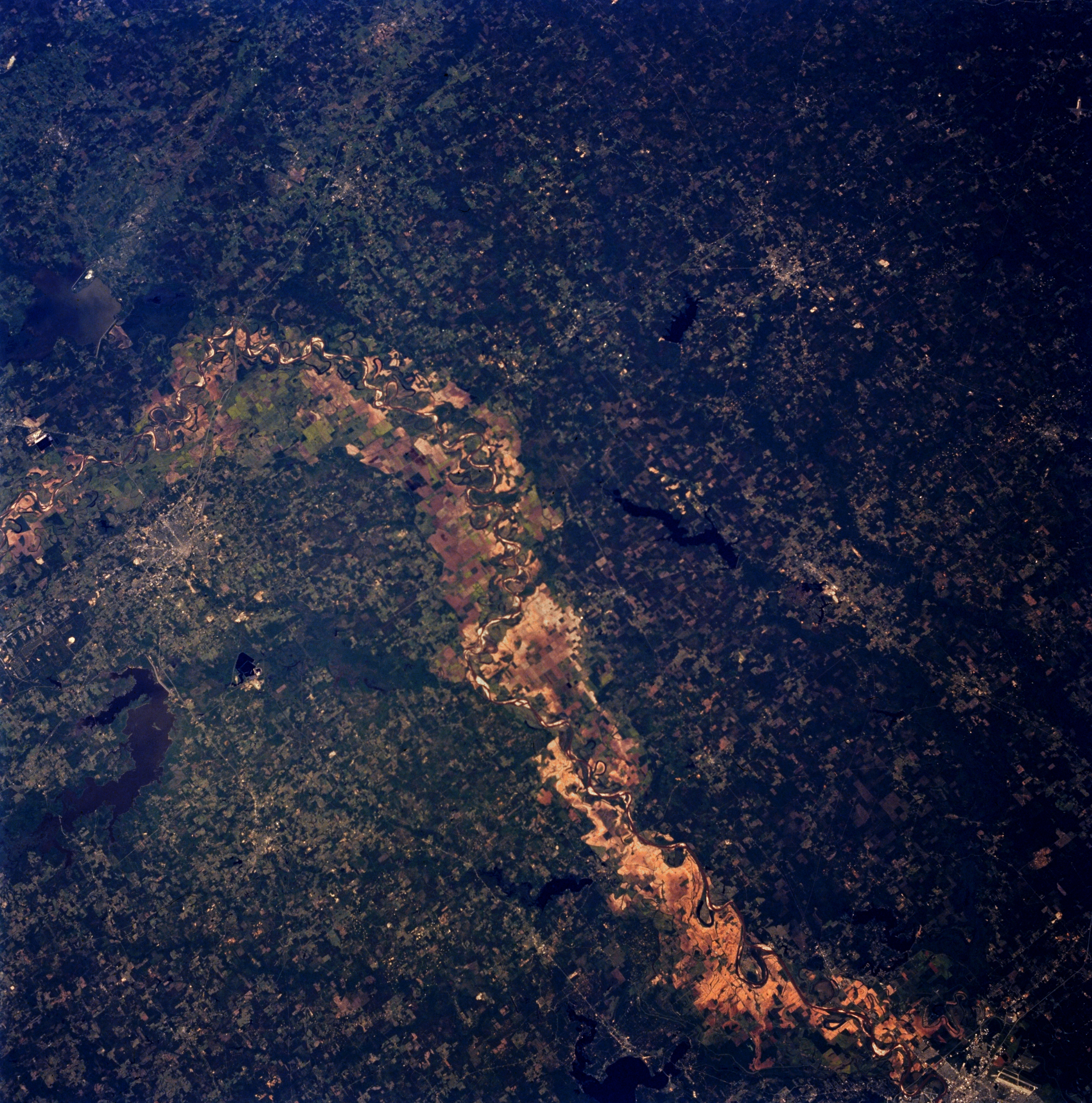
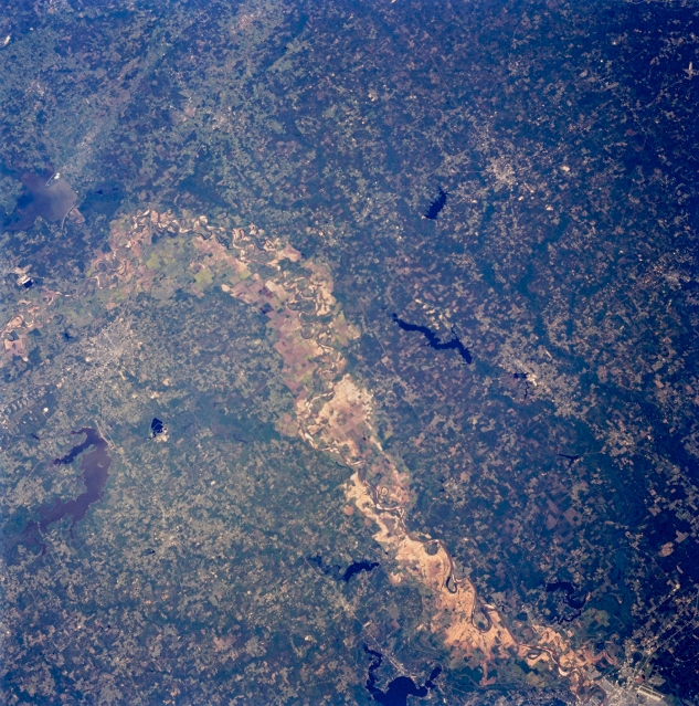
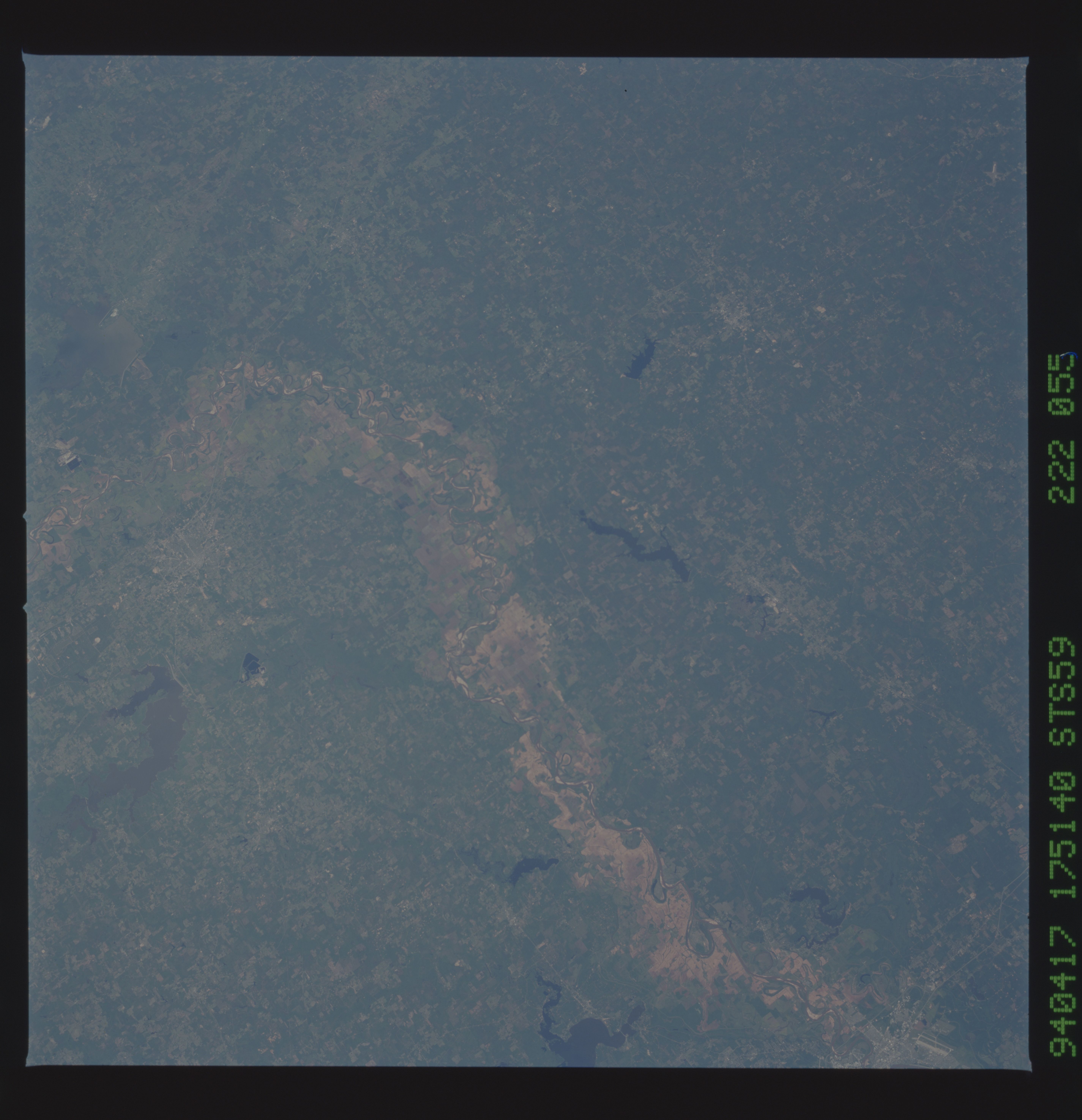
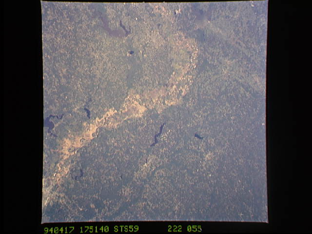
Image Caption: STS059-222-055 Northeast Texas, Texas, U.S.A. April 1994
Parts of northeast Texas, southwest Arkansas, and northwest Louisiana are included in this oblique, northeast-looking photograph. The broad floodplain scar of the meandering Red River is impressive as the river makes a 90-degree east-to-south turn immediately northeast of Texarkana (barely discernible). Much of the broad floodplain is used for agriculture. Several reservoirs identifiable in the three-state area--Wright Patman Lake in Texas and U-shaped Caddo Lake, which straddles the Texas-Louisiana border; Black Bayou Lake in the northwest corner of Louisiana; and Millwood Lake and, to its southeast, elongated Lake Erling in Arkansas. Dark areas denote dense vegetation and woodlands; lighter terrain shows cultivated fields and pastureland. Visible are a section of Shreveport and the runway and apron of Barksdale Air Force Base (lower right corner).
Parts of northeast Texas, southwest Arkansas, and northwest Louisiana are included in this oblique, northeast-looking photograph. The broad floodplain scar of the meandering Red River is impressive as the river makes a 90-degree east-to-south turn immediately northeast of Texarkana (barely discernible). Much of the broad floodplain is used for agriculture. Several reservoirs identifiable in the three-state area--Wright Patman Lake in Texas and U-shaped Caddo Lake, which straddles the Texas-Louisiana border; Black Bayou Lake in the northwest corner of Louisiana; and Millwood Lake and, to its southeast, elongated Lake Erling in Arkansas. Dark areas denote dense vegetation and woodlands; lighter terrain shows cultivated fields and pastureland. Visible are a section of Shreveport and the runway and apron of Barksdale Air Force Base (lower right corner).
