STS059-216-79
| NASA Photo ID | STS059-216-79 |
| Focal Length | 250mm |
| Date taken | 1994.04.12 |
| Time taken | 16:31:49 GMT |
Resolutions offered for this image:
3845 x 3863 pixels 637 x 639 pixels 5700 x 5900 pixels 500 x 518 pixels 640 x 480 pixels
3845 x 3863 pixels 637 x 639 pixels 5700 x 5900 pixels 500 x 518 pixels 640 x 480 pixels
Cloud masks available for this image:
Spacecraft nadir point: 44.6° N, 59.8° W
Photo center point: 44.0° N, 60.0° W
Photo center point by machine learning:
Photo center point: 44.0° N, 60.0° W
Photo center point by machine learning:
Nadir to Photo Center: South
Spacecraft Altitude: 117 nautical miles (217km)
Country or Geographic Name: | CANADA-NS |
Features: | SABLE ISLAND |
| Features Found Using Machine Learning: | |
Cloud Cover Percentage: | 0 (no clouds present) |
Sun Elevation Angle: | 54° |
Sun Azimuth: | 193° |
Camera: | Hasselblad |
Focal Length: | 250mm |
Camera Tilt: | 18 degrees |
Format: | 5048: Kodak, natural color positive, Lumiere 100x/5048, ASA 100x, standard base |
Film Exposure: | Normal |
| Additional Information | |
| Width | Height | Annotated | Cropped | Purpose | Links |
|---|---|---|---|---|---|
| 3845 pixels | 3863 pixels | No | No | Earth From Space collection | Download Image |
| 637 pixels | 639 pixels | No | No | Earth From Space collection | Download Image |
| 5700 pixels | 5900 pixels | No | No | Download Image | |
| 500 pixels | 518 pixels | No | No | Download Image | |
| 640 pixels | 480 pixels | No | No | Download Image |
Download Packaged File
Download a Google Earth KML for this Image
View photo footprint information
Download a GeoTIFF for this photo
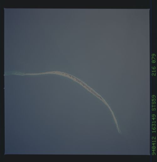
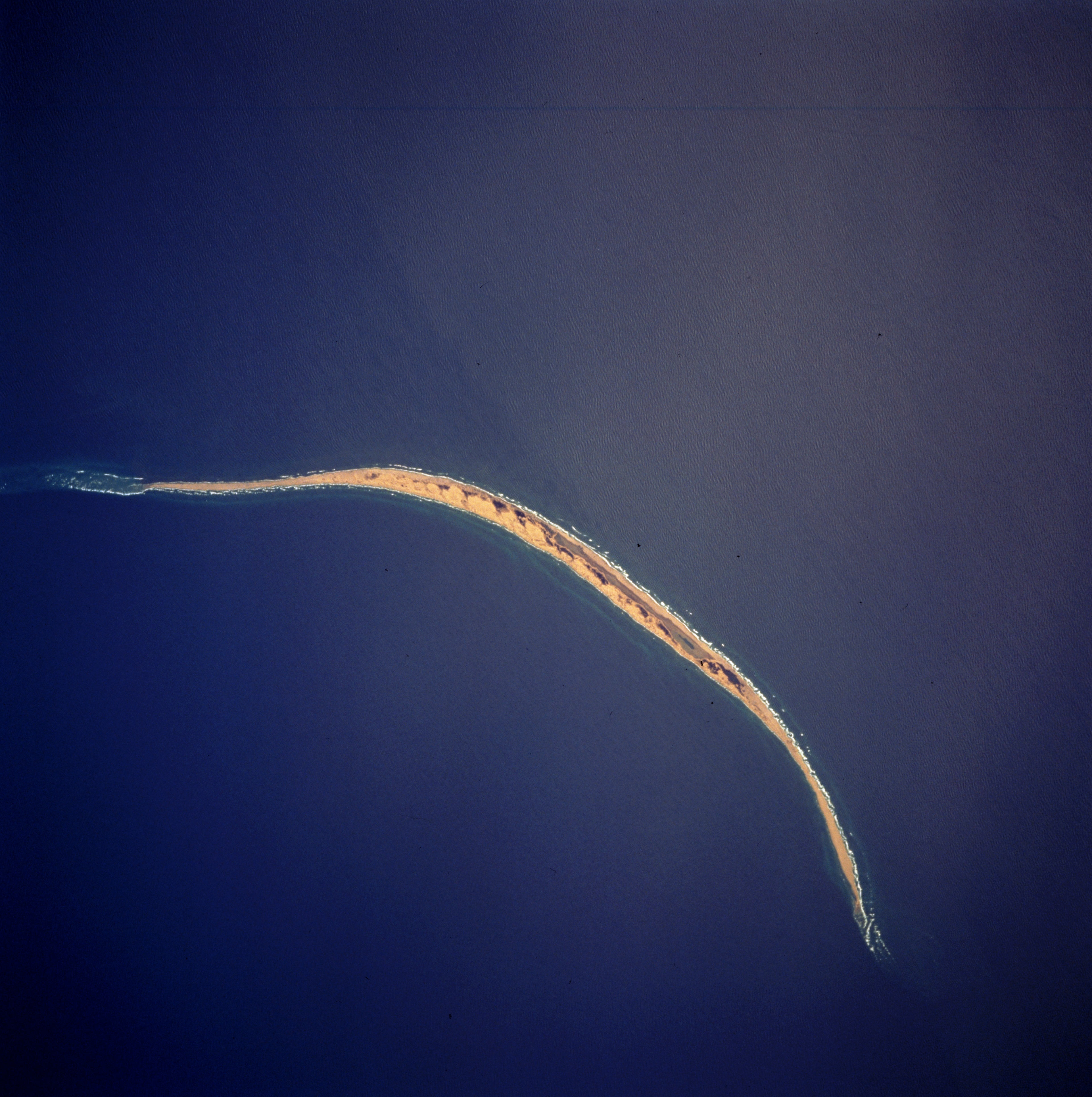
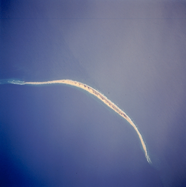
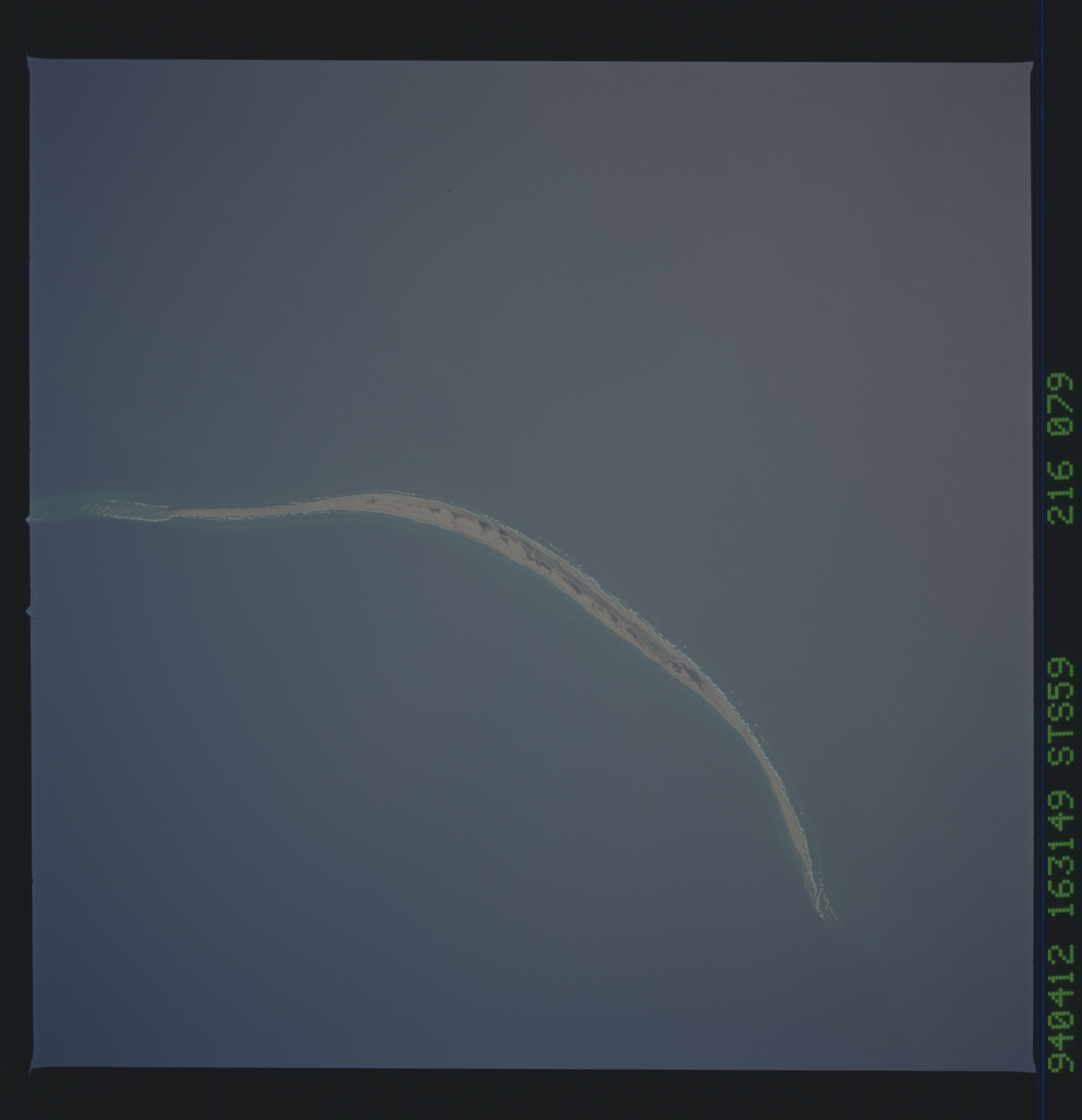
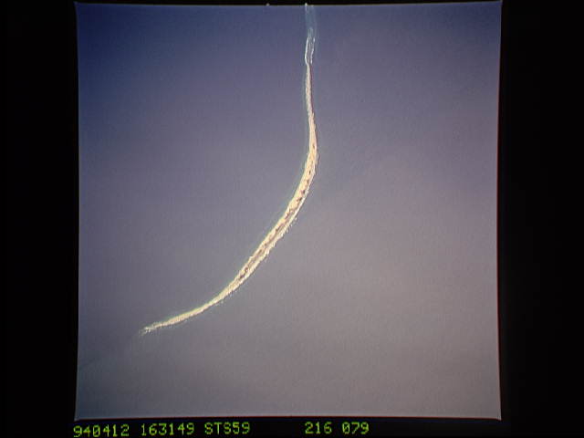
Image Caption: STS059-216-079 Sable Island, Nova Scotia, Canada April 1994
Sable Island is a low sandy island approximately 25 miles (40 km) long and 1 mile (1.5 km) wide in the Atlantic Ocean. Located 115 miles (180 km) southeast of Cape Canso, Nova Scotia, the island is the exposed part of a sand shoal that extends northeast/southwest for more than 100 miles (160 km). Sable Island, known as the "graveyard of the Atlantic Ocean," has been a major hazard to navigation. The island is also noted as a breeding ground for seals, which are protected by the Canadian government. The island helps to mark the western edge of the northeasterly flowing warm waters of the Gulf Stream.
Sable Island is a low sandy island approximately 25 miles (40 km) long and 1 mile (1.5 km) wide in the Atlantic Ocean. Located 115 miles (180 km) southeast of Cape Canso, Nova Scotia, the island is the exposed part of a sand shoal that extends northeast/southwest for more than 100 miles (160 km). Sable Island, known as the "graveyard of the Atlantic Ocean," has been a major hazard to navigation. The island is also noted as a breeding ground for seals, which are protected by the Canadian government. The island helps to mark the western edge of the northeasterly flowing warm waters of the Gulf Stream.
