STS059-202-6
| NASA Photo ID | STS059-202-6 |
| Focal Length | 250mm |
| Date taken | 1994.04.11 |
| Time taken | 07:46:36 GMT |
Resolutions offered for this image:
4064 x 4064 pixels 639 x 639 pixels 5700 x 5900 pixels 500 x 518 pixels 640 x 480 pixels
4064 x 4064 pixels 639 x 639 pixels 5700 x 5900 pixels 500 x 518 pixels 640 x 480 pixels


Cloud masks available for this image:
Spacecraft nadir point: 55.5° N, 8.7° E
Photo center point: 56.5° N, 9.0° E
Photo center point by machine learning:
Photo center point: 56.5° N, 9.0° E
Photo center point by machine learning:
Nadir to Photo Center: North
Spacecraft Altitude: 118 nautical miles (219km)
Country or Geographic Name: | DENMARK |
Features: | LIMFJORDEN |
| Features Found Using Machine Learning: | |
Cloud Cover Percentage: | 0 (no clouds present) |
Sun Elevation Angle: | 26° |
Sun Azimuth: | 115° |
Camera: | Hasselblad |
Focal Length: | 250mm |
Camera Tilt: | 28 degrees |
Format: | 5048: Kodak, natural color positive, Lumiere 100x/5048, ASA 100x, standard base |
Film Exposure: | Normal |
| Additional Information | |
| Width | Height | Annotated | Cropped | Purpose | Links |
|---|---|---|---|---|---|
| 4064 pixels | 4064 pixels | No | No | Earth From Space collection | Download Image |
| 639 pixels | 639 pixels | No | No | Earth From Space collection | Download Image |
| 5700 pixels | 5900 pixels | No | No | Download Image | |
| 500 pixels | 518 pixels | No | No | Download Image | |
| 640 pixels | 480 pixels | No | No | Download Image |
Download Packaged File
Download a Google Earth KML for this Image
View photo footprint information
Download a GeoTIFF for this photo
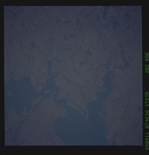
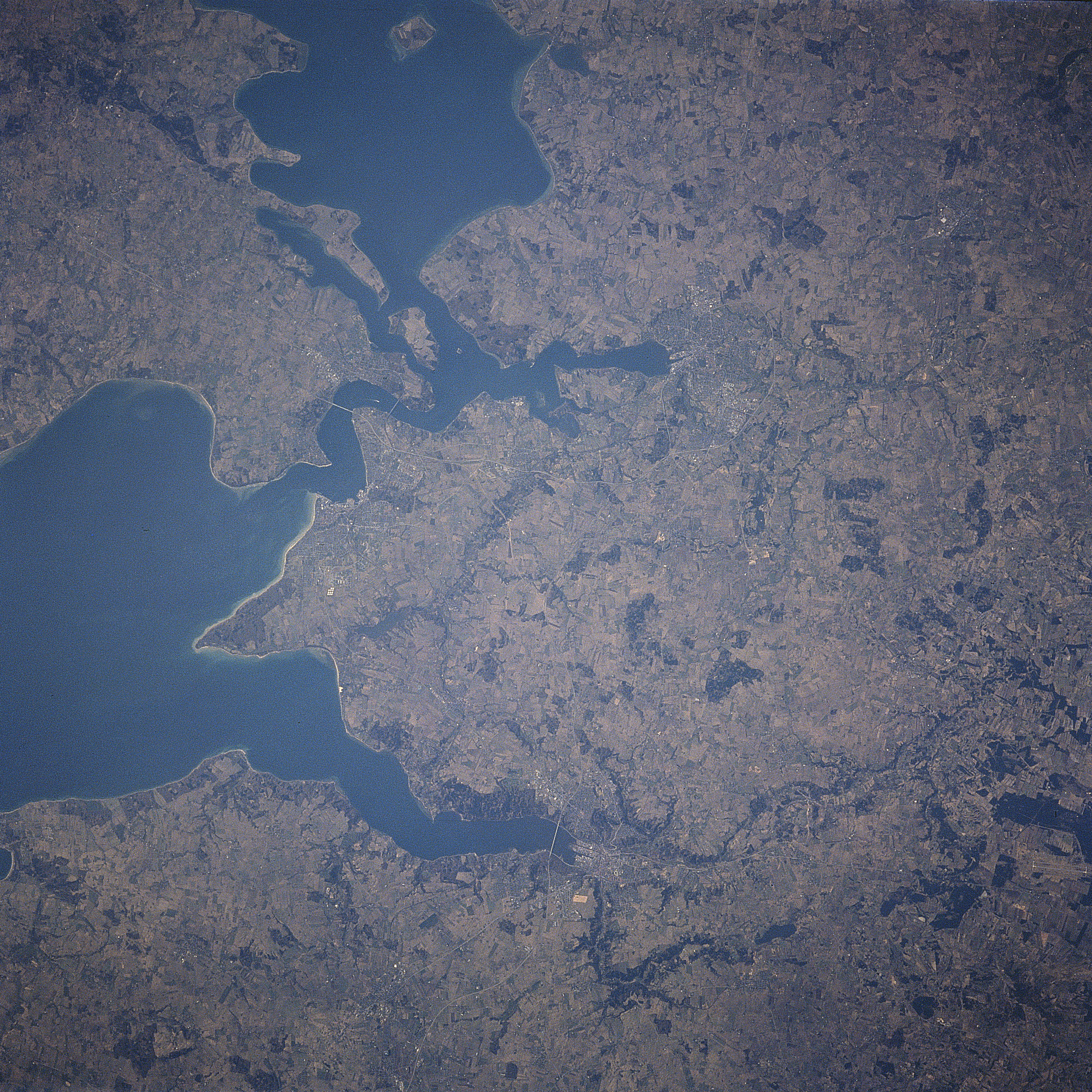
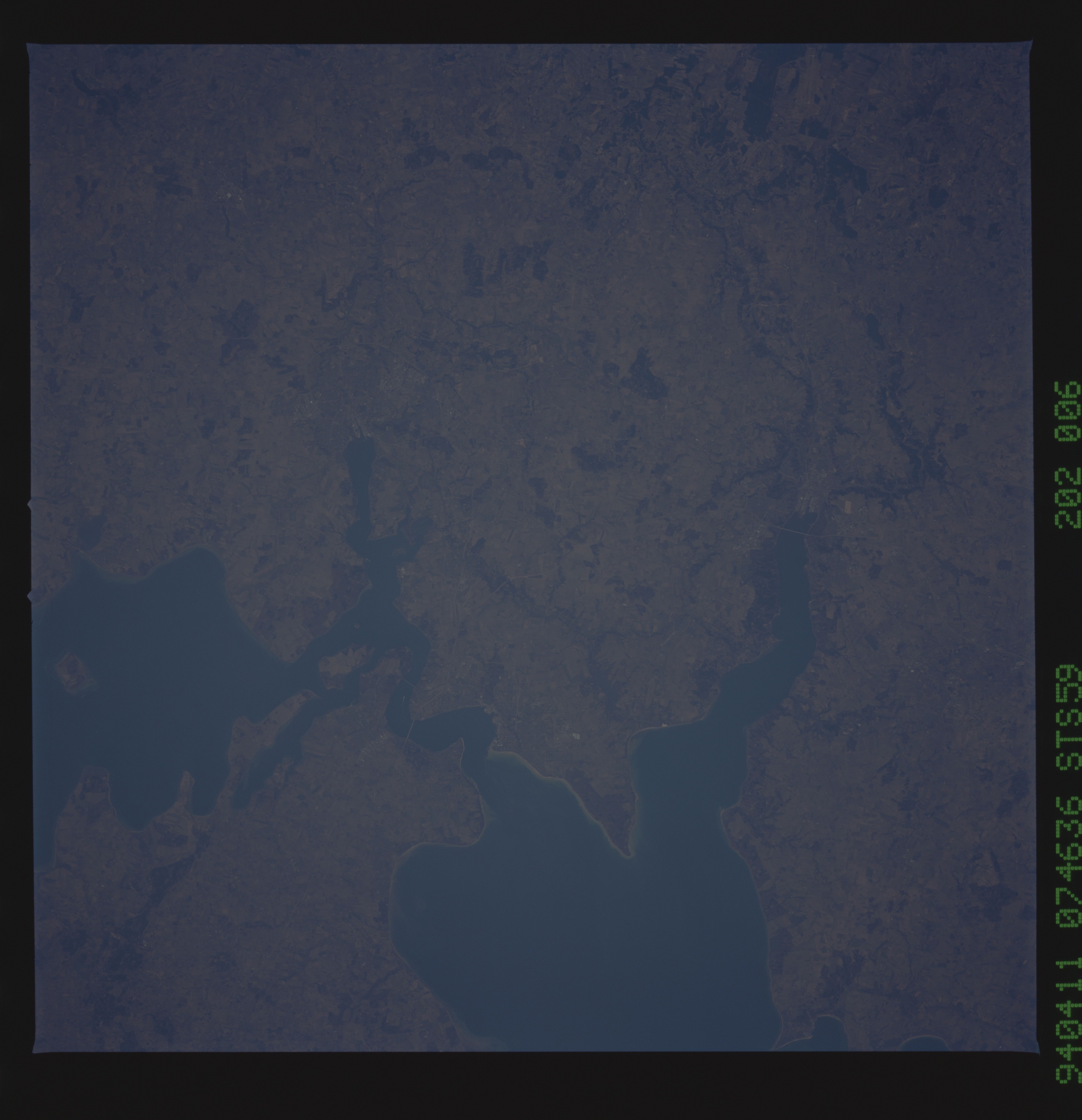
Image Caption: STS059-202-006 Jutland Peninsula, Fyn Island, Denmark April 1994
Portions of the Jutland Peninsula (right half on image) and Fyn Island (upper left on image) can be seen in this south-looking view. Little Strait separates the Jutland Peninsula from Fyn Island. Though the western portion of the Jutland Peninsula (extreme right portion of the image) is wind swept, sandy, with poor soil, marshes, and many lagoons, the east portion (visible on the image) is fertile and densely populated. Dairying and livestock are the main occupations. Fyn Island is a largely fertile low plain, with dairy goods, sugar beets, and cereal grains the chief agricultural products. The island's coasts are dotted with many summer residences. Bridges are visible across Little Strait connecting Fyn Island and the Jutland Peninsula.
Portions of the Jutland Peninsula (right half on image) and Fyn Island (upper left on image) can be seen in this south-looking view. Little Strait separates the Jutland Peninsula from Fyn Island. Though the western portion of the Jutland Peninsula (extreme right portion of the image) is wind swept, sandy, with poor soil, marshes, and many lagoons, the east portion (visible on the image) is fertile and densely populated. Dairying and livestock are the main occupations. Fyn Island is a largely fertile low plain, with dairy goods, sugar beets, and cereal grains the chief agricultural products. The island's coasts are dotted with many summer residences. Bridges are visible across Little Strait connecting Fyn Island and the Jutland Peninsula.
