STS058-88-56
| NASA Photo ID | STS058-88-56 |
| Focal Length | 250mm |
| Date taken | 1993.10.22 |
| Time taken | 16:43:23 GMT |
Resolutions offered for this image:
3904 x 3904 pixels 639 x 639 pixels 5700 x 5900 pixels 500 x 518 pixels 640 x 480 pixels
3904 x 3904 pixels 639 x 639 pixels 5700 x 5900 pixels 500 x 518 pixels 640 x 480 pixels


Cloud masks available for this image:
Spacecraft nadir point: 39.1° N, 91.4° W
Photo center point: 38.5° N, 91.0° W
Photo center point by machine learning:
Photo center point: 38.5° N, 91.0° W
Photo center point by machine learning:
Nadir to Photo Center: Southeast
Spacecraft Altitude: 155 nautical miles (287km)
Country or Geographic Name: | USA-MISSOURI |
Features: | MISSOURI RIVER |
| Features Found Using Machine Learning: | |
Cloud Cover Percentage: | 0 (no clouds present) |
Sun Elevation Angle: | 37° |
Sun Azimuth: | 159° |
Camera: | Hasselblad |
Focal Length: | 250mm |
Camera Tilt: | 16 degrees |
Format: | 5017: Kodak, natural color positive, Ektachrome, X Professional, ASA 64, standard base |
Film Exposure: | Normal |
| Additional Information | |
| Width | Height | Annotated | Cropped | Purpose | Links |
|---|---|---|---|---|---|
| 3904 pixels | 3904 pixels | No | No | Earth From Space collection | Download Image |
| 639 pixels | 639 pixels | No | No | Earth From Space collection | Download Image |
| 5700 pixels | 5900 pixels | No | No | Download Image | |
| 500 pixels | 518 pixels | No | No | Download Image | |
| 640 pixels | 480 pixels | No | No | Download Image |
Download Packaged File
Download a Google Earth KML for this Image
View photo footprint information
Download a GeoTIFF for this photo
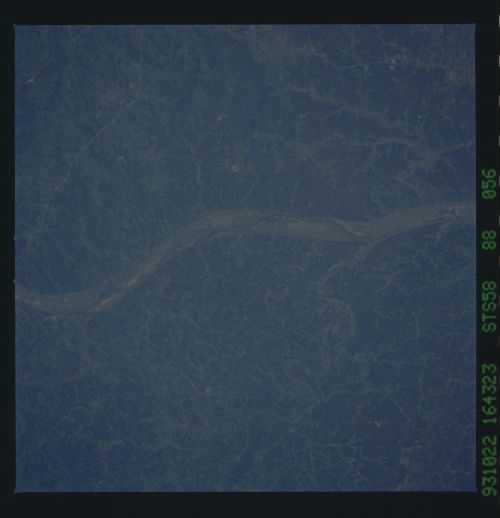
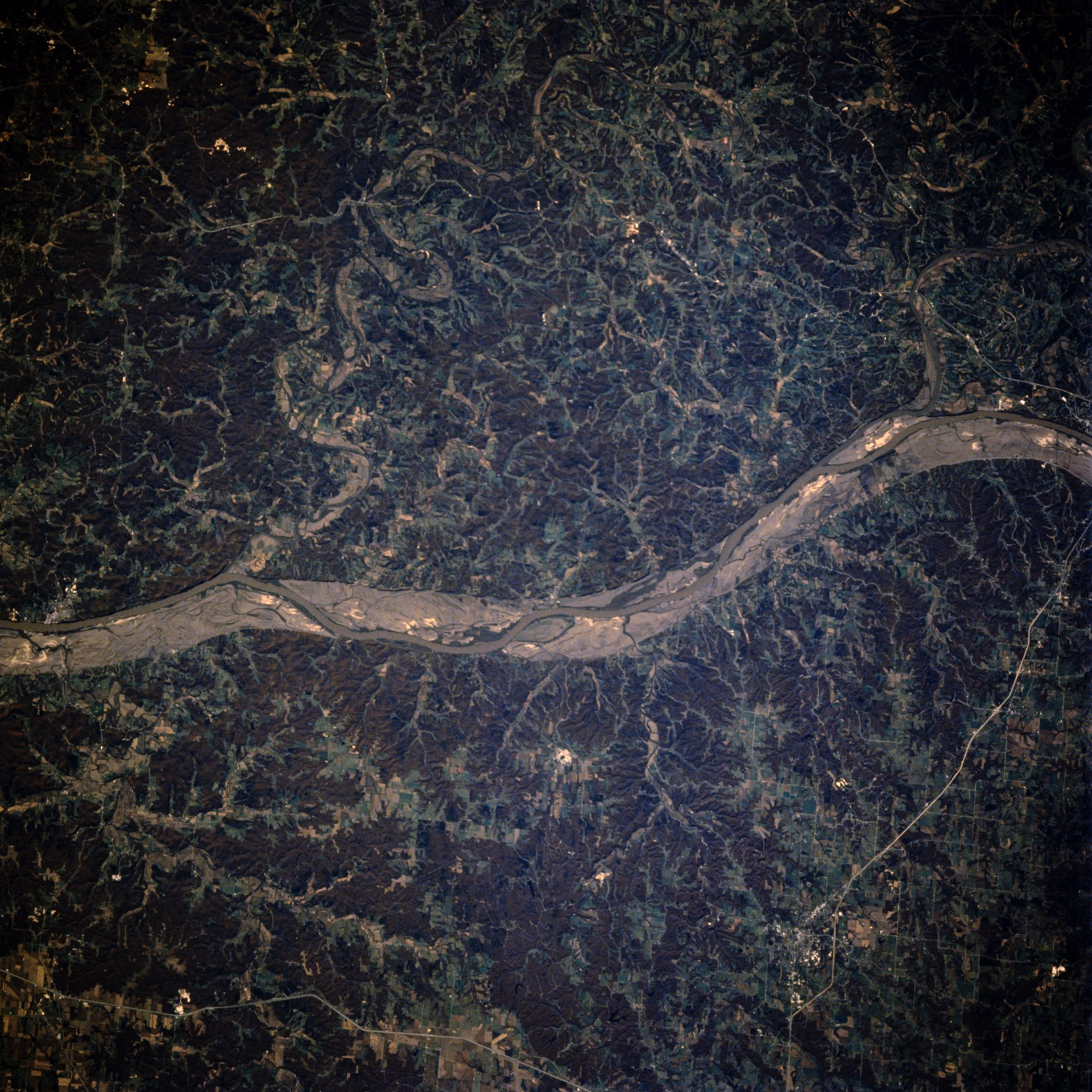
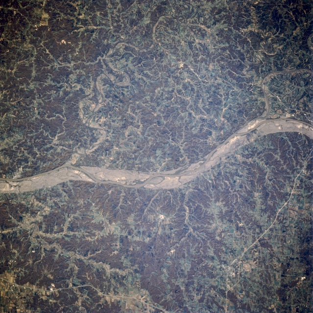
Image Caption: STS058-088-056 Missouri River, Missouri, U.S.A. October 1993
Visible in this near-vertical photograph are the Missouri River and its scoured sand and gravel floodplain caused by the floods of the spring and early summer of 1993, the worst in more than 100 years. The floodplain between Jefferson City and Hermann is narrower than farther west as the river cuts through the northeastern portion of the Ozark Plateau. Two confluences are apparent--the Osage and Missouri Rivers just east of Jefferson City (right center of the photograph) and the Gasconade and Missouri Rivers just west of Hermann (near left center). This photograph was taken at the height of the fall foliage, which accounts for the reddish forested areas.
Visible in this near-vertical photograph are the Missouri River and its scoured sand and gravel floodplain caused by the floods of the spring and early summer of 1993, the worst in more than 100 years. The floodplain between Jefferson City and Hermann is narrower than farther west as the river cuts through the northeastern portion of the Ozark Plateau. Two confluences are apparent--the Osage and Missouri Rivers just east of Jefferson City (right center of the photograph) and the Gasconade and Missouri Rivers just west of Hermann (near left center). This photograph was taken at the height of the fall foliage, which accounts for the reddish forested areas.
