STS058-83-8
| NASA Photo ID | STS058-83-8 |
| Focal Length | 100mm |
| Date taken | 1993.10.20 |
| Time taken | 16:34:10 GMT |
Resolutions offered for this image:
3904 x 3875 pixels 639 x 635 pixels 5700 x 5900 pixels 500 x 518 pixels 640 x 480 pixels
3904 x 3875 pixels 639 x 635 pixels 5700 x 5900 pixels 500 x 518 pixels 640 x 480 pixels
Cloud masks available for this image:
Spacecraft nadir point: 33.3° N, 108.4° W
Photo center point: 33.0° N, 111.5° W
Photo center point by machine learning:
Photo center point: 33.0° N, 111.5° W
Photo center point by machine learning:
Nadir to Photo Center: West
Spacecraft Altitude: 155 nautical miles (287km)
Country or Geographic Name: | USA-ARIZONA |
Features: | AGRICULTURE SE OF PHOENIX |
| Features Found Using Machine Learning: | |
Cloud Cover Percentage: | 0 (no clouds present) |
Sun Elevation Angle: | 34° |
Sun Azimuth: | 135° |
Camera: | Hasselblad |
Focal Length: | 100mm |
Camera Tilt: | 50 degrees |
Format: | 5017: Kodak, natural color positive, Ektachrome, X Professional, ASA 64, standard base |
Film Exposure: | Normal |
| Additional Information | |
| Width | Height | Annotated | Cropped | Purpose | Links |
|---|---|---|---|---|---|
| 3904 pixels | 3875 pixels | No | No | Earth From Space collection | Download Image |
| 639 pixels | 635 pixels | No | No | Earth From Space collection | Download Image |
| 5700 pixels | 5900 pixels | No | No | Download Image | |
| 500 pixels | 518 pixels | No | No | Download Image | |
| 640 pixels | 480 pixels | No | No | Download Image |
Download Packaged File
Download a Google Earth KML for this Image
View photo footprint information
Download a GeoTIFF for this photo
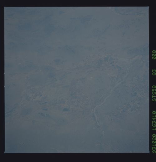
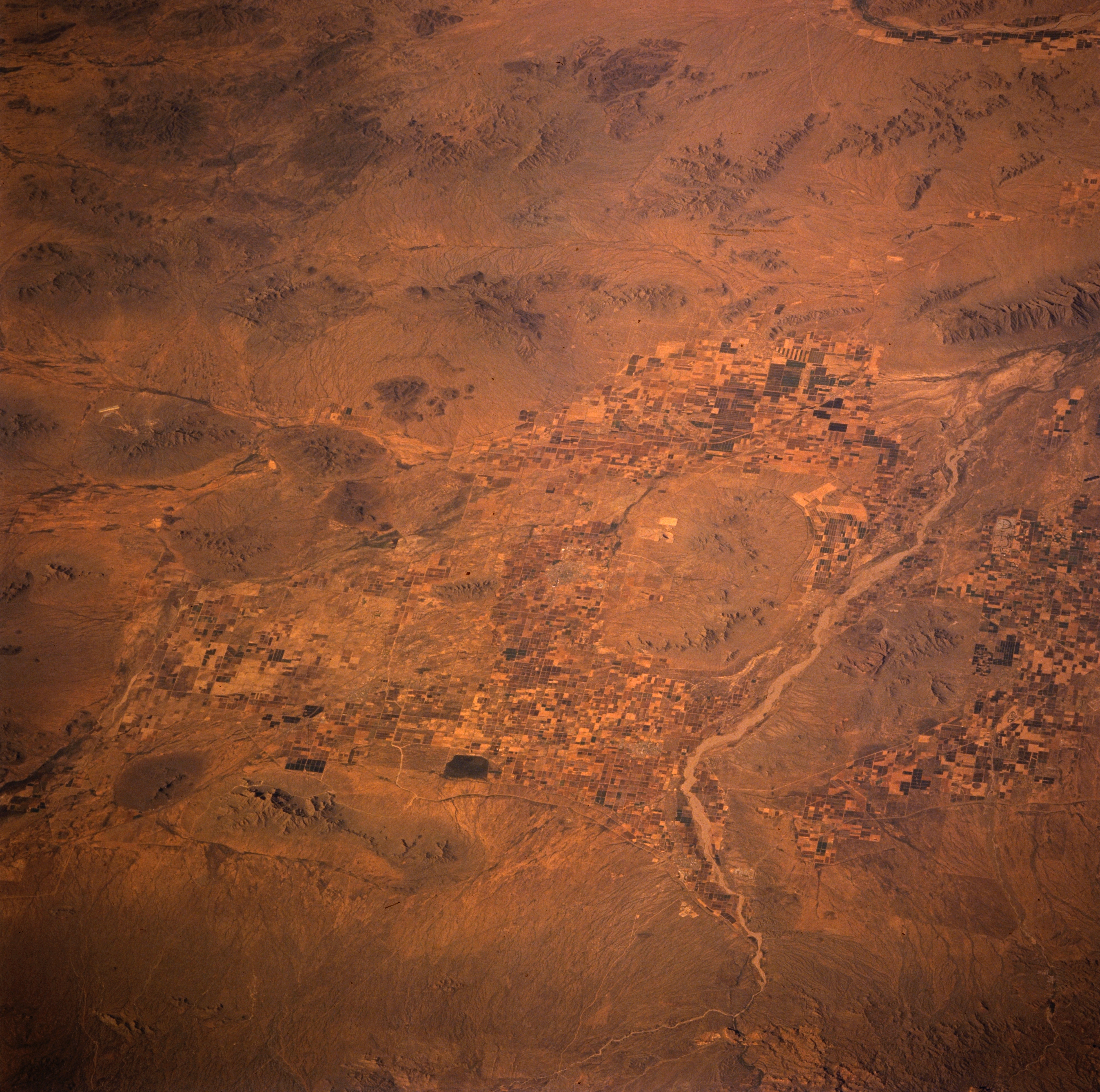
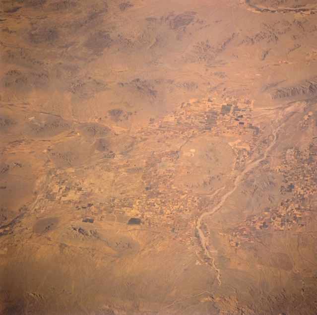
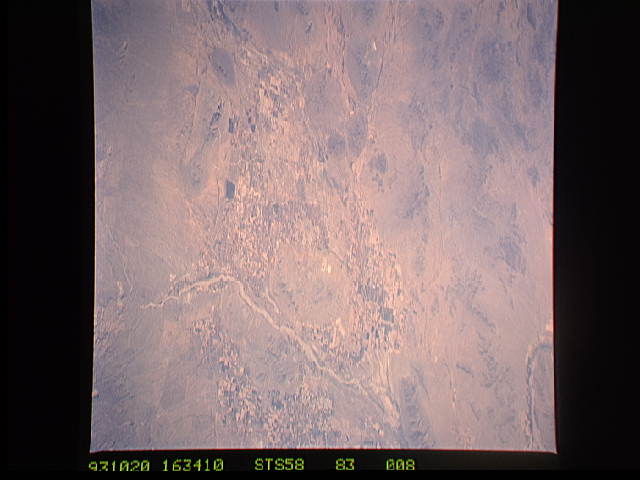
Image Caption: STS058-083-008 Agriculture, South of Phoenix, Arizona, U.S.A. October 1993
An agricultural area immediately south and southeast of Phoenix shows cultivated fields whose crops use water provided by an extensive irrigation network. Barely discernible are the west-flowing Gila River and streambed; the northwest-flowing Santa Cruz River; and smaller stream drainage channels across the desert landscape. Also discernible are the southern end of the Maricopa Mountains, southwest of Phoenix, and the darker, brown hills and low mountains that are scattered throughout this arid region. The Gila Bend area is barely visible at the upper right corner of the photograph.
An agricultural area immediately south and southeast of Phoenix shows cultivated fields whose crops use water provided by an extensive irrigation network. Barely discernible are the west-flowing Gila River and streambed; the northwest-flowing Santa Cruz River; and smaller stream drainage channels across the desert landscape. Also discernible are the southern end of the Maricopa Mountains, southwest of Phoenix, and the darker, brown hills and low mountains that are scattered throughout this arid region. The Gila Bend area is barely visible at the upper right corner of the photograph.
