STS057-90-9

| NASA Photo ID | STS057-90-9 |
| Focal Length | 50mm |
| Date taken | 1993.06.30 |
| Time taken | 04:28:32 GMT |
Resolutions offered for this image:
3872 x 3871 pixels 639 x 639 pixels 5700 x 6000 pixels 500 x 526 pixels 640 x 480 pixels 1279 x 1263 pixels 936 x 960 pixels
3872 x 3871 pixels 639 x 639 pixels 5700 x 6000 pixels 500 x 526 pixels 640 x 480 pixels 1279 x 1263 pixels 936 x 960 pixels


Cloud masks available for this image:
Spacecraft nadir point: 17.5° S, 123.5° E
Photo center point: 16.5° S, 123.0° E
Photo center point by machine learning:
Photo center point: 16.5° S, 123.0° E
Photo center point by machine learning:
Nadir to Photo Center: North
Spacecraft Altitude: 247 nautical miles (457km)
Country or Geographic Name: | AUSTRALIA-WA |
Features: | KING SOUND, COAST |
| Features Found Using Machine Learning: | |
Cloud Cover Percentage: | 0 (no clouds present) |
Sun Elevation Angle: | 48° |
Sun Azimuth: | 346° |
Camera: | Hasselblad |
Focal Length: | 50mm |
Camera Tilt: | 15 degrees |
Format: | 5017: Kodak, natural color positive, Ektachrome, X Professional, ASA 64, standard base |
Film Exposure: | Normal |
| Additional Information | |
| Width | Height | Annotated | Cropped | Purpose | Links |
|---|---|---|---|---|---|
| 3872 pixels | 3871 pixels | No | No | Earth From Space collection | Download Image |
| 639 pixels | 639 pixels | No | No | Earth From Space collection | Download Image |
| 5700 pixels | 6000 pixels | No | No | Download Image | |
| 500 pixels | 526 pixels | No | No | Download Image | |
| 640 pixels | 480 pixels | No | No | Download Image | |
| 1279 pixels | 1263 pixels | No | No | Download Image | |
| 936 pixels | 960 pixels | Yes | No | Download Image |
Download Packaged File
Download a Google Earth KML for this Image
View photo footprint information
Download a GeoTIFF for this photo
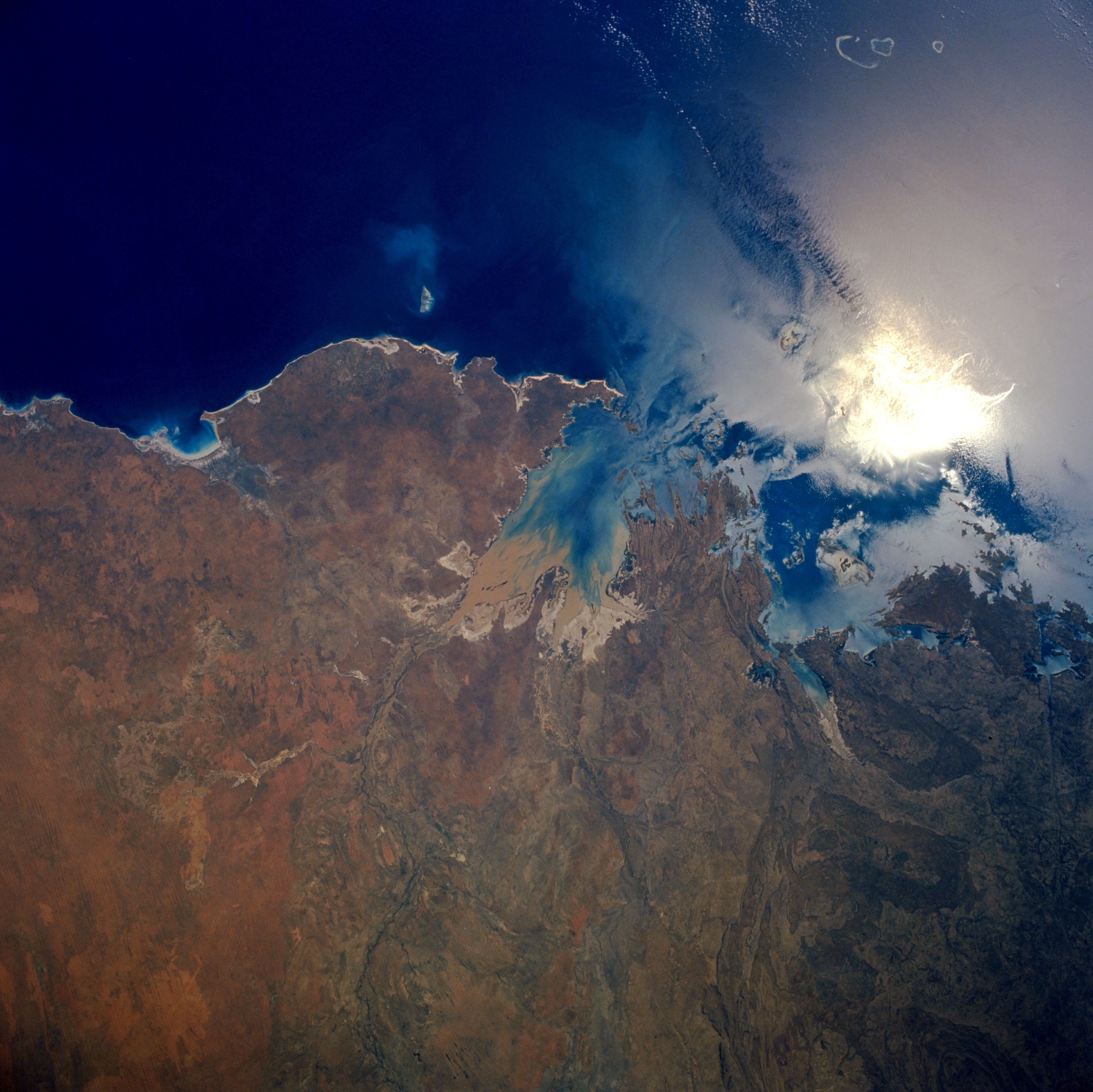
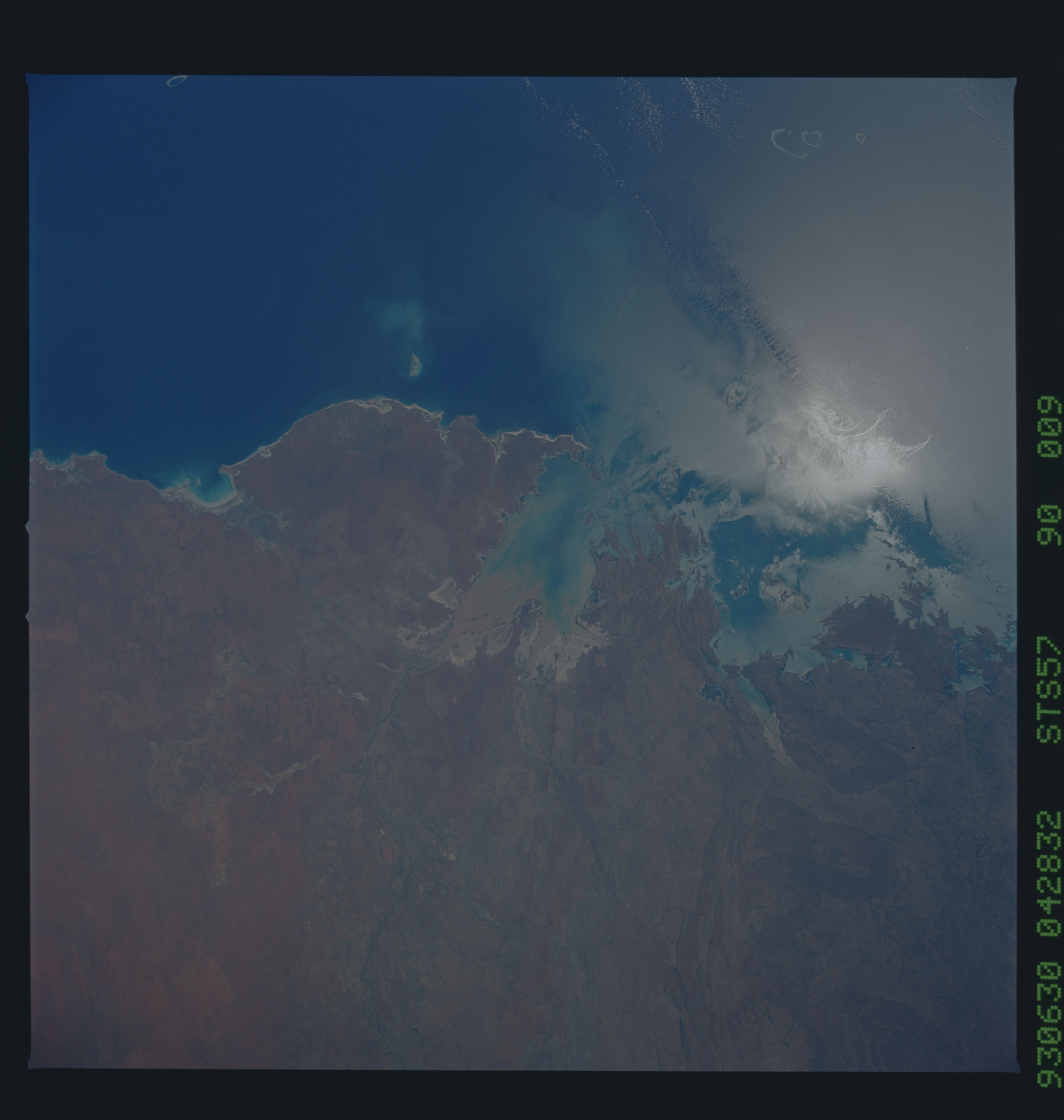
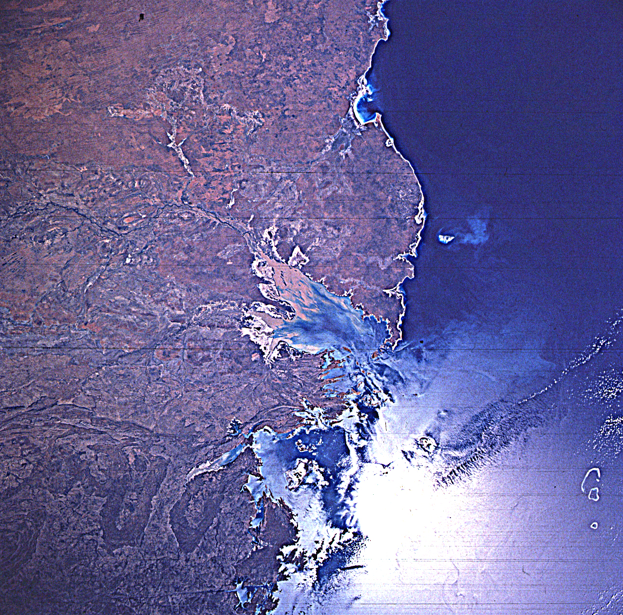
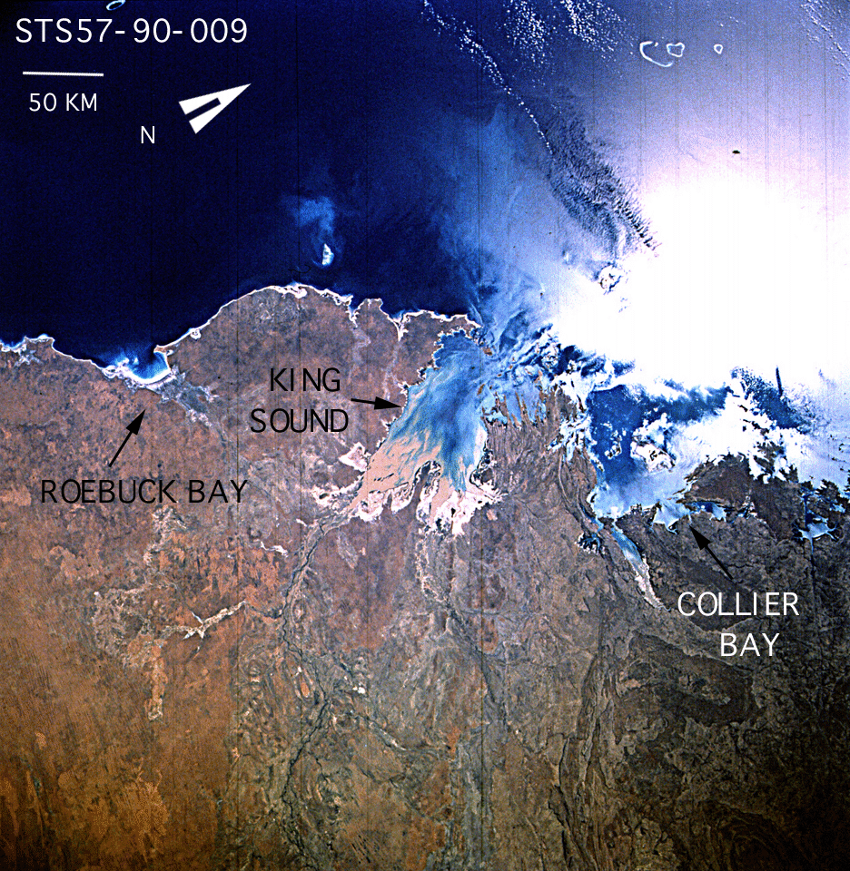
Image Caption: STS057-90-9 King Sound, Western Australia, Australia June 1993
The two larger bays shown in this section of the north coast of Western Australia are King Sound and Collier Bay. Buccaneer Archipelago extends northwestward from the peninsula separating the two bodies of water. In southern King Sound is a brownish sediment plume, where the Fitzroy River empties into the bay. Collier Bay is northeast of King Sound and south of the highly reflective sunglint patch. The small inlet near left center is Roebuck Bay, with the large peninsula of Dampier Land between it and King Sound.
STS-57 Earth observation taken aboard Endeavour, Orbiter Vehicle (OV) 105, is of King Sound in northwest Australia. Roebuck Bay with the city of Broom on its northern shore is south of King Sound. Sediment in the sound is deposited by the Fitzroy River, which is the major body draining the Kimberley Plateau about 200 miles to the west. The extent of the tidal flats around the Sound is indicated by the large white areas covered with a salty residue. According to NASA scientists studying the STS-57 Earth photos, northwest wind gusts are ruffling areas of the water's surface at the mouth of King Sound and in neighboring Collier Bay. Therefore the water is less reflective and dark. The higher reflectance on the brightest areas is caused by biological oils floating on the surface and reducing the capillary wave action. The scientists point out that the oils take the forms of the currents and eddies in the picture. These eddies indicate that the water offshore is moving at a different speed
