STS057-90-12

| NASA Photo ID | STS057-90-12 |
| Focal Length | 50mm |
| Date taken | 1993.06.30 |
| Time taken | 04:29:26 GMT |
Resolutions offered for this image:
3936 x 3907 pixels 639 x 635 pixels 5700 x 6000 pixels 500 x 526 pixels 640 x 480 pixels
3936 x 3907 pixels 639 x 635 pixels 5700 x 6000 pixels 500 x 526 pixels 640 x 480 pixels

Cloud masks available for this image:
Spacecraft nadir point: 18.8° S, 126.7° E
Photo center point: 18.5° S, 123.5° E
Photo center point by machine learning:
Photo center point: 18.5° S, 123.5° E
Photo center point by machine learning:
Nadir to Photo Center: West
Spacecraft Altitude: 249 nautical miles (461km)
Country or Geographic Name: | AUSTRALIA-WA |
Features: | KING SOUND, COAST, INLAND |
| Features Found Using Machine Learning: | |
Cloud Cover Percentage: | 0 (no clouds present) |
Sun Elevation Angle: | 46° |
Sun Azimuth: | 342° |
Camera: | Hasselblad |
Focal Length: | 50mm |
Camera Tilt: | 38 degrees |
Format: | 5017: Kodak, natural color positive, Ektachrome, X Professional, ASA 64, standard base |
Film Exposure: | Normal |
| Additional Information | |
| Width | Height | Annotated | Cropped | Purpose | Links |
|---|---|---|---|---|---|
| 3936 pixels | 3907 pixels | No | No | Earth From Space collection | Download Image |
| 639 pixels | 635 pixels | No | No | Earth From Space collection | Download Image |
| 5700 pixels | 6000 pixels | No | No | Download Image | |
| 500 pixels | 526 pixels | No | No | Download Image | |
| 640 pixels | 480 pixels | No | No | Download Image |
Download Packaged File
Download a Google Earth KML for this Image
View photo footprint information
Download a GeoTIFF for this photo
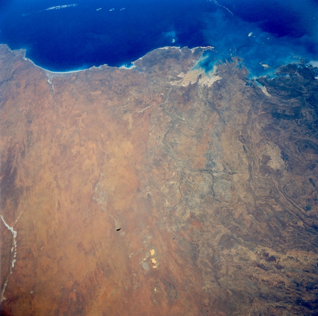
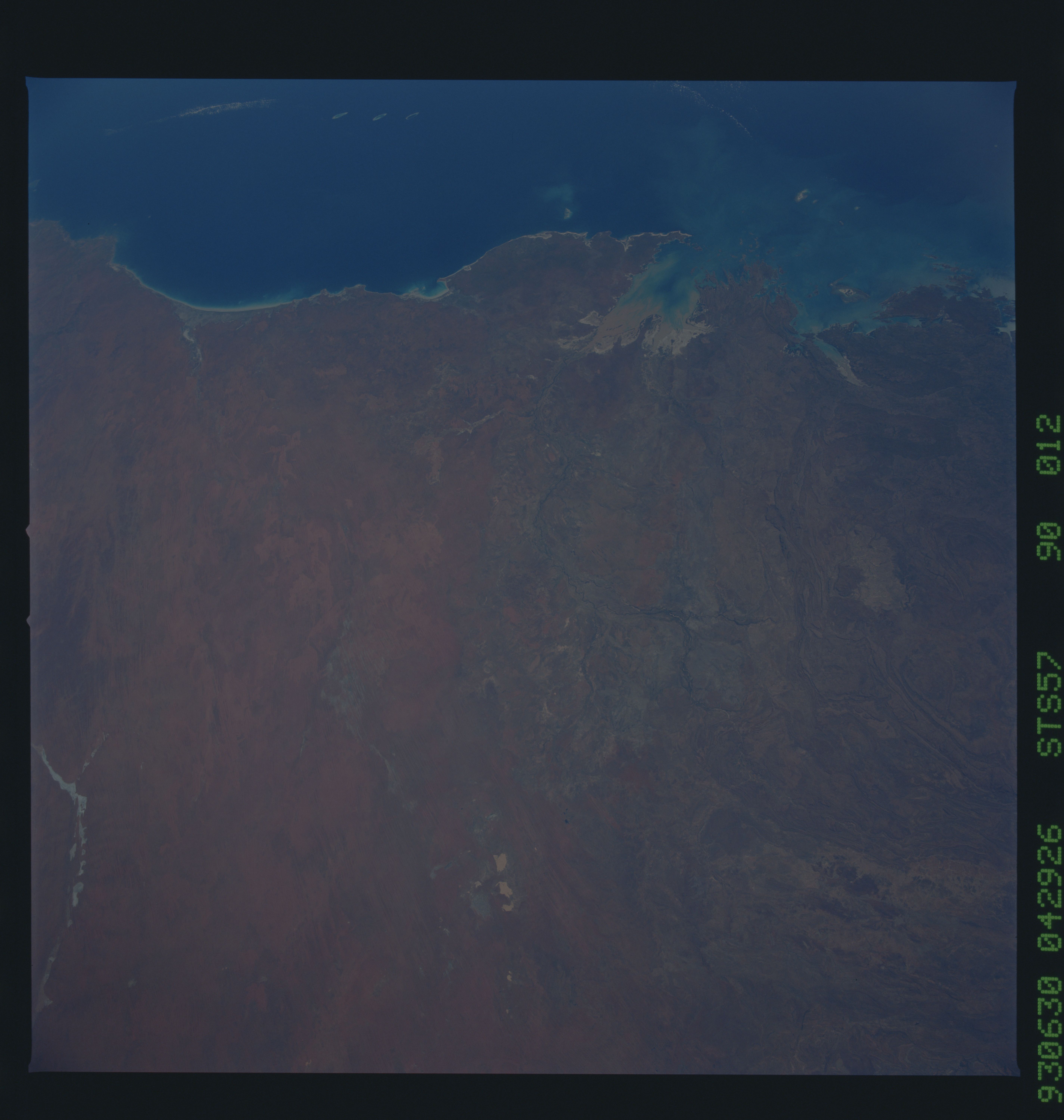
Image Caption: STS057-090-012 Great Sandy Desert, Western Australia, Australia June 1993
A large section of the Great Sandy Desert is covered in this view of northern Western Australia. The Great Sandy Desert, one of the major deserts of Australia, consists of relatively flat to rolling terrain with numerous dunefields, sandy grasslands, and sand ridges. The transition zone between the Great Sandy Desert and the low mountainous region to the northeast,, known as the Kimberley, is the zone of subtly different color and texture that extends from the coast to roughly the center of the frame. The Indian Ocean spans the upper field of view, from beyond 80 Mile Beach (left), northeastward to Collier Bay (right). King Sound is the sediment-laden bay (middle). Aboriginal reserves occupy the peninsulas flanking King Sound. Beagle Bay is a small inlet on the northwest coast of the large peninsula, known as Dampier Land, west of King Sound. The linear, light-colored feature along the left bottom of the picture is the southeastern end of the Percival Lakes. Ephemeral Lakes Betty and McLernon are the bright features at bottom center.
A large section of the Great Sandy Desert is covered in this view of northern Western Australia. The Great Sandy Desert, one of the major deserts of Australia, consists of relatively flat to rolling terrain with numerous dunefields, sandy grasslands, and sand ridges. The transition zone between the Great Sandy Desert and the low mountainous region to the northeast,, known as the Kimberley, is the zone of subtly different color and texture that extends from the coast to roughly the center of the frame. The Indian Ocean spans the upper field of view, from beyond 80 Mile Beach (left), northeastward to Collier Bay (right). King Sound is the sediment-laden bay (middle). Aboriginal reserves occupy the peninsulas flanking King Sound. Beagle Bay is a small inlet on the northwest coast of the large peninsula, known as Dampier Land, west of King Sound. The linear, light-colored feature along the left bottom of the picture is the southeastern end of the Percival Lakes. Ephemeral Lakes Betty and McLernon are the bright features at bottom center.
