STS056-79-38

| NASA Photo ID | STS056-79-38 |
| Focal Length | 100mm |
| Date taken | 1993.04.10 |
| Time taken | 06:10:18 GMT |
Resolutions offered for this image:
4032 x 4032 pixels 640 x 640 pixels 5700 x 6000 pixels 500 x 526 pixels 640 x 480 pixels
4032 x 4032 pixels 640 x 640 pixels 5700 x 6000 pixels 500 x 526 pixels 640 x 480 pixels

Cloud masks available for this image:
Spacecraft nadir point: 40.7° N, 24.6° E
Photo center point: 40.5° N, 23.5° E
Photo center point by machine learning:
Photo center point: 40.5° N, 23.5° E
Photo center point by machine learning:
Nadir to Photo Center: West
Spacecraft Altitude: 163 nautical miles (302km)
Country or Geographic Name: | GREECE |
Features: | KHALKIDHIKI PEN., LAKES |
| Features Found Using Machine Learning: | |
Cloud Cover Percentage: | 5 (1-10)% |
Sun Elevation Angle: | 25° |
Sun Azimuth: | 102° |
Camera: | Hasselblad |
Focal Length: | 100mm |
Camera Tilt: | 22 degrees |
Format: | 5017: Kodak, natural color positive, Ektachrome, X Professional, ASA 64, standard base |
Film Exposure: | Normal |
| Additional Information | |
| Width | Height | Annotated | Cropped | Purpose | Links |
|---|---|---|---|---|---|
| 4032 pixels | 4032 pixels | No | No | Earth From Space collection | Download Image |
| 640 pixels | 640 pixels | No | No | Earth From Space collection | Download Image |
| 5700 pixels | 6000 pixels | No | No | Download Image | |
| 500 pixels | 526 pixels | No | No | Download Image | |
| 640 pixels | 480 pixels | No | No | Download Image |
Download Packaged File
Download a Google Earth KML for this Image
View photo footprint information
Download a GeoTIFF for this photo
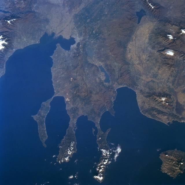
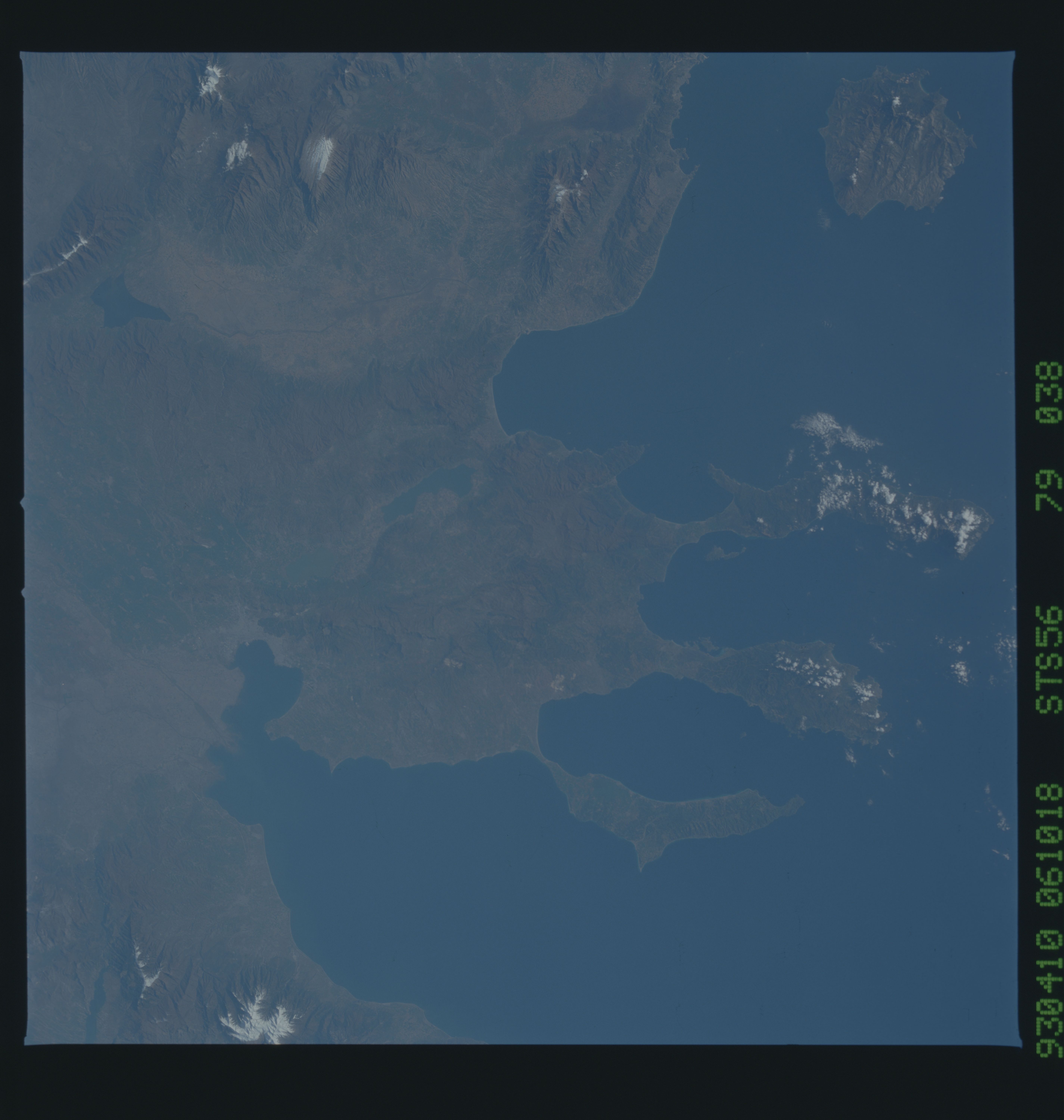
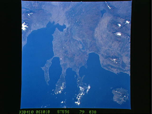
Image Caption: STS056-079-038 Chalcidice Peninsula, Greece April 1993
The rugged Chalcidice (Khalkidhiki) Peninsula of northeast Greece projects into the Aegean Sea (bottom left of image) in this west looking view. The peninsula lies between the Strymonic Gulf to the east (right) and the Gulf of Salonika to the west (left). Although the Chalcidice Peninsula is largely mountainous and dry, agricultural products include olive oil, wine, wheat, and tobacco. In ancient times, the peninsula was famous for its timber. The main peninsula terminates in three more narrow peninsulas: Acte (west), Sithonia (center), and Kassandra (east). Lake Koronia is visible near the center of the image. The smaller lake west of Lake Koronia is Lake Bolbe. Thasos Island is visible under scattered clouds at the lower right portion of the image.
The rugged Chalcidice (Khalkidhiki) Peninsula of northeast Greece projects into the Aegean Sea (bottom left of image) in this west looking view. The peninsula lies between the Strymonic Gulf to the east (right) and the Gulf of Salonika to the west (left). Although the Chalcidice Peninsula is largely mountainous and dry, agricultural products include olive oil, wine, wheat, and tobacco. In ancient times, the peninsula was famous for its timber. The main peninsula terminates in three more narrow peninsulas: Acte (west), Sithonia (center), and Kassandra (east). Lake Koronia is visible near the center of the image. The smaller lake west of Lake Koronia is Lake Bolbe. Thasos Island is visible under scattered clouds at the lower right portion of the image.
