STS056-77-58
| NASA Photo ID | STS056-77-58 |
| Focal Length | 100mm |
| Date taken | 1993.04.10 |
| Time taken | 15:17:07 GMT |
Resolutions offered for this image:
3904 x 3904 pixels 639 x 639 pixels 5700 x 6000 pixels 500 x 526 pixels 640 x 480 pixels
3904 x 3904 pixels 639 x 639 pixels 5700 x 6000 pixels 500 x 526 pixels 640 x 480 pixels
Cloud masks available for this image:
Spacecraft nadir point: 26.8° N, 99.4° W
Photo center point: 26.5° N, 98.5° W
Photo center point by machine learning:
Photo center point: 26.5° N, 98.5° W
Photo center point by machine learning:
Nadir to Photo Center: East
Spacecraft Altitude: 161 nautical miles (298km)
Country or Geographic Name: | MEXICO |
Features: | MCALLEN, AGR., FALCON RES. |
| Features Found Using Machine Learning: | |
Cloud Cover Percentage: | 0 (no clouds present) |
Sun Elevation Angle: | 39° |
Sun Azimuth: | 102° |
Camera: | Hasselblad |
Focal Length: | 100mm |
Camera Tilt: | 19 degrees |
Format: | 5017: Kodak, natural color positive, Ektachrome, X Professional, ASA 64, standard base |
Film Exposure: | Normal |
| Additional Information | |
| Width | Height | Annotated | Cropped | Purpose | Links |
|---|---|---|---|---|---|
| 3904 pixels | 3904 pixels | No | No | Earth From Space collection | Download Image |
| 639 pixels | 639 pixels | No | No | Earth From Space collection | Download Image |
| 5700 pixels | 6000 pixels | No | No | Download Image | |
| 500 pixels | 526 pixels | No | No | Download Image | |
| 640 pixels | 480 pixels | No | No | Download Image |
Download Packaged File
Download a Google Earth KML for this Image
View photo footprint information
Download a GeoTIFF for this photo
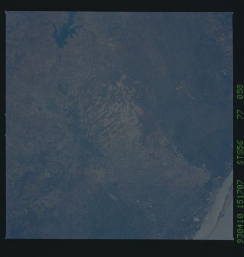
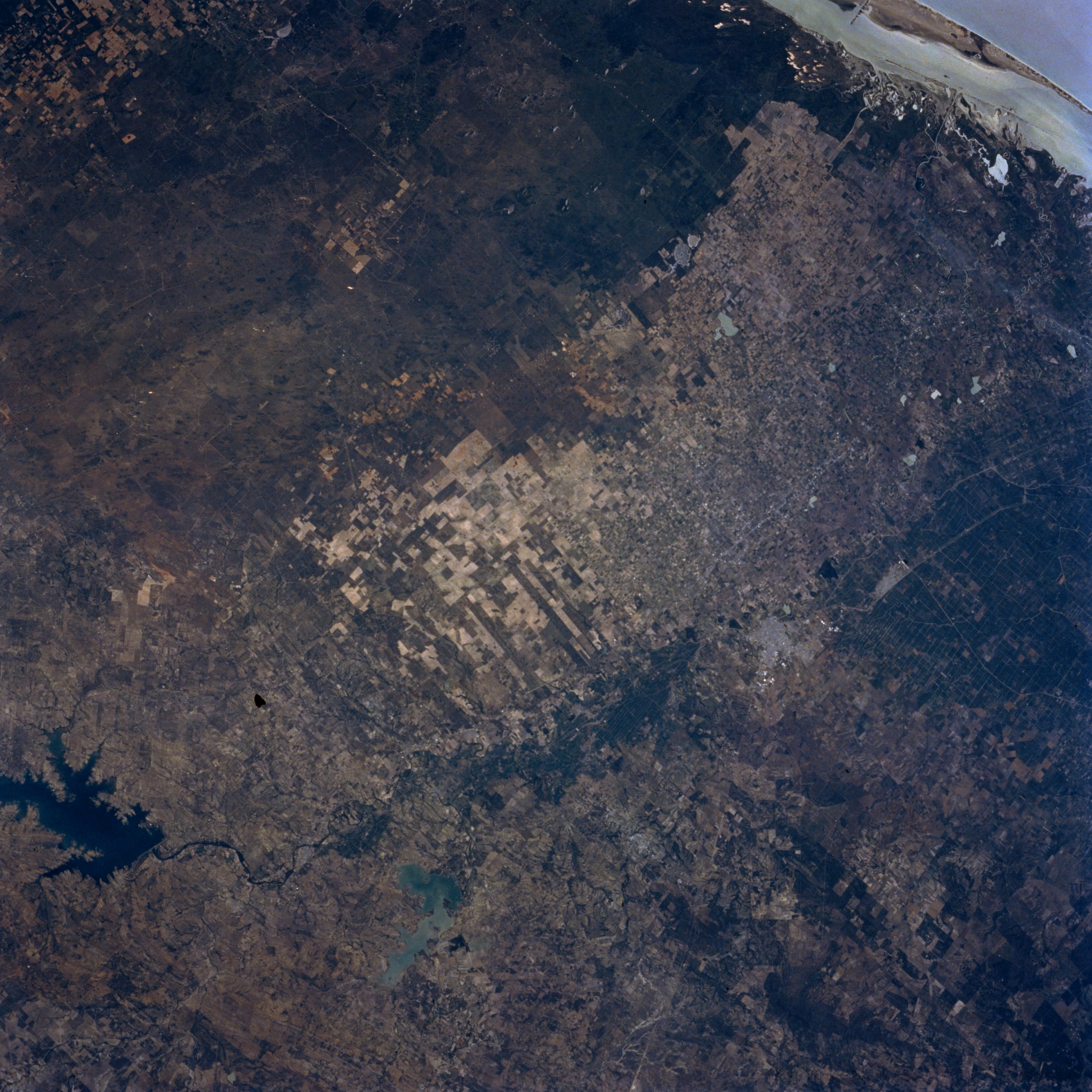
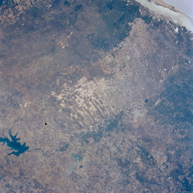
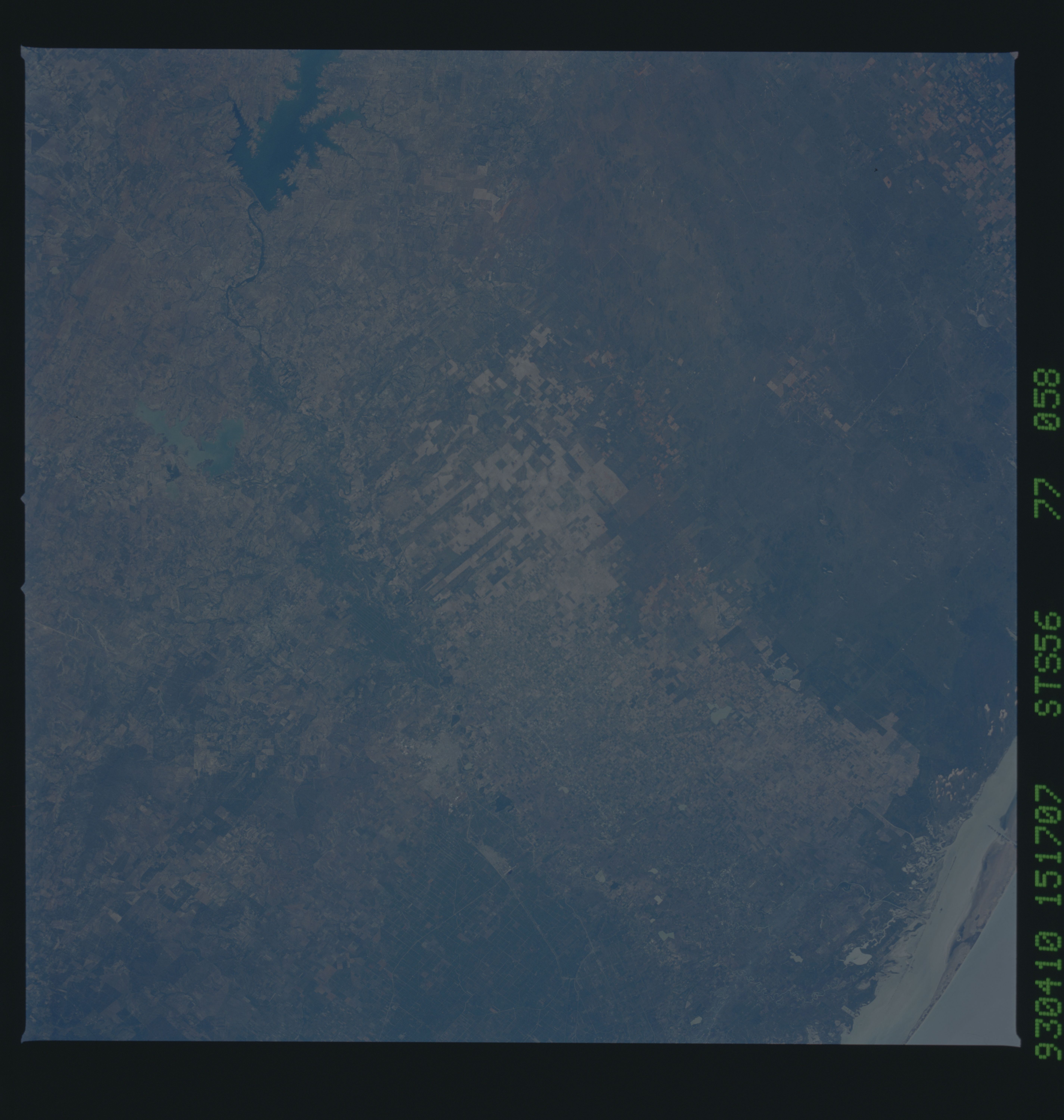
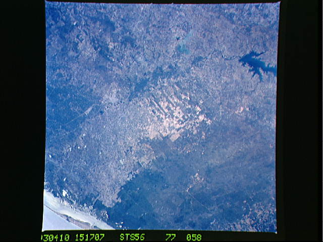
Image Caption: STS056-077-058 Lower Rio Grande Valley, Texas, U.S.A. April 1993
Featured in this photograph is the east-flowing Rio Grande as it disappears southeast of Falcon Reservoir, southeast of which is M. R. Gomez Reservoir on the Mexican side of the border. The highly reflective area on the United States side of the Rio Grande (middle of photograph) shows relatively large, rectangular cultivated fields that produce a variety of crops grown on the flat, fertile, irrigated fields on the Rio Grande floodplain and delta. The areas unsuitable for agriculture consist of dry, sandy soils; scrub trees; sparse grass; and cactus. Many sand dunes are covered by vegetation that stabilizes some of the sand. A small section of the Laguna Madre and South Padre Island are visible (upper right corner).
Featured in this photograph is the east-flowing Rio Grande as it disappears southeast of Falcon Reservoir, southeast of which is M. R. Gomez Reservoir on the Mexican side of the border. The highly reflective area on the United States side of the Rio Grande (middle of photograph) shows relatively large, rectangular cultivated fields that produce a variety of crops grown on the flat, fertile, irrigated fields on the Rio Grande floodplain and delta. The areas unsuitable for agriculture consist of dry, sandy soils; scrub trees; sparse grass; and cactus. Many sand dunes are covered by vegetation that stabilizes some of the sand. A small section of the Laguna Madre and South Padre Island are visible (upper right corner).
