STS056-77-51
| NASA Photo ID | STS056-77-51 |
| Focal Length | 100mm |
| Date taken | 1993.04.10 |
| Time taken | 15:16:09 GMT |
Resolutions offered for this image:
3904 x 3880 pixels 639 x 636 pixels 5700 x 6000 pixels 500 x 526 pixels 640 x 480 pixels
3904 x 3880 pixels 639 x 636 pixels 5700 x 6000 pixels 500 x 526 pixels 640 x 480 pixels
Cloud masks available for this image:
Spacecraft nadir point: 29.8° N, 101.8° W
Photo center point: 30.0° N, 101.5° W
Photo center point by machine learning:
Photo center point: 30.0° N, 101.5° W
Photo center point by machine learning:
Nadir to Photo Center: Northeast
Spacecraft Altitude: 161 nautical miles (298km)
Country or Geographic Name: | USA-TEXAS |
Features: | AMISTAD RES., PECOS RIVER |
| Features Found Using Machine Learning: | |
Cloud Cover Percentage: | 0 (no clouds present) |
Sun Elevation Angle: | 36° |
Sun Azimuth: | 102° |
Camera: | Hasselblad |
Focal Length: | 100mm |
Camera Tilt: | 8 degrees |
Format: | 5017: Kodak, natural color positive, Ektachrome, X Professional, ASA 64, standard base |
Film Exposure: | Normal |
| Additional Information | |
| Width | Height | Annotated | Cropped | Purpose | Links |
|---|---|---|---|---|---|
| 3904 pixels | 3880 pixels | No | No | Earth From Space collection | Download Image |
| 639 pixels | 636 pixels | No | No | Earth From Space collection | Download Image |
| 5700 pixels | 6000 pixels | No | No | Download Image | |
| 500 pixels | 526 pixels | No | No | Download Image | |
| 640 pixels | 480 pixels | No | No | Download Image |
Download Packaged File
Download a Google Earth KML for this Image
View photo footprint information
Download a GeoTIFF for this photo
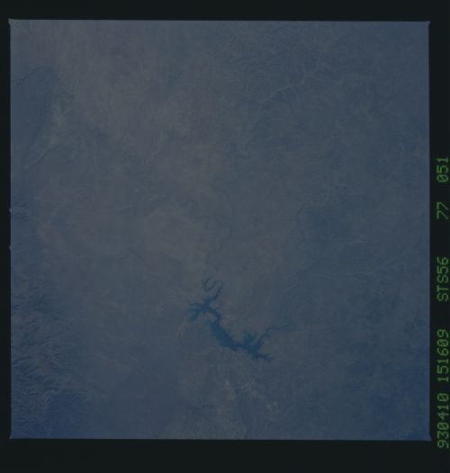
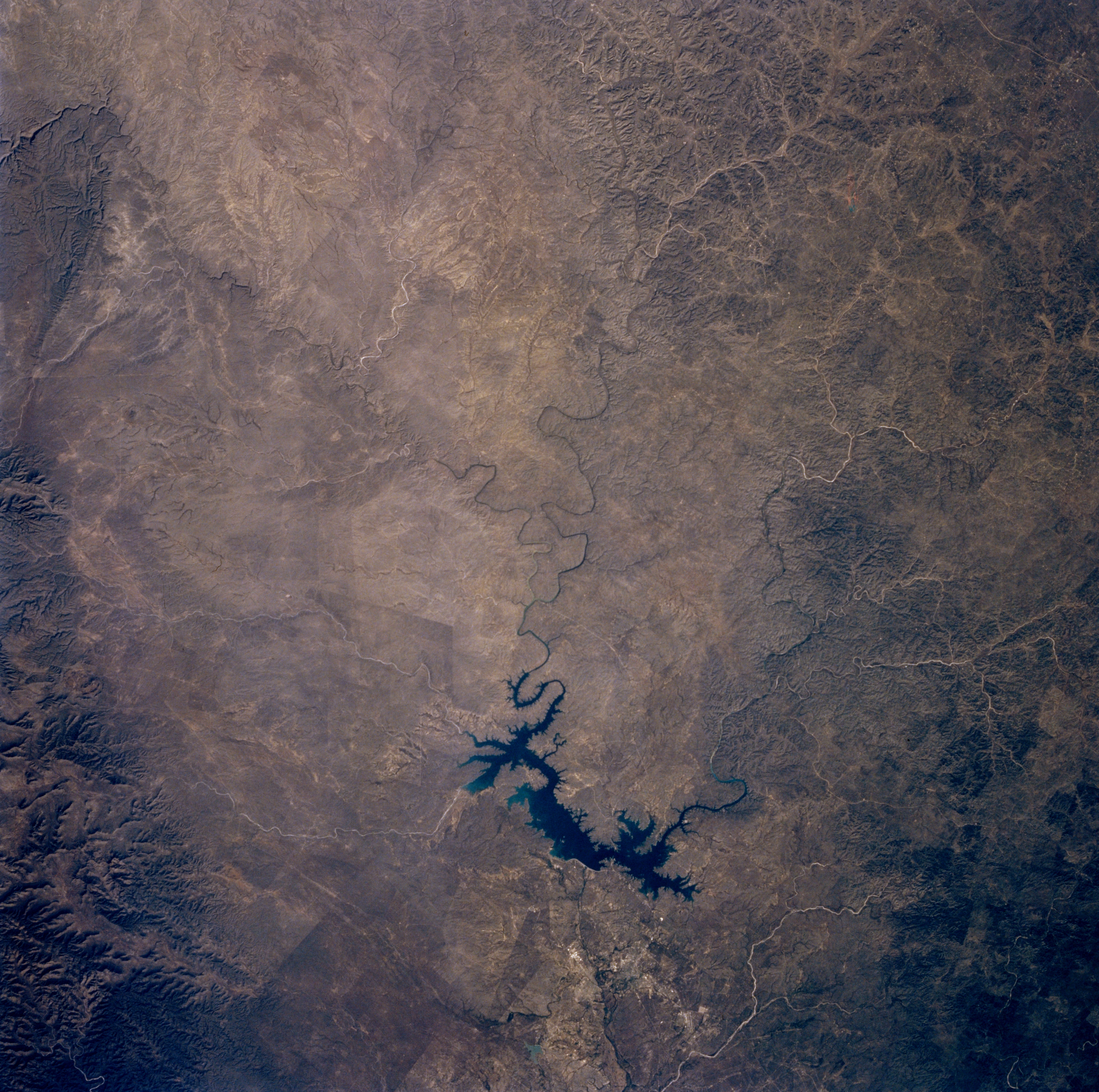
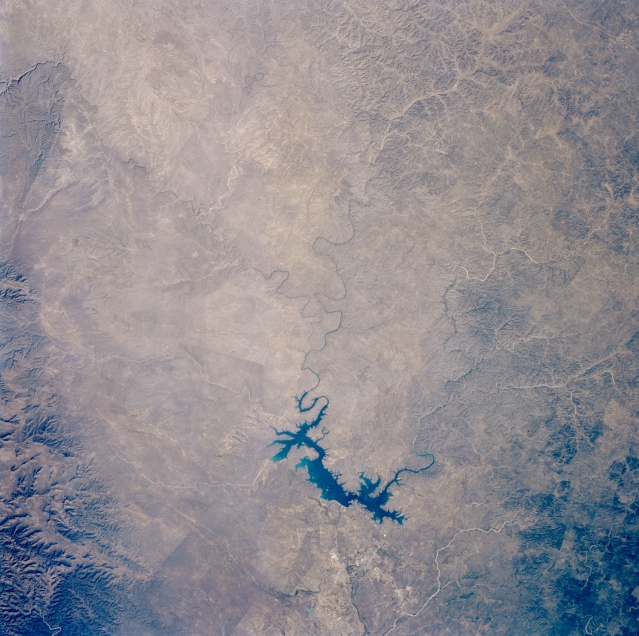
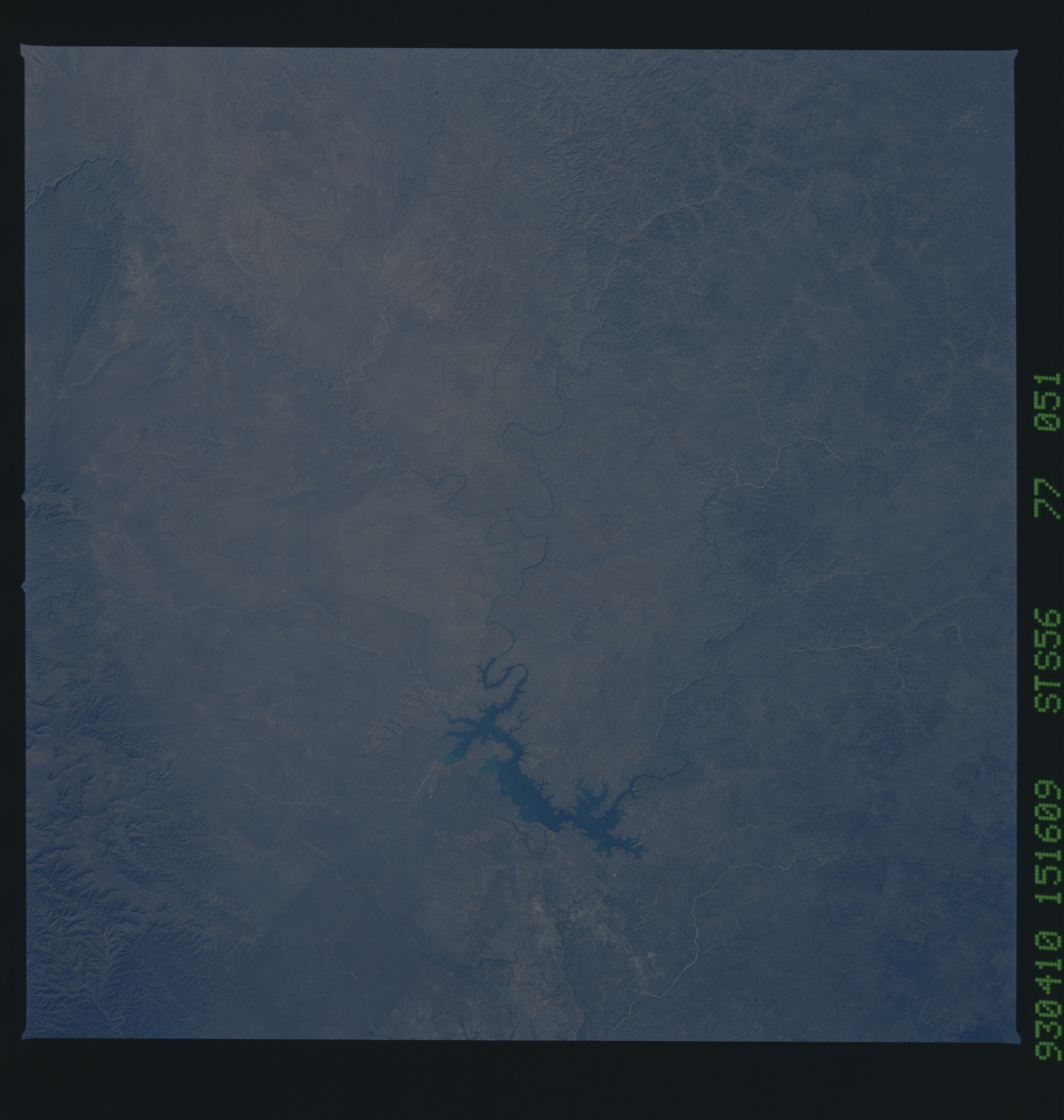
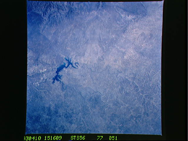
Image Caption: STS056-077-051 International Amistad Reservoir, Texas, U.S.A. April 1993
Serpentine International Amistad Reservoir, part of the Amistad National Recreation Area, receives water from three meandering rivers--Rio Grande; Pecos, which enters the Rio Grande west of the reservoir; and Devils to the east. Steep canyons have been created by erosion of the Pecos River and Devils River. Along the Rio Grande near Del Rio (not discernible), ground surface is composed of limestone and white beds of caliche. Most of the landscape north of the Rio Grande forms the western edge of the Edwards Plateau, with vegetation consisting primarily of grass prairies and oak, cedar, and mesquite woodlands. Foothills of the Serranias del Burro (a small mountain range in Mexico) are visible (lower left corner).
Serpentine International Amistad Reservoir, part of the Amistad National Recreation Area, receives water from three meandering rivers--Rio Grande; Pecos, which enters the Rio Grande west of the reservoir; and Devils to the east. Steep canyons have been created by erosion of the Pecos River and Devils River. Along the Rio Grande near Del Rio (not discernible), ground surface is composed of limestone and white beds of caliche. Most of the landscape north of the Rio Grande forms the western edge of the Edwards Plateau, with vegetation consisting primarily of grass prairies and oak, cedar, and mesquite woodlands. Foothills of the Serranias del Burro (a small mountain range in Mexico) are visible (lower left corner).
