STS056-77-38
| NASA Photo ID | STS056-77-38 |
| Focal Length | 100mm |
| Date taken | 1993.04.10 |
| Time taken | 15:14:53 GMT |
Resolutions offered for this image:
3904 x 3880 pixels 639 x 636 pixels 5700 x 6000 pixels 500 x 526 pixels 640 x 480 pixels
3904 x 3880 pixels 639 x 636 pixels 5700 x 6000 pixels 500 x 526 pixels 640 x 480 pixels

Cloud masks available for this image:
Spacecraft nadir point: 33.7° N, 105.3° W
Photo center point: 33.5° N, 105.5° W
Photo center point by machine learning:
Photo center point: 33.5° N, 105.5° W
Photo center point by machine learning:
Nadir to Photo Center: Southwest
Spacecraft Altitude: 162 nautical miles (300km)
Country or Geographic Name: | USA-NEW MEXICO |
Features: | SIERRA BLANCA |
| Features Found Using Machine Learning: | |
Cloud Cover Percentage: | 0 (no clouds present) |
Sun Elevation Angle: | 32° |
Sun Azimuth: | 102° |
Camera: | Hasselblad |
Focal Length: | 100mm |
Camera Tilt: | 6 degrees |
Format: | 5017: Kodak, natural color positive, Ektachrome, X Professional, ASA 64, standard base |
Film Exposure: | Normal |
| Additional Information | |
| Width | Height | Annotated | Cropped | Purpose | Links |
|---|---|---|---|---|---|
| 3904 pixels | 3880 pixels | No | No | Earth From Space collection | Download Image |
| 639 pixels | 636 pixels | No | No | Earth From Space collection | Download Image |
| 5700 pixels | 6000 pixels | No | No | Download Image | |
| 500 pixels | 526 pixels | No | No | Download Image | |
| 640 pixels | 480 pixels | No | No | Download Image |
Download Packaged File
Download a Google Earth KML for this Image
View photo footprint information
Download a GeoTIFF for this photo
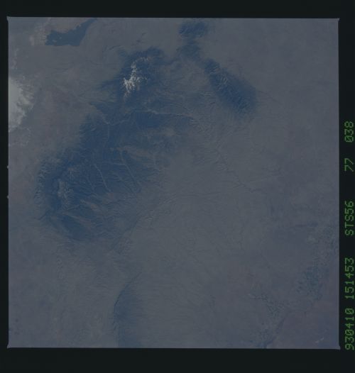
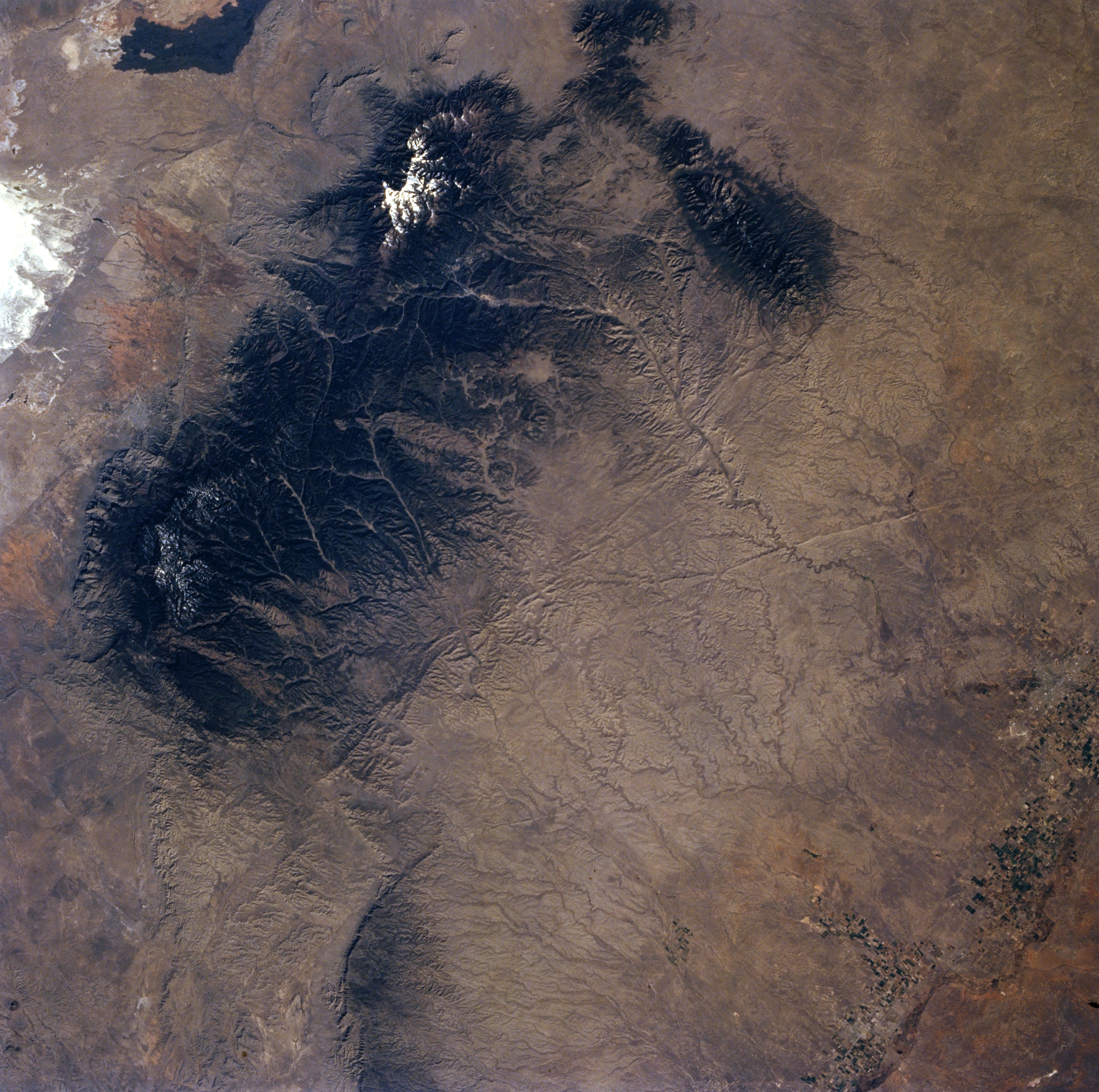
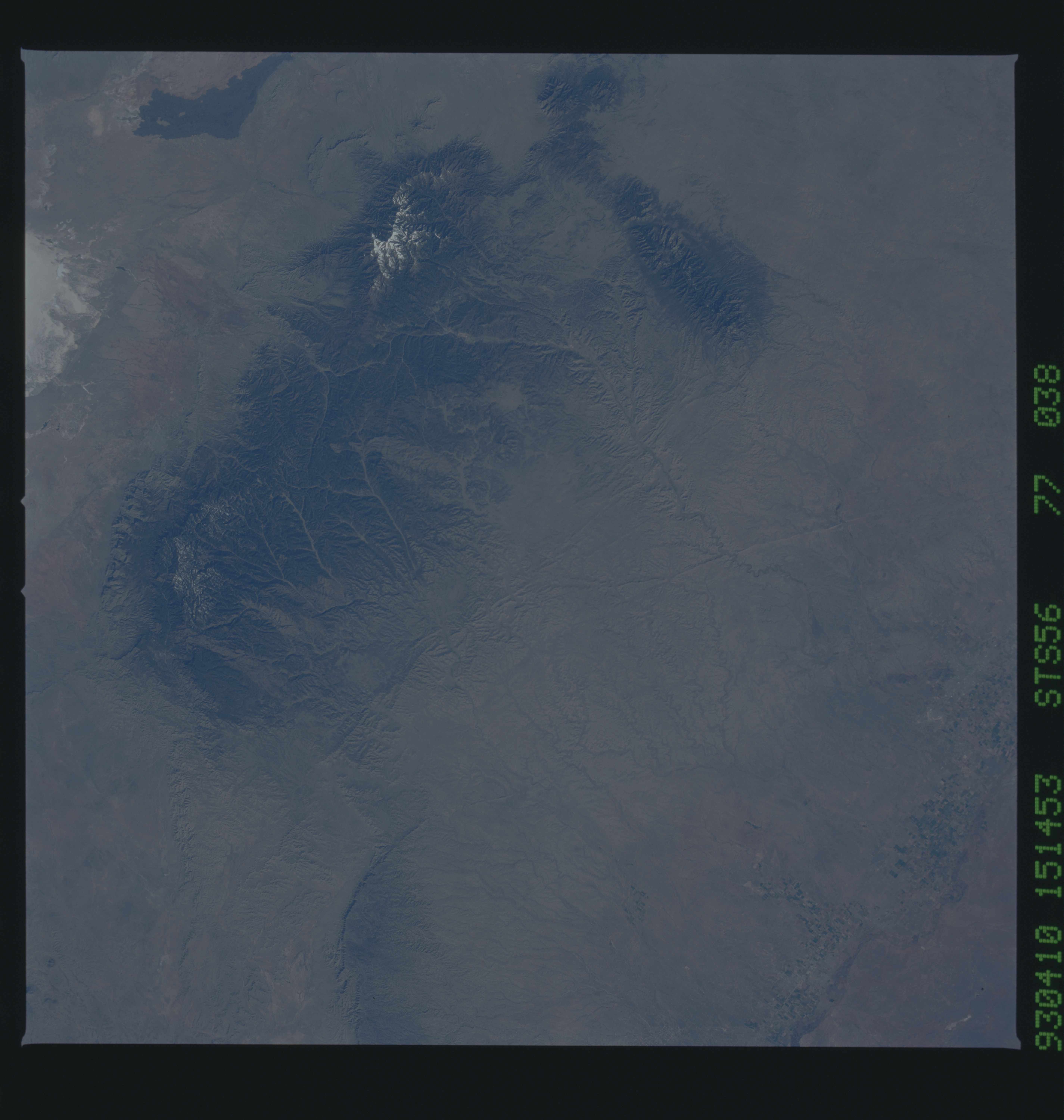
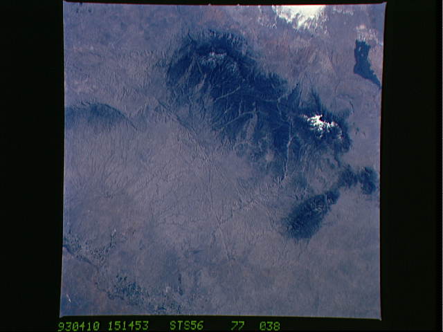
Image Caption: STS056-077-038 Sacramento Mountains, New Mexico, U.S.A. April 1993
The heavily forested Sacramento, Sierra Blanca, and Capitan Mountains of south-central New Mexico show a series of deeply incised drainage features fanning out in all directions from higher elevations, the most prominent being created by the Hondo River flowing eastward toward the Pecos River Valley. Most of the streams in this semiarid region are intermittently flowing to the east. Subsurface limestone aquifers also transport ground water eastward. The mottled feature (lower right corner) indicates irrigation farming in the Pecos River Valley using artesian water that is transported from the mountains to the west. Visible is the northeast tip of the highly reflective White Sands National Monument, the world's largest gypsum field.
The heavily forested Sacramento, Sierra Blanca, and Capitan Mountains of south-central New Mexico show a series of deeply incised drainage features fanning out in all directions from higher elevations, the most prominent being created by the Hondo River flowing eastward toward the Pecos River Valley. Most of the streams in this semiarid region are intermittently flowing to the east. Subsurface limestone aquifers also transport ground water eastward. The mottled feature (lower right corner) indicates irrigation farming in the Pecos River Valley using artesian water that is transported from the mountains to the west. Visible is the northeast tip of the highly reflective White Sands National Monument, the world's largest gypsum field.
