STS056-77-35
| NASA Photo ID | STS056-77-35 |
| Focal Length | 100mm |
| Date taken | 1993.04.10 |
| Time taken | 15:14:43 GMT |
Resolutions offered for this image:
3904 x 3880 pixels 639 x 636 pixels 5700 x 6000 pixels 500 x 526 pixels 640 x 480 pixels
3904 x 3880 pixels 639 x 636 pixels 5700 x 6000 pixels 500 x 526 pixels 640 x 480 pixels


Cloud masks available for this image:
Spacecraft nadir point: 34.2° N, 105.8° W
Photo center point: 34.5° N, 106.0° W
Photo center point by machine learning:
Photo center point: 34.5° N, 106.0° W
Photo center point by machine learning:
Nadir to Photo Center: Northwest
Spacecraft Altitude: 162 nautical miles (300km)
Country or Geographic Name: | USA-NEW MEXICO |
Features: | SALT FLATS E. OF SANDIA |
| Features Found Using Machine Learning: | |
Cloud Cover Percentage: | 0 (no clouds present) |
Sun Elevation Angle: | 31° |
Sun Azimuth: | 102° |
Camera: | Hasselblad |
Focal Length: | 100mm |
Camera Tilt: | 8 degrees |
Format: | 5017: Kodak, natural color positive, Ektachrome, X Professional, ASA 64, standard base |
Film Exposure: | Normal |
| Additional Information | |
| Width | Height | Annotated | Cropped | Purpose | Links |
|---|---|---|---|---|---|
| 3904 pixels | 3880 pixels | No | No | Earth From Space collection | Download Image |
| 639 pixels | 636 pixels | No | No | Earth From Space collection | Download Image |
| 5700 pixels | 6000 pixels | No | No | Download Image | |
| 500 pixels | 526 pixels | No | No | Download Image | |
| 640 pixels | 480 pixels | No | No | Download Image |
Download Packaged File
Download a Google Earth KML for this Image
View photo footprint information
Download a GeoTIFF for this photo
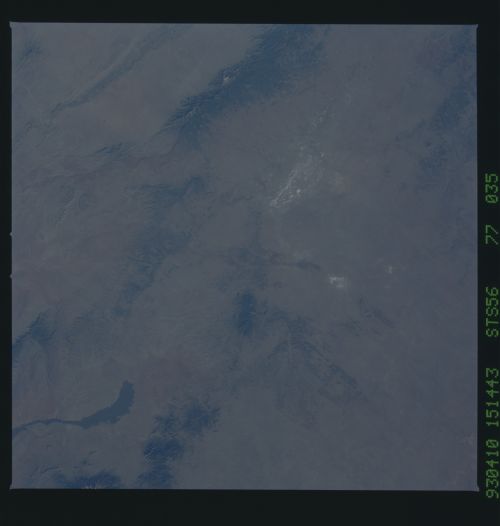
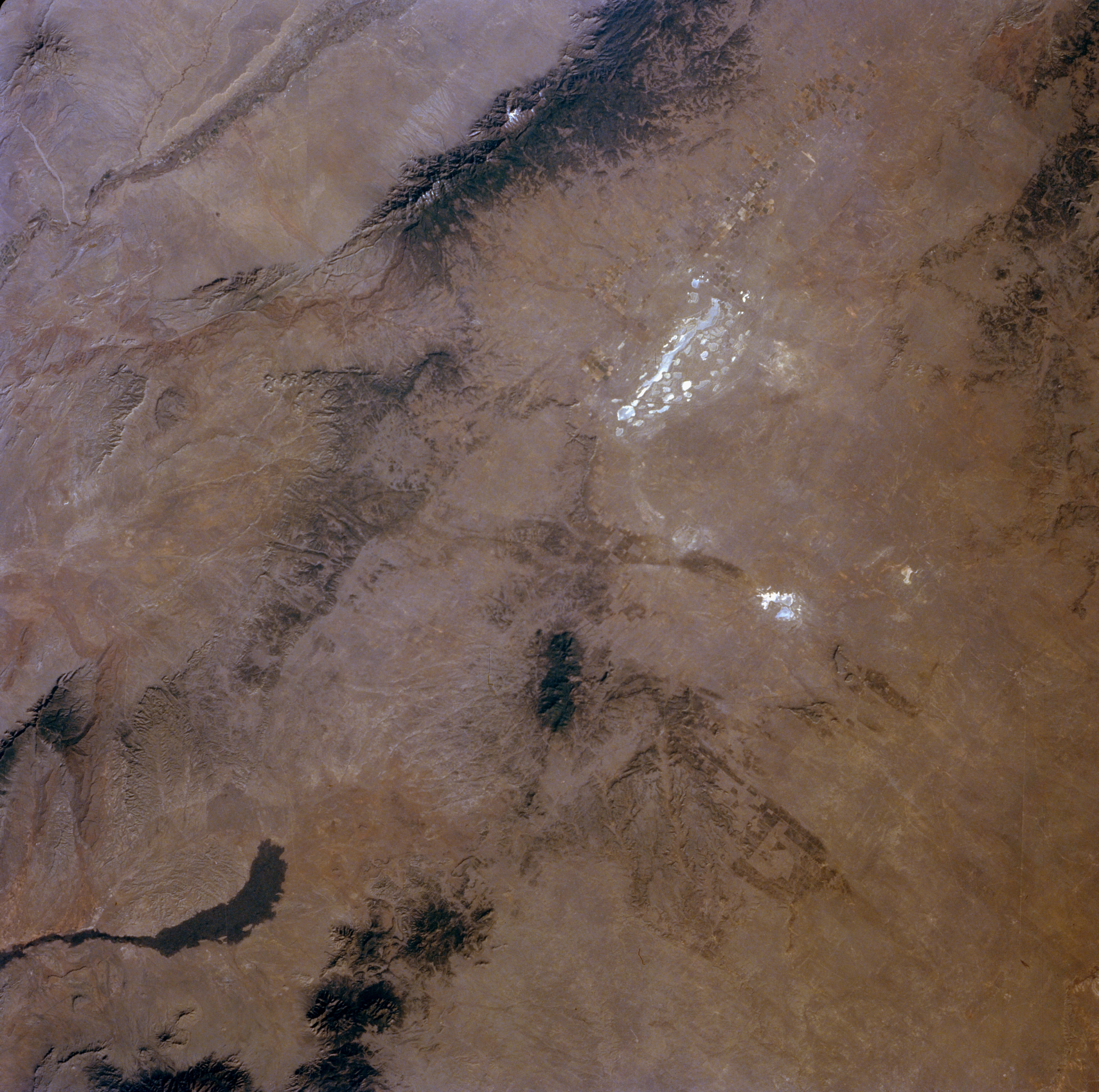
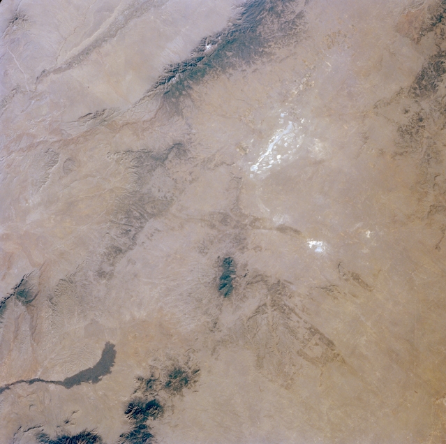
Image Caption: STS056-077-035 Estancia Basin, Central New Mexico, U.S.A. April 1993
The highly reflective dry lakes of Laguna del Perro in the geographic center of New Mexico are apparent in this northwest-looking photograph. Lying between sand dune ridges, these salt lakes are part of the larger Estancia Basin, which is made up of sand hills and old sand dunes. The dark Gallinas Mountains, with Gallinas Peak reaching 8637 feet (2633 meters), lie to the south of Laguna del Perro. Part of the north-south-aligned Manzano Mountains, with Manzano Peak reaching 10 089 feet (3078 meters), is visible (top center of the photograph). The northern extension of a dark, ribbonlike lava flow is apparent to the south.
The highly reflective dry lakes of Laguna del Perro in the geographic center of New Mexico are apparent in this northwest-looking photograph. Lying between sand dune ridges, these salt lakes are part of the larger Estancia Basin, which is made up of sand hills and old sand dunes. The dark Gallinas Mountains, with Gallinas Peak reaching 8637 feet (2633 meters), lie to the south of Laguna del Perro. Part of the north-south-aligned Manzano Mountains, with Manzano Peak reaching 10 089 feet (3078 meters), is visible (top center of the photograph). The northern extension of a dark, ribbonlike lava flow is apparent to the south.
