STS055-72-77

| NASA Photo ID | STS055-72-77 |
| Focal Length | 100mm |
| Date taken | 1993.04.27 |
| Time taken | 13:27:44 GMT |
Cloud masks available for this image:
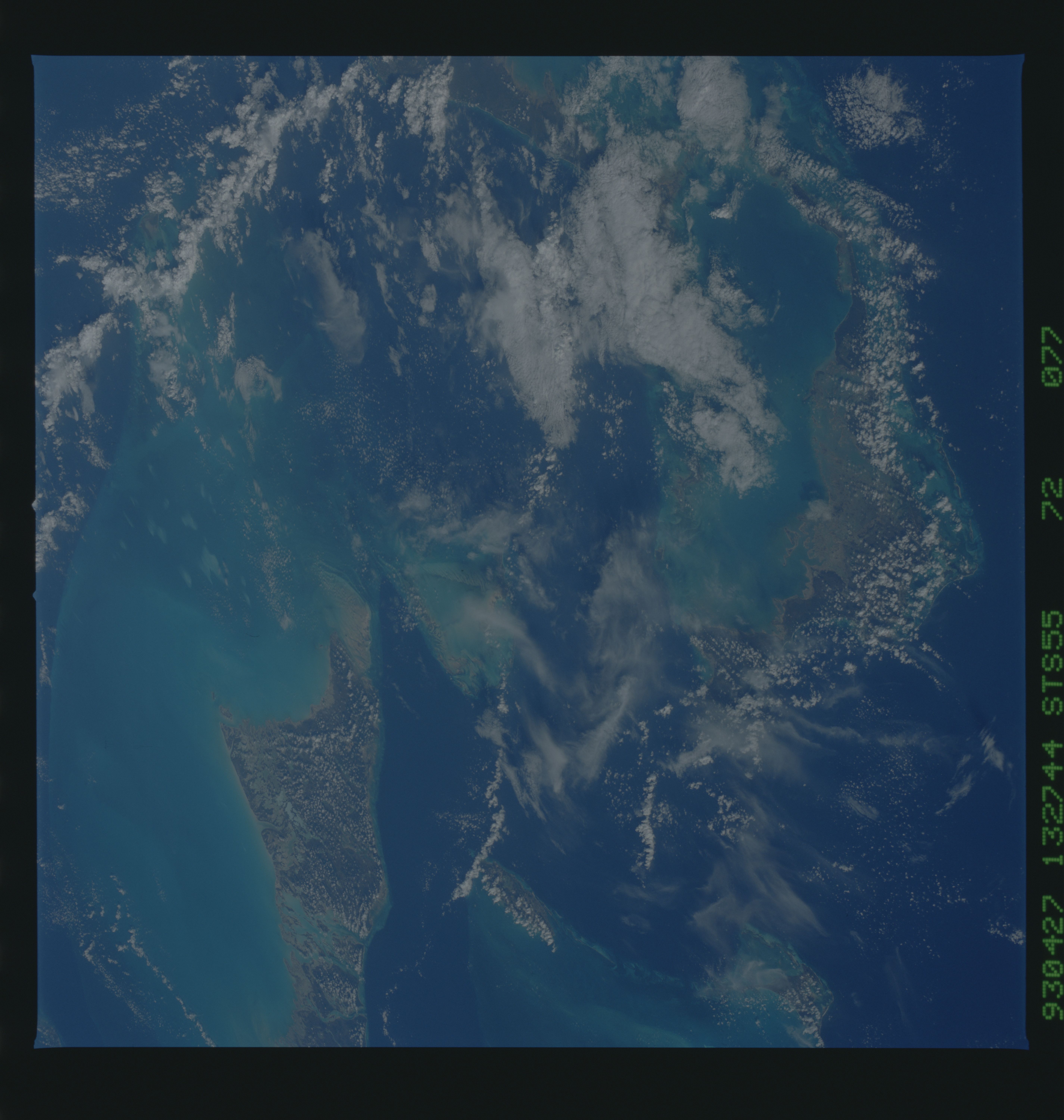
Spacecraft nadir point: 28.1° N, 76.4° W
Photo center point: 26.0° N, 78.0° W
Photo center point by machine learning:
Photo center point: 26.0° N, 78.0° W
Photo center point by machine learning:
Nadir to Photo Center: Southwest
Spacecraft Altitude: 163 nautical miles (302km)
Country or Geographic Name: | BAHAMAS |
Features: | ANDROS I., GREAT ABACO I. |
| Features Found Using Machine Learning: | |
Cloud Cover Percentage: | 20 (11-25)% |
Sun Elevation Angle: | 38° |
Sun Azimuth: | 94° |
Camera: | Hasselblad |
Focal Length: | 100mm |
Camera Tilt: | 44 degrees |
Format: | 5017: Kodak, natural color positive, Ektachrome, X Professional, ASA 64, standard base |
Film Exposure: | Normal |
| Additional Information | |
| Width | Height | Annotated | Cropped | Purpose | Links |
|---|---|---|---|---|---|
| 5700 pixels | 6000 pixels | No | No | Download Image | |
| 500 pixels | 526 pixels | No | No | Download Image | |
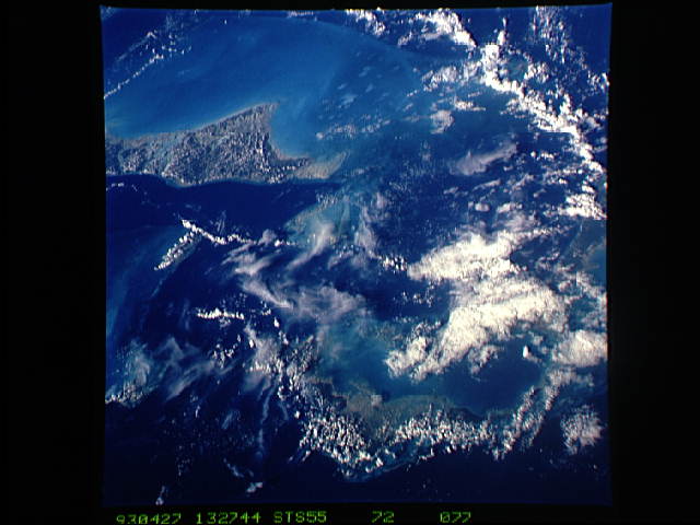
| 640 pixels | 480 pixels | No | No | Download Image |
Download Packaged File
Download a Google Earth KML for this Image
View photo footprint information
Download a GeoTIFF for this photo
Image Caption: Whitings in the Waters of the Bahama Banks. In this south-looking view of the Bahamas, we can see many small white smears in the lagoon northeast of the northernmost island, Grand Bahama. These white smears dotting the shallow waters of the Little Bahama Bank are called whitings. There are about 50 of them in this lagoon, each 2-4 km long. Several larger whitings can be seen off the northwest coast of Andros Island, the largest of the Bahamian islands, in the shallow waters of Great Bahama Bank. The largest of these whitings is 10-12 km long and covers an area of more than 100 sq. km. Whitings are areas in the water where CaCO3 in the form of aragonite is thought to be precipitating directly from the water column. Also see STS055-72-75.
