STS052-94-75
| NASA Photo ID | STS052-94-75 |
| Focal Length | 250mm |
| Date taken | 1992.10.28 |
| Time taken | 22:11:34 GMT |
Resolutions offered for this image:
3904 x 3868 pixels 639 x 634 pixels 5700 x 6000 pixels 500 x 526 pixels 640 x 480 pixels
3904 x 3868 pixels 639 x 634 pixels 5700 x 6000 pixels 500 x 526 pixels 640 x 480 pixels

Cloud masks available for this image:
Spacecraft nadir point: 20.7° N, 160.3° W
Photo center point: 22.0° N, 160.0° W
Photo center point by machine learning:
Photo center point: 22.0° N, 160.0° W
Photo center point by machine learning:
Nadir to Photo Center: North
Spacecraft Altitude: 157 nautical miles (291km)
Country or Geographic Name: | USA-HAWAII |
Features: | NIIHAU |
| Features Found Using Machine Learning: | |
Cloud Cover Percentage: | 0 (no clouds present) |
Sun Elevation Angle: | 56° |
Sun Azimuth: | 174° |
Camera: | Hasselblad |
Focal Length: | 250mm |
Camera Tilt: | 27 degrees |
Format: | 2443: Kodak Aerochrome 2443, color IR, thin base, EA-5 process thru June 1999, E-6 process afterward |
Film Exposure: | Normal |
| Additional Information | |
| Width | Height | Annotated | Cropped | Purpose | Links |
|---|---|---|---|---|---|
| 3904 pixels | 3868 pixels | No | No | Earth From Space collection | Download Image |
| 639 pixels | 634 pixels | No | No | Earth From Space collection | Download Image |
| 5700 pixels | 6000 pixels | No | No | Download Image | |
| 500 pixels | 526 pixels | No | No | Download Image | |
| 640 pixels | 480 pixels | No | No | Download Image |
Download Packaged File
Download a Google Earth KML for this Image
View photo footprint information
Download a GeoTIFF for this photo
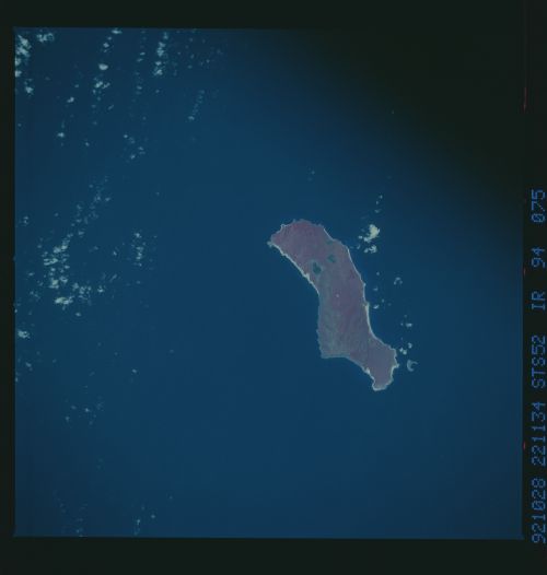
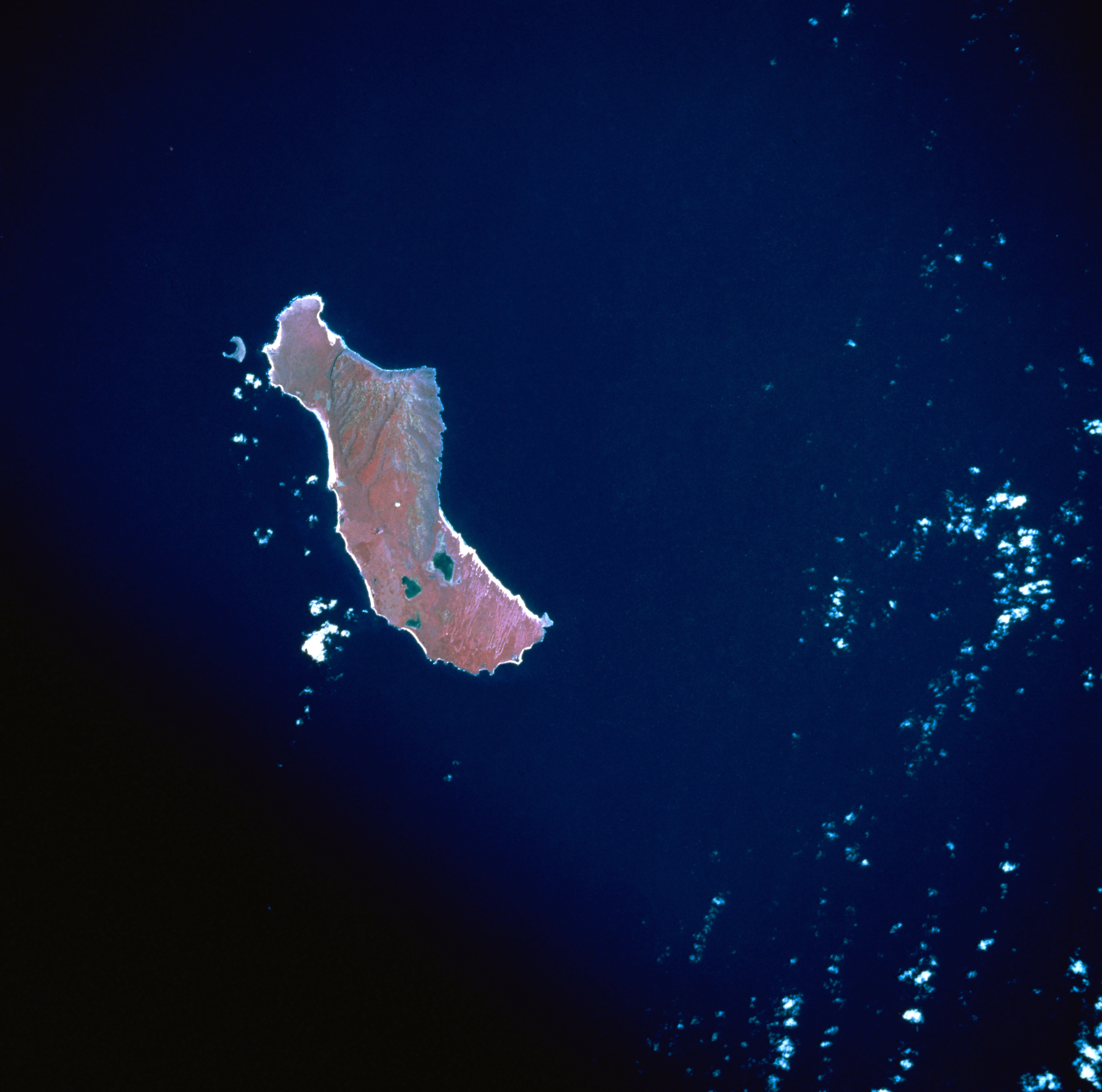
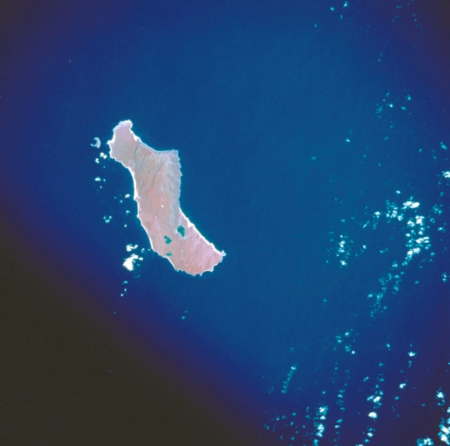
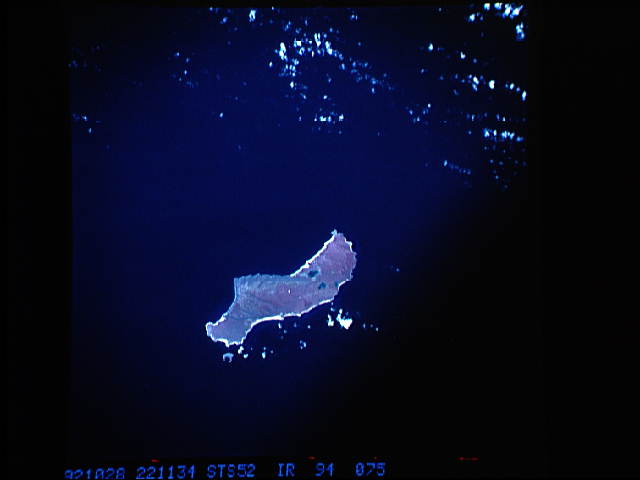
Image Caption: STS052-094-075 Niihau, Hawaii, U.S.A. October 1992
Niihau, part tableland and part low coral formation, has its highest elevation, 1281 feet (390 meters), along the eastern side of the island. Infrared film, on which green vegetation is portrayed in shades of red, indicates a considerable amount of vegetation throughout the island. Two lakes appear in the southern third of the island. Kaulakahi Channel separates Niihau from the western side of Kauai.
Niihau, part tableland and part low coral formation, has its highest elevation, 1281 feet (390 meters), along the eastern side of the island. Infrared film, on which green vegetation is portrayed in shades of red, indicates a considerable amount of vegetation throughout the island. Two lakes appear in the southern third of the island. Kaulakahi Channel separates Niihau from the western side of Kauai.
