STS052-82-7
| NASA Photo ID | STS052-82-7 |
| Focal Length | 50mm |
| Date taken | 1992.10.25 |
| Time taken | 11:33:50 GMT |
Resolutions offered for this image:
5266 x 5266 pixels 639 x 639 pixels 5700 x 6000 pixels 500 x 526 pixels 640 x 480 pixels
5266 x 5266 pixels 639 x 639 pixels 5700 x 6000 pixels 500 x 526 pixels 640 x 480 pixels

Cloud masks available for this image:
Spacecraft nadir point: 22.0° N, 24.5° E
Photo center point: 19.0° N, 15.0° E
Photo center point by machine learning:
Photo center point: 19.0° N, 15.0° E
Photo center point by machine learning:
Nadir to Photo Center: West
Spacecraft Altitude: 157 nautical miles (291km)
Country or Geographic Name: | NIGER |
Features: | GRAND ERG OF BILMA |
| Features Found Using Machine Learning: | |
Cloud Cover Percentage: | 0 (no clouds present) |
Sun Elevation Angle: | 50° |
Sun Azimuth: | 214° |
Camera: | Hasselblad |
Focal Length: | 50mm |
Camera Tilt: | High Oblique |
Format: | 5017: Kodak, natural color positive, Ektachrome, X Professional, ASA 64, standard base |
Film Exposure: | Normal |
| Additional Information | |
| Width | Height | Annotated | Cropped | Purpose | Links |
|---|---|---|---|---|---|
| 5266 pixels | 5266 pixels | No | No | Earth From Space collection | Download Image |
| 639 pixels | 639 pixels | No | No | Earth From Space collection | Download Image |
| 5700 pixels | 6000 pixels | No | No | Download Image | |
| 500 pixels | 526 pixels | No | No | Download Image | |
| 640 pixels | 480 pixels | No | No | Download Image |
Download Packaged File
Download a Google Earth KML for this Image
View photo footprint information
Download a GeoTIFF for this photo
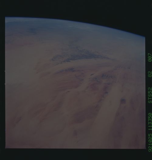
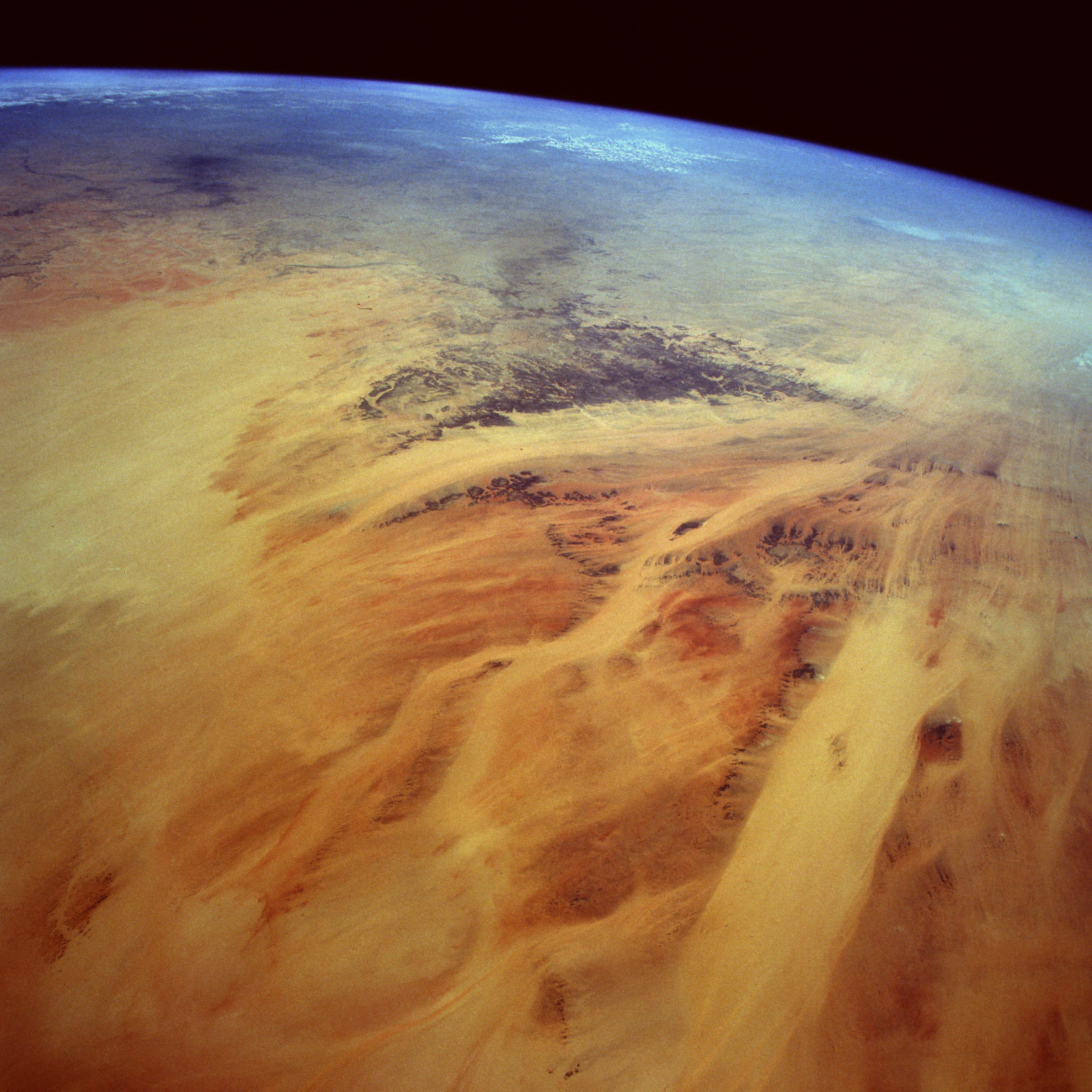
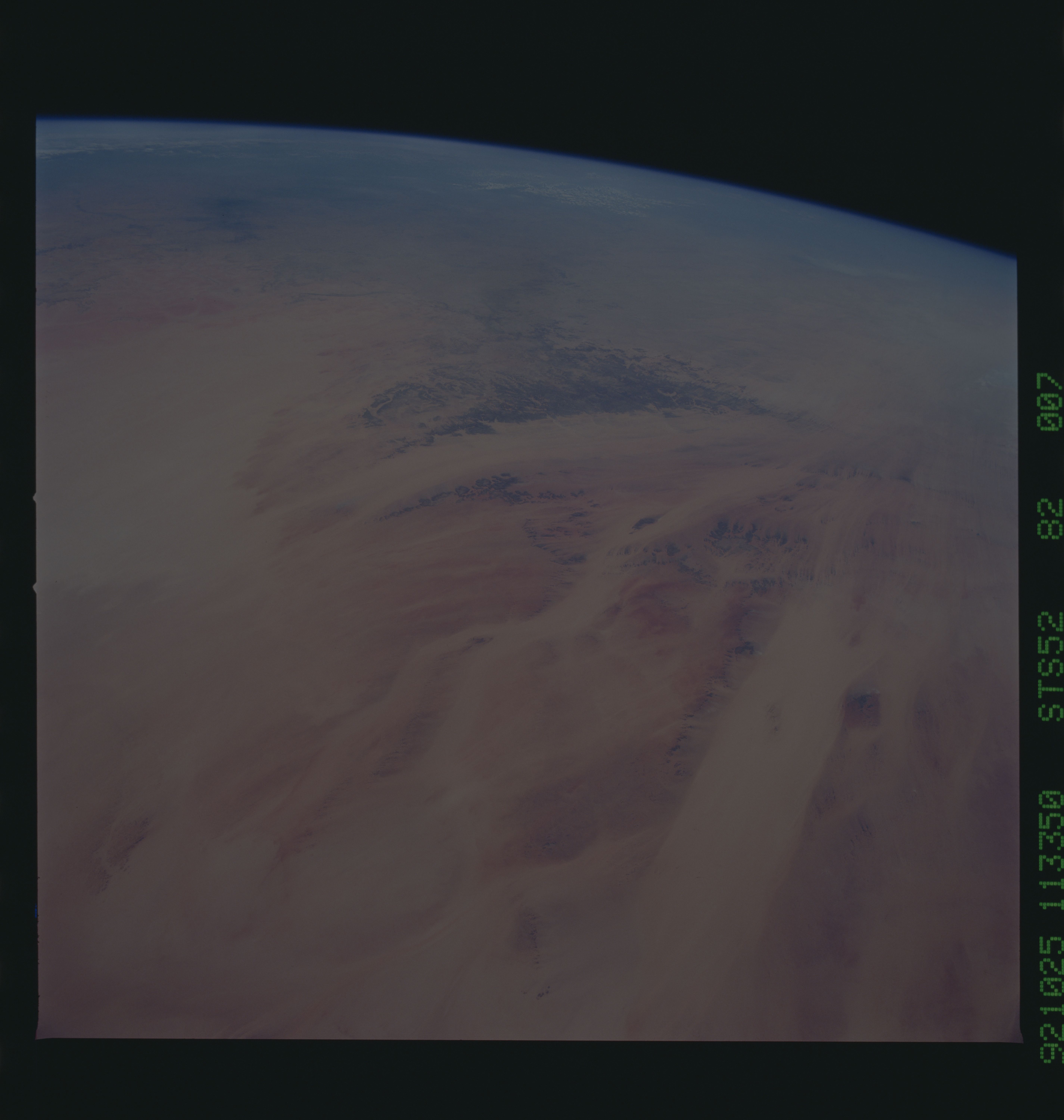
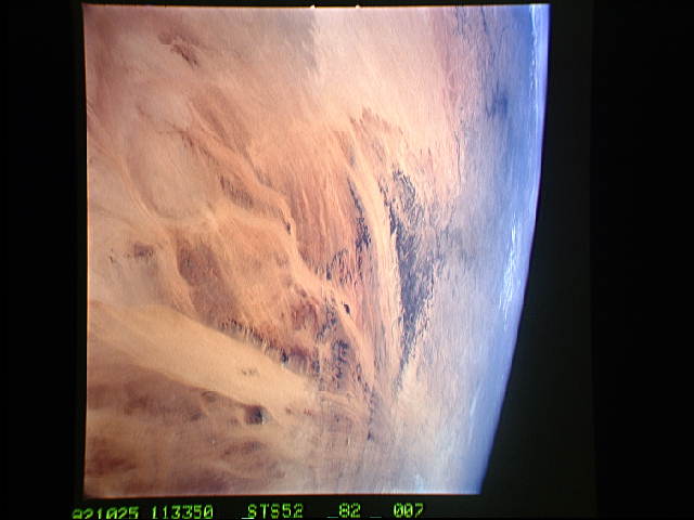
Image Caption: STS052-082-007 Sandy Desert, Eastern Chad October 1992
The scene displayed in this high-oblique, southeast-looking photograph, which points toward the Ennedi Plateau (darker structure toward the horizon) of eastern Chad, is part of the great Sahara Desert. This photograph shows vast quantities of sand and several major corridors where sand continually moves across a landscape that has little or no vegetation. The only impediments to the sand, which is moved by the prevailing northeasterly winds, are the darker, fragmented remnants of resistant sandstone rock outcrops. The reds, yellows, and oranges identify the various sand colors in the region. The somewhat linear, uniform bands are depressions where massive deposits of sand have accumulated. It is through these "sand valleys" that much of the blowing sand is channeled during sandstorms. This photograph helps explain why this hostile environment does not promote the establishment of permanent human settlements.
The scene displayed in this high-oblique, southeast-looking photograph, which points toward the Ennedi Plateau (darker structure toward the horizon) of eastern Chad, is part of the great Sahara Desert. This photograph shows vast quantities of sand and several major corridors where sand continually moves across a landscape that has little or no vegetation. The only impediments to the sand, which is moved by the prevailing northeasterly winds, are the darker, fragmented remnants of resistant sandstone rock outcrops. The reds, yellows, and oranges identify the various sand colors in the region. The somewhat linear, uniform bands are depressions where massive deposits of sand have accumulated. It is through these "sand valleys" that much of the blowing sand is channeled during sandstorms. This photograph helps explain why this hostile environment does not promote the establishment of permanent human settlements.
