STS052-153-65
| NASA Photo ID | STS052-153-65 |
| Focal Length | 90mm |
| Date taken | 1992.10.25 |
| Time taken | 17:30:38 GMT |
Resolutions offered for this image:
4000 x 5036 pixels 797 x 994 pixels 5036 x 4000 pixels 640 x 480 pixels
4000 x 5036 pixels 797 x 994 pixels 5036 x 4000 pixels 640 x 480 pixels


Cloud masks available for this image:
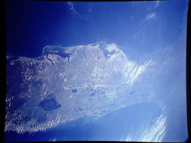
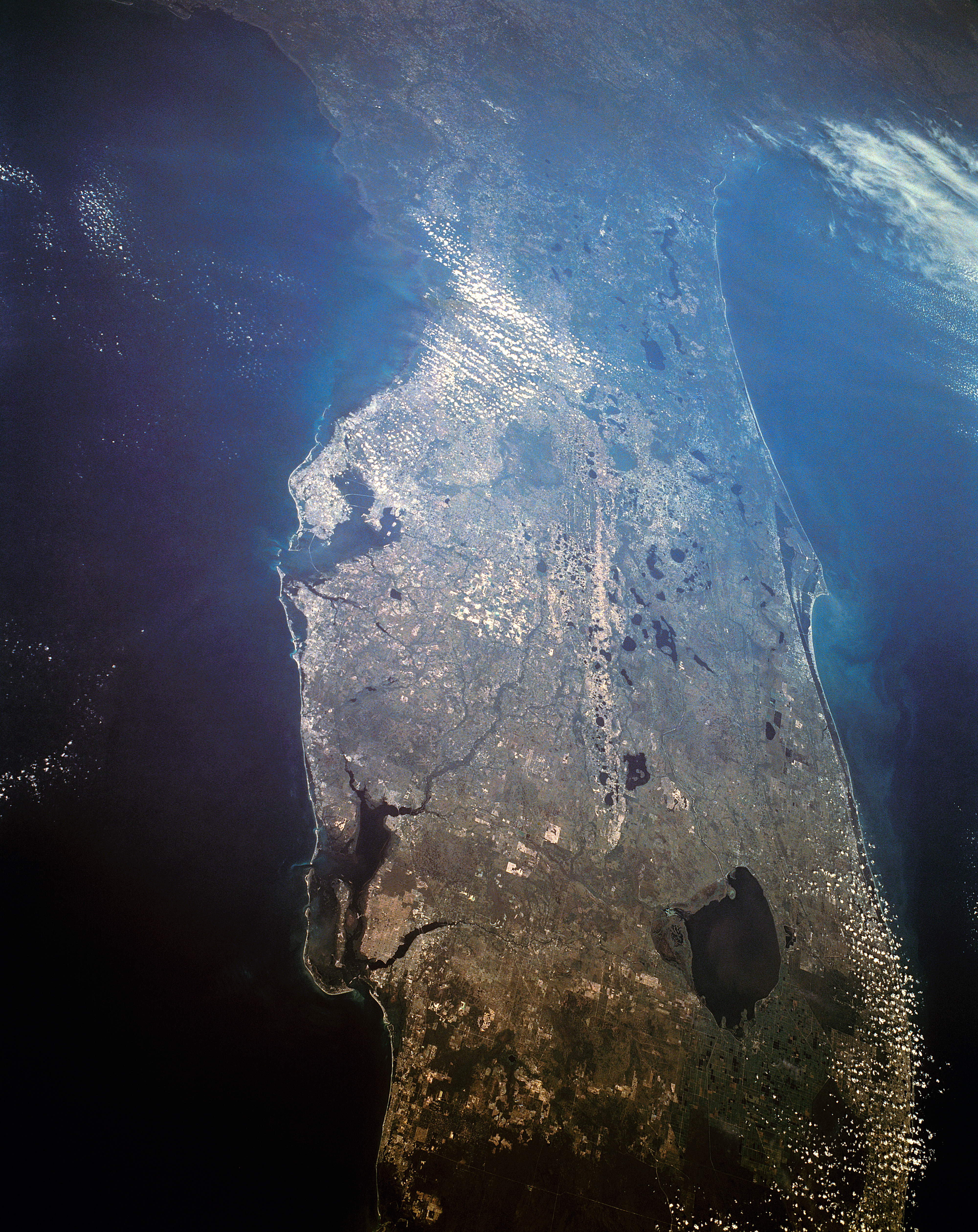
Spacecraft nadir point: 26.0° N, 82.5° W
Photo center point: 28.5° N, 81.5° W
Photo center point by machine learning:
Photo center point: 28.5° N, 81.5° W
Photo center point by machine learning:
Nadir to Photo Center: North
Spacecraft Altitude: 158 nautical miles (293km)
Camera: | Linhof |
Focal Length: | 90mm |
Camera Tilt: | 46 degrees |
Format: | QX868: Kodak, natural color positive, Ektachrome QX868(5017 emulsion), ASA 64, thin base |
Film Exposure: | Normal |
| Additional Information | |
| Width | Height | Annotated | Cropped | Purpose | Links |
|---|---|---|---|---|---|
| 4000 pixels | 5036 pixels | Cities collection | Download Image | ||
| 797 pixels | 994 pixels | No | No | Cities collection | Download Image |
| 5036 pixels | 4000 pixels | No | No | Download Image | |
| 640 pixels | 480 pixels | No | No | ISD 1 | Download Image |
Download Packaged File
Download a Google Earth KML for this Image
View photo footprint information
Download a GeoTIFF for this photo
Image Caption: none
