STS052-153-55
| NASA Photo ID | STS052-153-55 |
| Focal Length | 90mm |
| Date taken | 1992.10.25 |
| Time taken | 17:26:07 GMT |
Resolutions offered for this image:
640 x 480 pixels
640 x 480 pixels
Cloud masks available for this image:
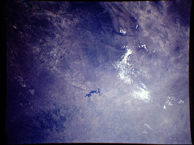
Spacecraft nadir point: 28.4° N, 101.5° W
Photo center point: 29.5° N, 101.0° W
Photo center point by machine learning:
Photo center point: 29.5° N, 101.0° W
Photo center point by machine learning:
Nadir to Photo Center: North
Spacecraft Altitude: 158 nautical miles (293km)
Country or Geographic Name: | USA-TEXAS |
Features: | AMISTAD RES. AREA, MTS. |
| Features Found Using Machine Learning: | |
Cloud Cover Percentage: | 5 (1-10)% |
Sun Elevation Angle: | 46° |
Sun Azimuth: | 157° |
Camera: | Linhof |
Focal Length: | 90mm |
Camera Tilt: | 25 degrees |
Format: | QX868: Kodak, natural color positive, Ektachrome QX868(5017 emulsion), ASA 64, thin base |
Film Exposure: | Normal |
| Additional Information | |
| Width | Height | Annotated | Cropped | Purpose | Links |
|---|---|---|---|---|---|
| 640 pixels | 480 pixels | No | No | ISD 1 | Download Image |
Download Packaged File
Download a Google Earth KML for this Image
View photo footprint information
Download a GeoTIFF for this photo
Image Caption: Big Bend National Park to Uvalde; southern Edwards Plateau, northern Coahuila. High Plains/Red Rolling Plains Linhof view to north, centered on Lake Amistad. Sierra Madre Oriental, Agua Chili Flourspar District, Edwards Plateau. South Texas/Lower Rio Grande Valley
