STS051-101-47

| NASA Photo ID | STS051-101-47 |
| Focal Length | 100mm |
| Date taken | 1993.09.15 |
| Time taken | 05:06:50 GMT |
Resolutions offered for this image:
3904 x 3904 pixels 639 x 639 pixels 5700 x 5900 pixels 500 x 518 pixels 640 x 480 pixels
3904 x 3904 pixels 639 x 639 pixels 5700 x 5900 pixels 500 x 518 pixels 640 x 480 pixels
Cloud masks available for this image:
Spacecraft nadir point: 23.3° S, 140.8° E
Photo center point: 22.5° S, 138.5° E
Photo center point by machine learning:
Photo center point: 22.5° S, 138.5° E
Photo center point by machine learning:
Nadir to Photo Center: West
Spacecraft Altitude: 162 nautical miles (300km)
Country or Geographic Name: | AUSTRALIA-Q |
Features: | GEORGINA R., BARKLY PLAT. |
| Features Found Using Machine Learning: | |
Cloud Cover Percentage: | 0 (no clouds present) |
Sun Elevation Angle: | 44° |
Sun Azimuth: | 300° |
Camera: | Hasselblad |
Focal Length: | 100mm |
Camera Tilt: | 42 degrees |
Format: | VELVI: Fuji, natural color positive, Velvia 50, CS 135-36, ASA 32, standard base |
Film Exposure: | Normal |
| Additional Information | |
| Width | Height | Annotated | Cropped | Purpose | Links |
|---|---|---|---|---|---|
| 3904 pixels | 3904 pixels | No | No | Earth From Space collection | Download Image |
| 639 pixels | 639 pixels | No | No | Earth From Space collection | Download Image |
| 5700 pixels | 5900 pixels | No | No | Download Image | |
| 500 pixels | 518 pixels | No | No | Download Image | |
| 640 pixels | 480 pixels | No | No | Download Image |
Download Packaged File
Download a Google Earth KML for this Image
View photo footprint information
Download a GeoTIFF for this photo
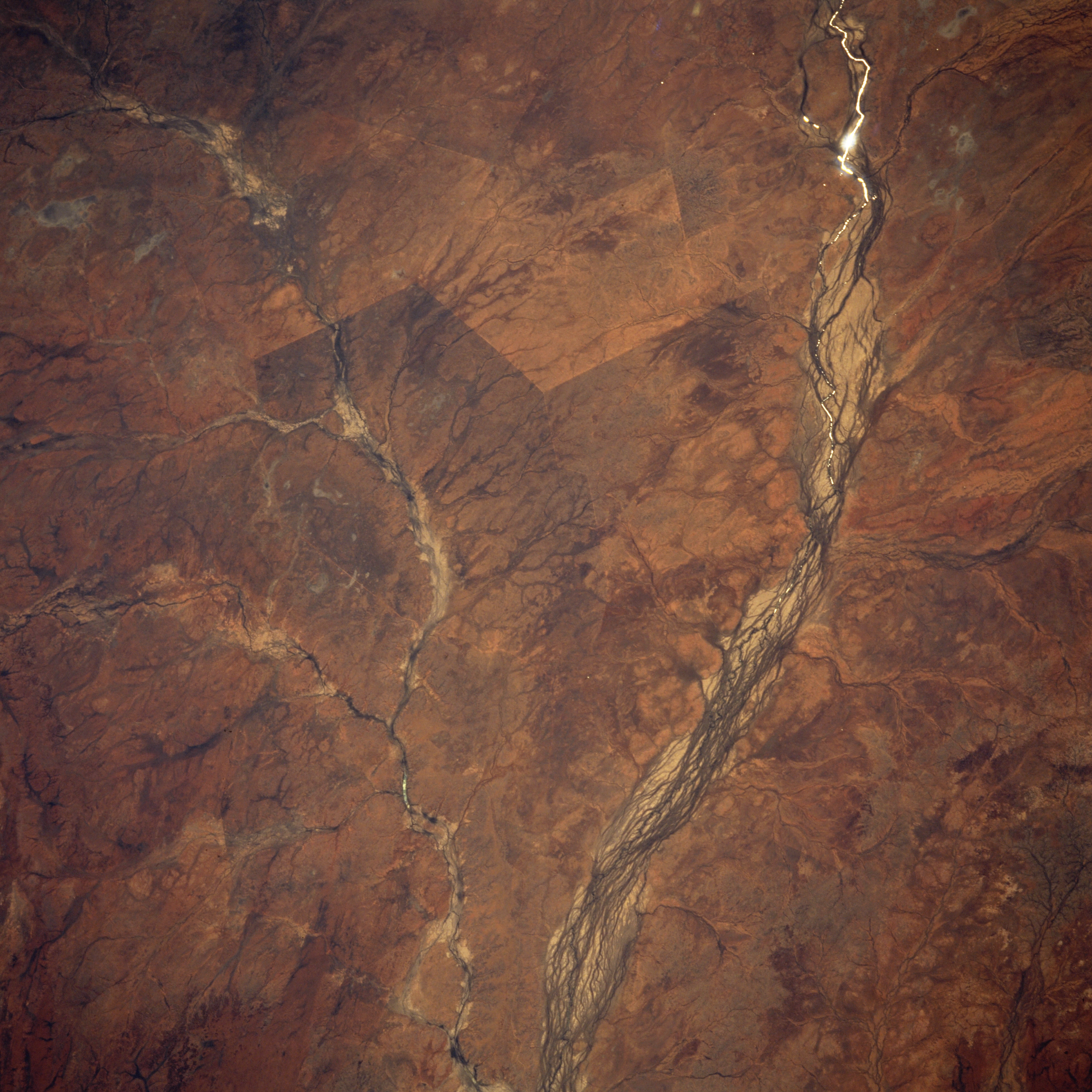
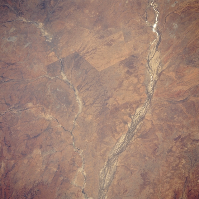
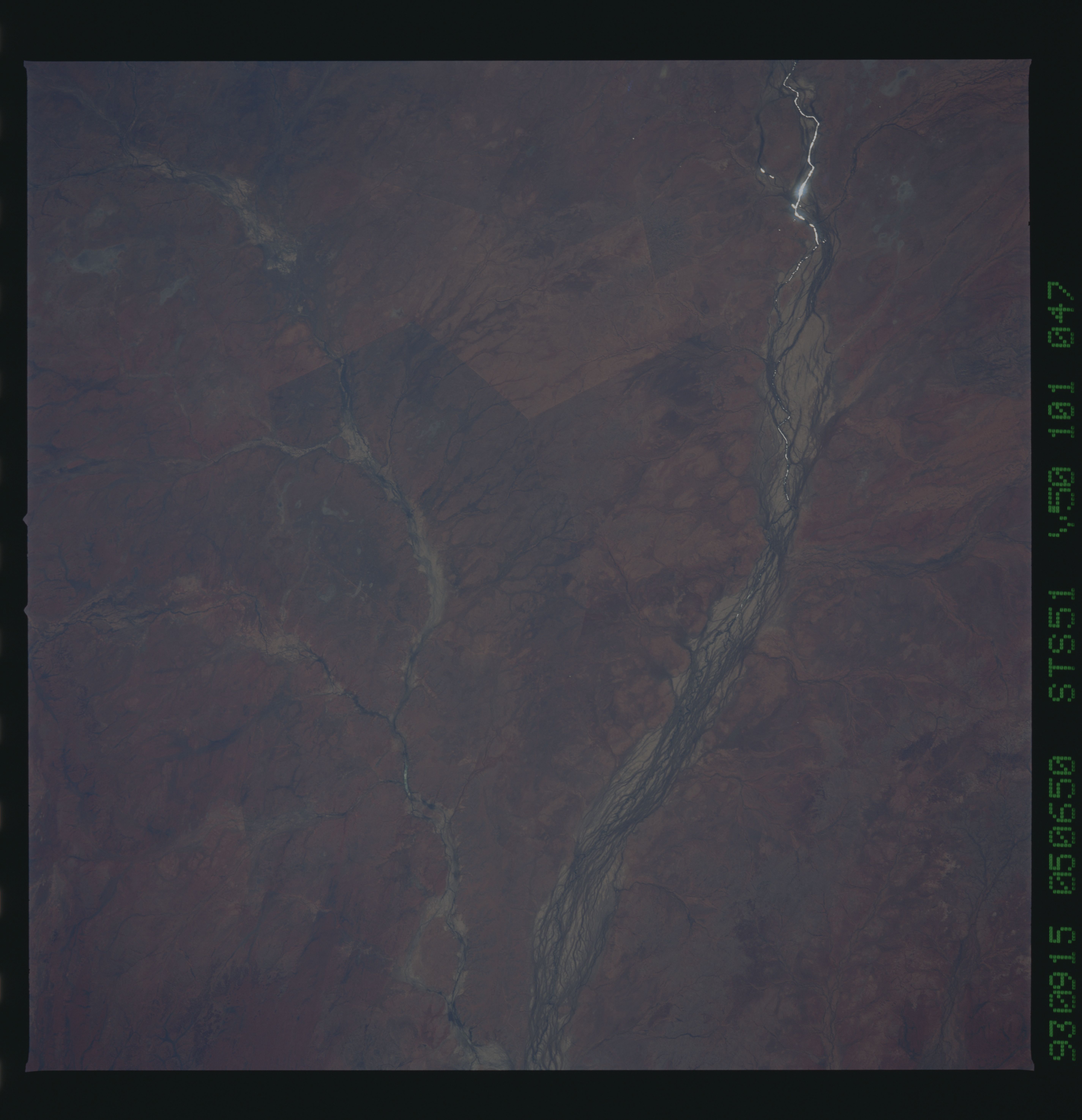
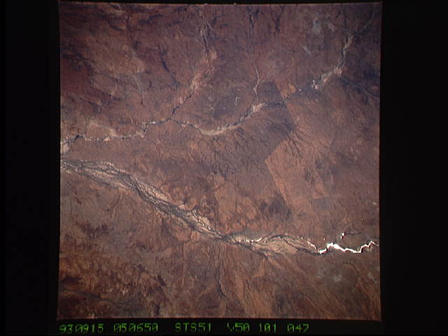
Image Caption: STS051-101-047 Georgina River, Queensland, Australia September 1993
The Georgina River, a series of multi-braided channels nearest the right side of the image, is one of many ephemeral rivers in central Australia that drains towards the interior of the continent and then just disappears into the landscape. In this particular image the sun's reflection off some standing water (called sunglint) in the Georgina River is visible as a white-looking, curving line (upper right) just north of the Roxborough Downs area. Pituri Creek and several smaller tributaries also visible in the western half of the picture. Pituri Creek is close to the Georgina River near the town of Glenormiston (small dark spot on Pituri Creek at the bottom center of the image). The linear color change (slightly above center of the picture) between the Georgina River and Pituri Creek probably marks a fence line or property boundary.
The Georgina River, a series of multi-braided channels nearest the right side of the image, is one of many ephemeral rivers in central Australia that drains towards the interior of the continent and then just disappears into the landscape. In this particular image the sun's reflection off some standing water (called sunglint) in the Georgina River is visible as a white-looking, curving line (upper right) just north of the Roxborough Downs area. Pituri Creek and several smaller tributaries also visible in the western half of the picture. Pituri Creek is close to the Georgina River near the town of Glenormiston (small dark spot on Pituri Creek at the bottom center of the image). The linear color change (slightly above center of the picture) between the Georgina River and Pituri Creek probably marks a fence line or property boundary.
