STS050-112-69
| NASA Photo ID | STS050-112-69 |
| Focal Length | 100mm |
| Date taken | 1992.07.06 |
| Time taken | 19:24:14 GMT |
Cloud masks available for this image:
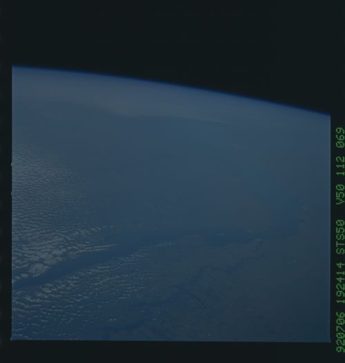
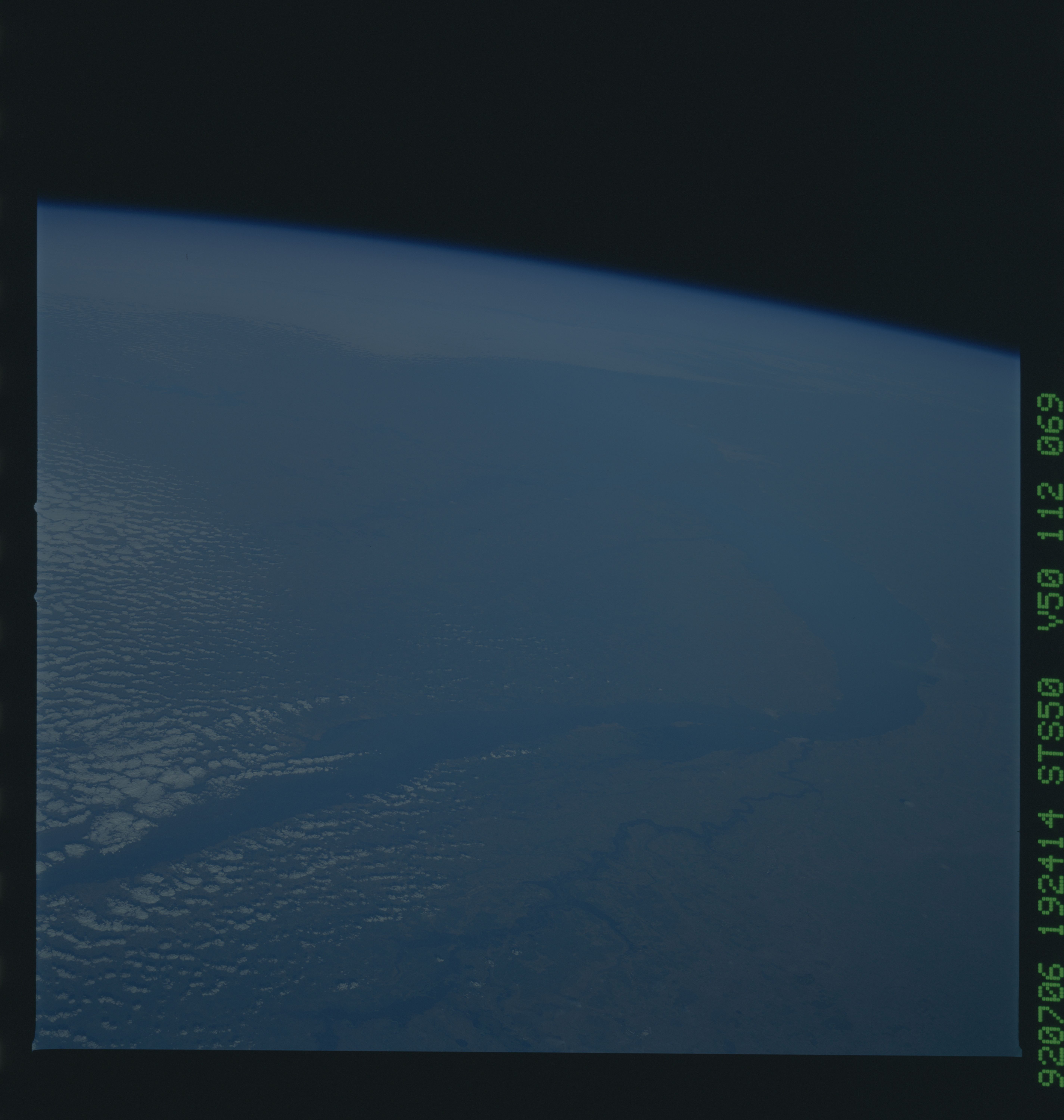
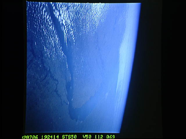
Spacecraft nadir point: 26.7° S, 62.8° W
Photo center point: 32.0° S, 59.5° W
Photo center point by machine learning:
Photo center point: 32.0° S, 59.5° W
Photo center point by machine learning:
Nadir to Photo Center: Southeast
Spacecraft Altitude: 165 nautical miles (306km)
Country or Geographic Name: | ARGENTINA |
Features: | PAN., PARANA RIVER |
| Features Found Using Machine Learning: | |
Cloud Cover Percentage: | 25 (11-25)% |
Sun Elevation Angle: | 23° |
Sun Azimuth: | 313° |
Camera: | Hasselblad |
Focal Length: | 100mm |
Camera Tilt: | High Oblique |
Format: | VELVI: Fuji, natural color positive, Velvia 50, CS 135-36, ASA 32, standard base |
Film Exposure: | Under Exposed |
| Additional Information | |
| Width | Height | Annotated | Cropped | Purpose | Links |
|---|---|---|---|---|---|
| 5700 pixels | 6000 pixels | No | No | Download Image | |
| 500 pixels | 526 pixels | No | No | Download Image | |
| 640 pixels | 480 pixels | No | No | Download Image |
Download Packaged File
Download a Google Earth KML for this Image
View photo footprint information
Download a GeoTIFF for this photo
Image Caption: This southeast looking view shows the lower Parana River (32.0S, 59.5W) of central Argentina with floodwaters obscuring most of the valley bottom detail. The rain swollen lower 300 km of the river, that displaced some 200,000 people, even appears as an arm of the ocean. Uruguay is visible at top left and cities appear as small white patches. Buenos Aires, South America's largest city, can be seen on the south shore of Rio de la Plata.
