STS050-112-60
| NASA Photo ID | STS050-112-60 |
| Focal Length | 40mm |
| Date taken | 1992.07.06 |
| Time taken | 19:21:21 GMT |
Cloud masks available for this image:
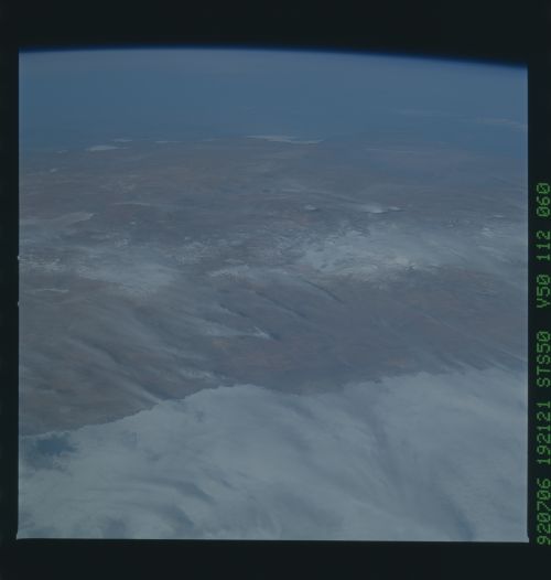
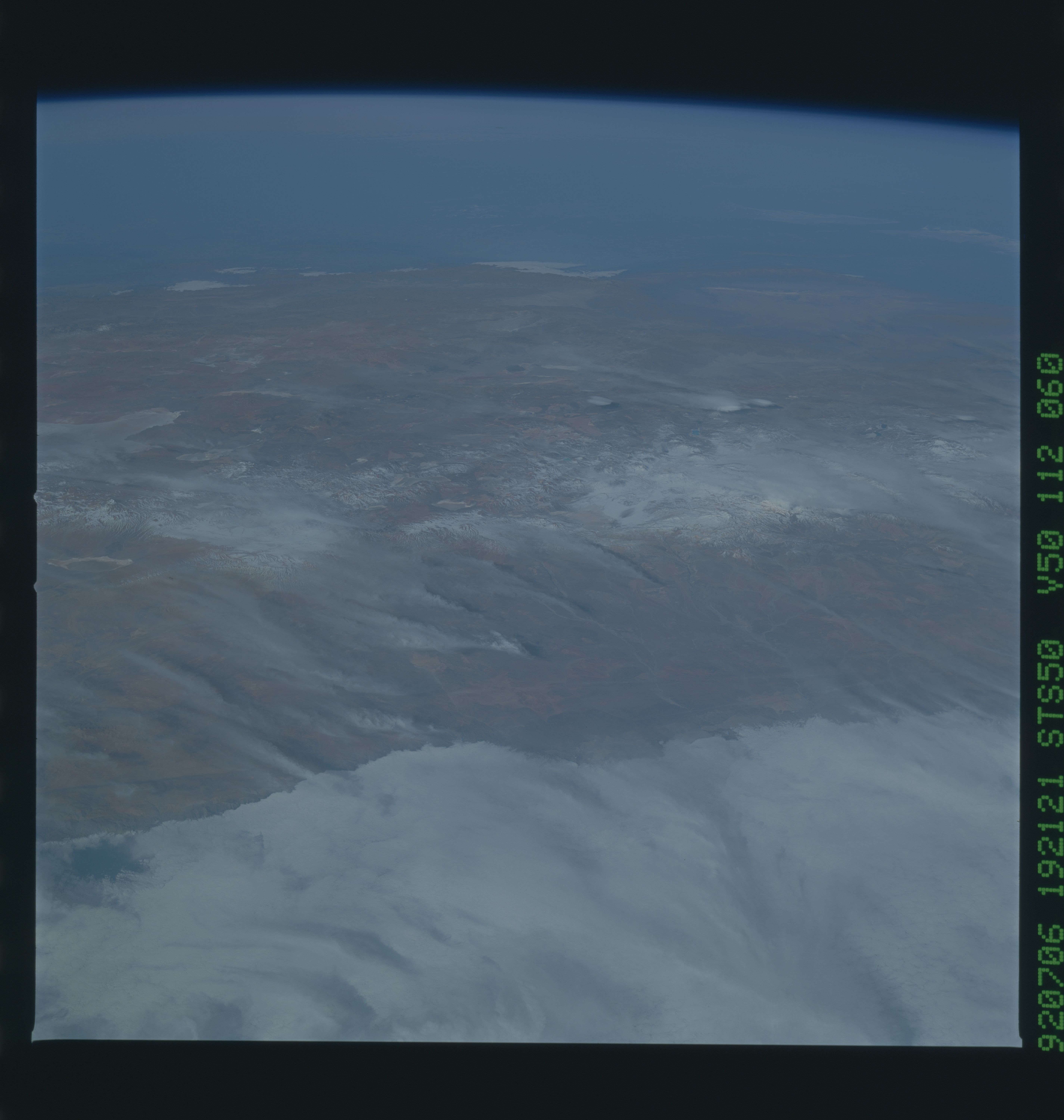
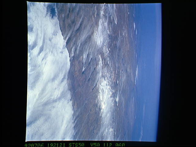
Spacecraft nadir point: 24.0° S, 74.4° W
Photo center point: 24.5° S, 69.5° W
Photo center point by machine learning:
Photo center point: 24.5° S, 69.5° W
Photo center point by machine learning:
Nadir to Photo Center: East
Spacecraft Altitude: 165 nautical miles (306km)
Country or Geographic Name: | CHILE |
Features: | PAN. VIEW E., ANDES MTS. |
| Features Found Using Machine Learning: | |
Cloud Cover Percentage: | 40 (26-50)% |
Sun Elevation Angle: | 33° |
Sun Azimuth: | 321° |
Camera: | Hasselblad |
Focal Length: | 40mm |
Camera Tilt: | High Oblique |
Format: | VELVI: Fuji, natural color positive, Velvia 50, CS 135-36, ASA 32, standard base |
Film Exposure: | Normal |
| Additional Information | |
| Width | Height | Annotated | Cropped | Purpose | Links |
|---|---|---|---|---|---|
| 5700 pixels | 6000 pixels | No | No | Download Image | |
| 500 pixels | 526 pixels | No | No | Download Image | |
| 640 pixels | 480 pixels | No | No | Download Image |
Download Packaged File
Download a Google Earth KML for this Image
View photo footprint information
Download a GeoTIFF for this photo
Image Caption: This panoramic view of the Andes Mountains of Chile and Argentina (24.5S, 69.5W) is dominated by the yellows and browns of the coastal Atacama Desert and the full width of the Andes altiplano, about 300 miles. Winter snow can be seen capping the 22,000 to 23,000 ft. peaks of the Andes. Wisps of cirrus clouds lie over the altiplano and offshore fog obscures the coast. In the distance, the low Chaco Plain appears green with pastures and agriculture.
