STS049-96-84
| NASA Photo ID | STS049-96-84 |
| Focal Length | 250mm |
| Date taken | 1992.05.16 |
| Time taken | 02:26:07 GMT |
Cloud masks available for this image:
Spacecraft nadir point: 26.2° N, 149.9° E
Photo center point:
Photo center point by machine learning:
Photo center point:
Photo center point by machine learning:
Nadir to Photo Center:
Spacecraft Altitude: 189 nautical miles (350km)
Country or Geographic Name: | PACIFIC OCEAN |
Features: | SULOY |
| Features Found Using Machine Learning: | |
Cloud Cover Percentage: | 20 (11-25)% |
Sun Elevation Angle: | 80° |
Sun Azimuth: | 226° |
Camera: | Hasselblad |
Focal Length: | 250mm |
Camera Tilt: | Low Oblique |
Format: | 5017: Kodak, natural color positive, Ektachrome, X Professional, ASA 64, standard base |
Film Exposure: | Normal |
| Additional Information | |
| Width | Height | Annotated | Cropped | Purpose | Links |
|---|---|---|---|---|---|
| 5700 pixels | 6000 pixels | No | No | Download Image | |
| 500 pixels | 526 pixels | No | No | Download Image | |
| 640 pixels | 480 pixels | No | No | Download Image |
Download Packaged File
Download a Google Earth KML for this Image
View photo footprint information
Download a GeoTIFF for this photo
Image Caption:
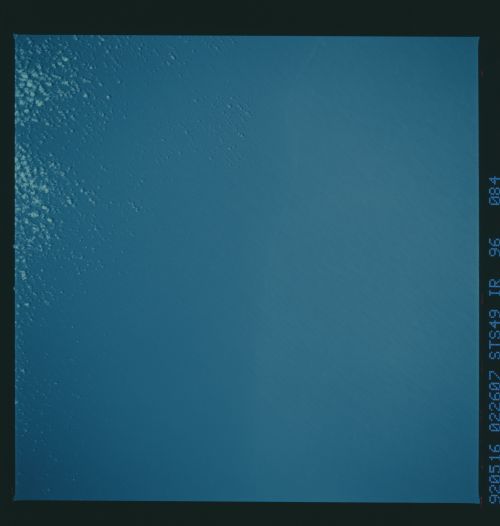
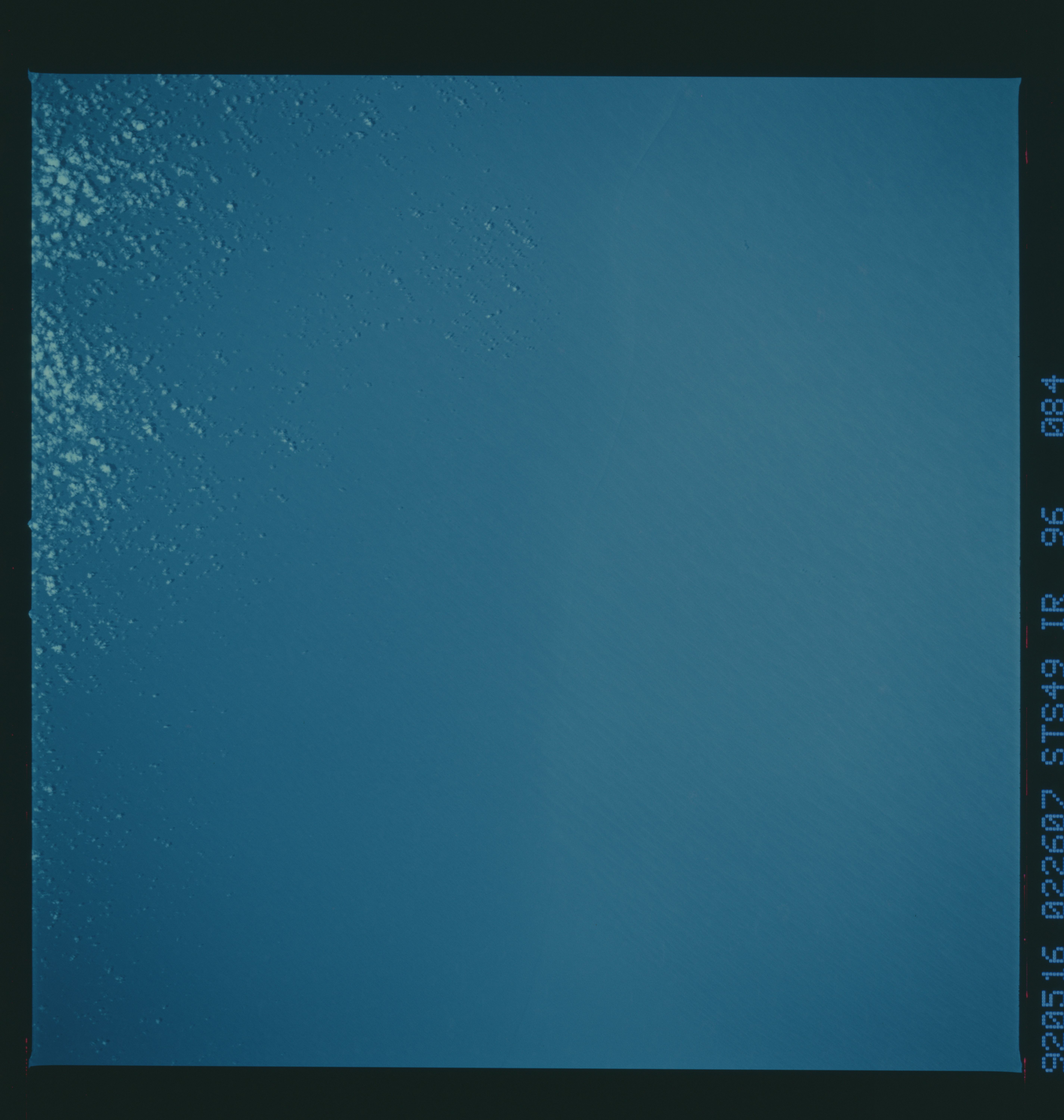
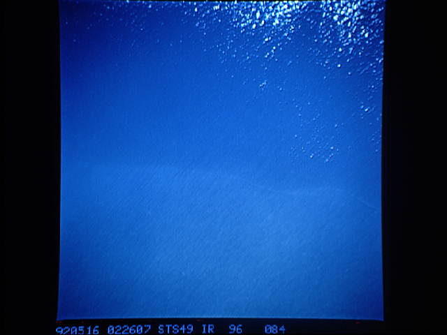
STS49-96-084: Pacific Water Mass Boundary This view of the NW.
Pacific (26N, 150E) shows the boundary between two water masses,
seen in the sunglint pattern as a change in sea surface rough-
ness. Wind streaks are seen as a pattern of linear features
oriented nearly perpendicular to the front. Low- altitude clouds
appear to be forming on one side of the front, perhaps indicating
a relative increase in water temperature between the two water
masses. If this is the case, the wind would be blowing from the
colder water mass (no clouds) to the warmer water mass. The
warmer water heats the surface air causing convection and the
formation of the clouds.
