STS049-92-69
| NASA Photo ID | STS049-92-69 |
| Focal Length | 250mm |
| Date taken | 1992.05.13 |
| Time taken | 16:43:28 GMT |
Cloud masks available for this image:
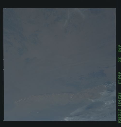
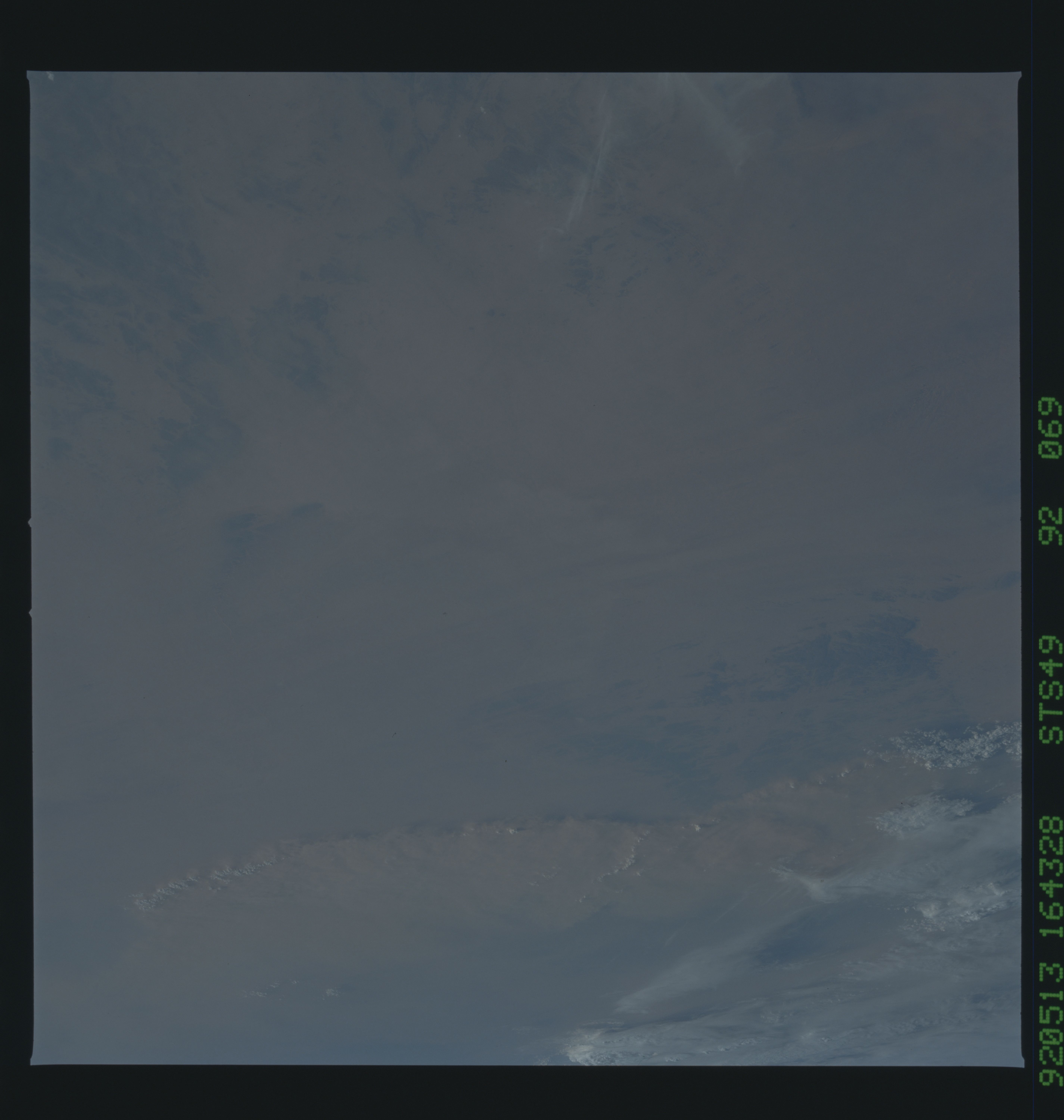
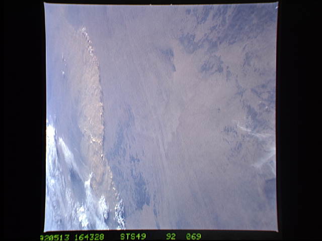
Spacecraft nadir point: 25.4° N, 8.4° E
Photo center point: 21.5° N, 7.5° E
Photo center point by machine learning:
Photo center point: 21.5° N, 7.5° E
Photo center point by machine learning:
Nadir to Photo Center: South
Spacecraft Altitude: 195 nautical miles (361km)
Country or Geographic Name: | ALGERIA |
Features: | DUST STORM, AHAGGAR MOUNTAINS |
| Features Found Using Machine Learning: | |
Cloud Cover Percentage: | 15 (11-25)% |
Sun Elevation Angle: | 17° |
Sun Azimuth: | 283° |
Camera: | Hasselblad |
Focal Length: | 250mm |
Camera Tilt: | 51 degrees |
Format: | 5017: Kodak, natural color positive, Ektachrome, X Professional, ASA 64, standard base |
Film Exposure: | Normal |
| Additional Information | |
| Width | Height | Annotated | Cropped | Purpose | Links |
|---|---|---|---|---|---|
| 5700 pixels | 6000 pixels | No | No | Download Image | |
| 500 pixels | 526 pixels | No | No | Download Image | |
| 640 pixels | 480 pixels | No | No | Download Image |
Download Packaged File
Download a Google Earth KML for this Image
View photo footprint information
Download a GeoTIFF for this photo
Image Caption:
STS49-93-069: Maritime Strato-Cumulus This picture shows a
striking contrast between open and closed cumulus in close prox-
imity to one another. Closed cell clouds are indicative of weak
upward motions while open cell cumulus indicate subsiding atmos-
pheric motions. The explanation for this contrast in cloud type
is unknown as present instruments cannot measure vertical motions
at this scale. (Picture was taken on May 9th, 1992 at
04:24:13GMT, Space Shuttle was located at 28.43N 161.03W)
