STS049-91-79
| NASA Photo ID | STS049-91-79 |
| Focal Length | 100mm |
| Date taken | 1992.05.__ |
| Time taken | GMT |
Cloud masks available for this image:
Spacecraft nadir point:
Photo center point: 3.5° N, 27.0° E
Photo center point by machine learning:
Photo center point: 3.5° N, 27.0° E
Photo center point by machine learning:
Nadir to Photo Center:
Spacecraft Altitude: nautical miles (0km)
Country or Geographic Name: | DEM. REP. OF CONGO |
Features: | UELE RIVER |
| Features Found Using Machine Learning: | |
Cloud Cover Percentage: | 5 (1-10)% |
Sun Elevation Angle: | ° |
Sun Azimuth: | ° |
Camera: | Hasselblad |
Focal Length: | 100mm |
Camera Tilt: | Near Vertical |
Format: | 5017: Kodak, natural color positive, Ektachrome, X Professional, ASA 64, standard base |
Film Exposure: | Normal |
| Additional Information | |
| Width | Height | Annotated | Cropped | Purpose | Links |
|---|---|---|---|---|---|
| 5700 pixels | 6000 pixels | No | No | Download Image | |
| 500 pixels | 526 pixels | No | No | Download Image | |
| 640 pixels | 480 pixels | No | No | Download Image |
Download Packaged File
Download a Google Earth KML for this Image
View photo footprint information
Download a GeoTIFF for this photo
Image Caption:
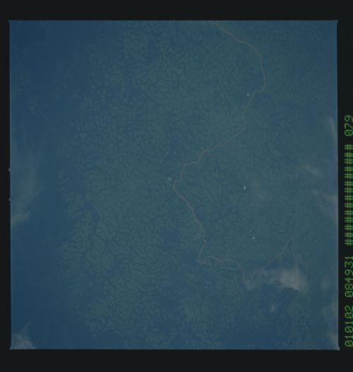
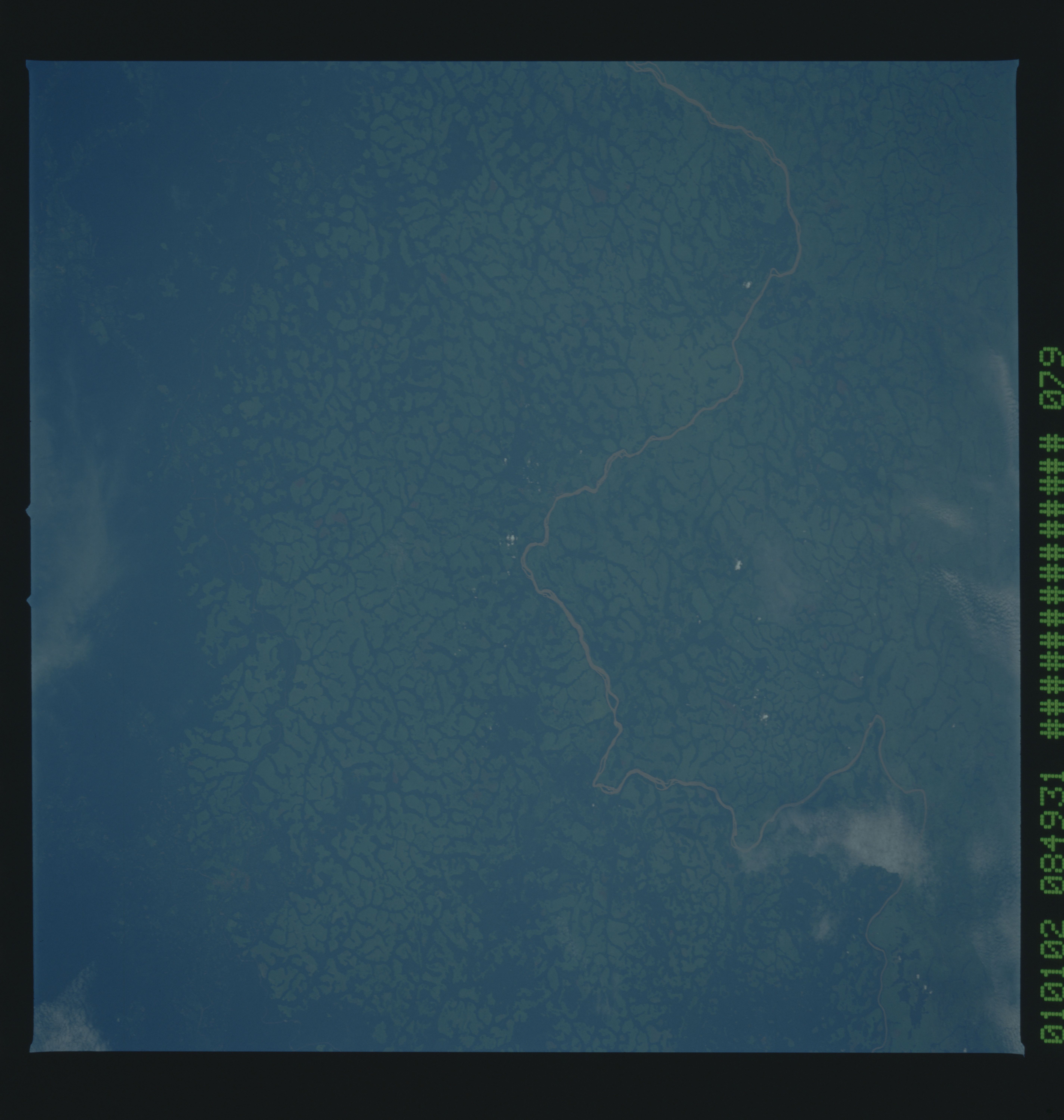
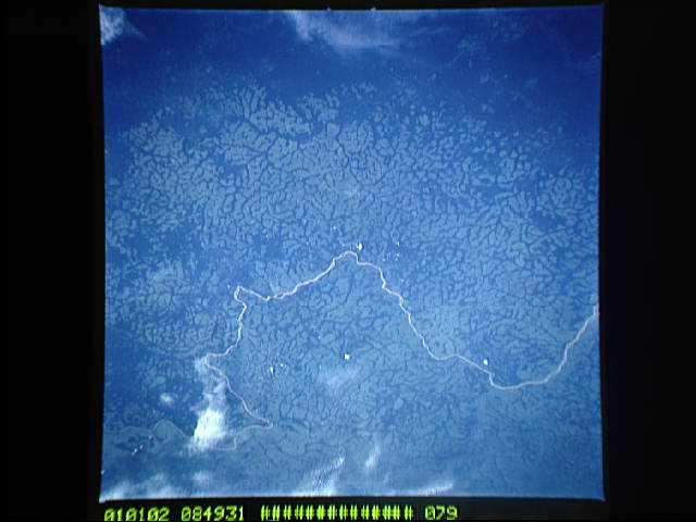
STS049-91-079 - Dendritic Drainage Pattern, Zaire
Cleared pasture land shows light green in this color photograph,
in contrast to the dark, closed-canopy forest of Zaire. Remnant
woodland along minor drainages [Could we use a different word
here, since we have RdrainageS right after this?] indicates the
intricate drainage network of this hilly region. Scattered
vegetation-free spots show the deep red, tropical soil of the re-
gion. The sediment-laden stream is the Vele River just west of
the village of Niangara. Hasselblad camera, 250-mm lens, color
film.
In this view of the Uele River and cleared pasturelands in Zaire (3.5N, 27.0E), the distinctive dendritic drainage pattern of the region becomes obvious. Cleared pasture lands shown as light green, contrasts with the dark green of the remaining closed conopy forests. The remnant woodlands along the streams indicates the intricate drainage network of this hilly region. Scattered vegetation free spots show the deep red tropical soils.
