STS049-87-99
| NASA Photo ID | STS049-87-99 |
| Focal Length | 100mm |
| Date taken | 1992.05.15 |
| Time taken | 06:34:07 GMT |
Cloud masks available for this image:
Spacecraft nadir point: 22.3° N, 78.4° E
Photo center point: 23.0° N, 78.0° E
Photo center point by machine learning:
Photo center point: 23.0° N, 78.0° E
Photo center point by machine learning:
Nadir to Photo Center: Northwest
Spacecraft Altitude: 189 nautical miles (350km)
Country or Geographic Name: | INDIA |
Features: | NARMADA RIVER |
| Features Found Using Machine Learning: | |
Cloud Cover Percentage: | 0 (no clouds present) |
Sun Elevation Angle: | 86° |
Sun Azimuth: | 148° |
Camera: | Hasselblad |
Focal Length: | 100mm |
Camera Tilt: | 14 degrees |
Format: | 2443: Kodak Aerochrome 2443, color IR, thin base, EA-5 process thru June 1999, E-6 process afterward |
Film Exposure: | Normal |
| Additional Information | |
| Width | Height | Annotated | Cropped | Purpose | Links |
|---|---|---|---|---|---|
| 5700 pixels | 6000 pixels | No | No | Download Image | |
| 500 pixels | 526 pixels | No | No | Download Image | |
| 640 pixels | 480 pixels | No | No | Download Image |
Download Packaged File
Download a Google Earth KML for this Image
View photo footprint information
Download a GeoTIFF for this photo
Image Caption:
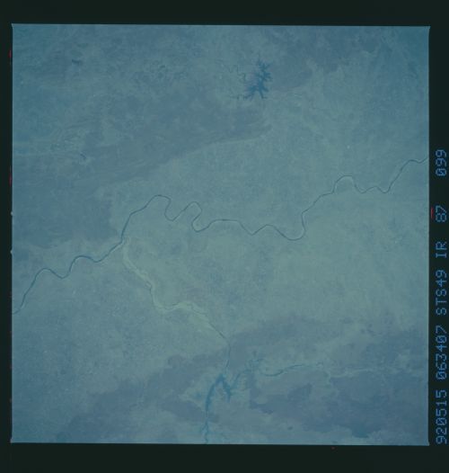
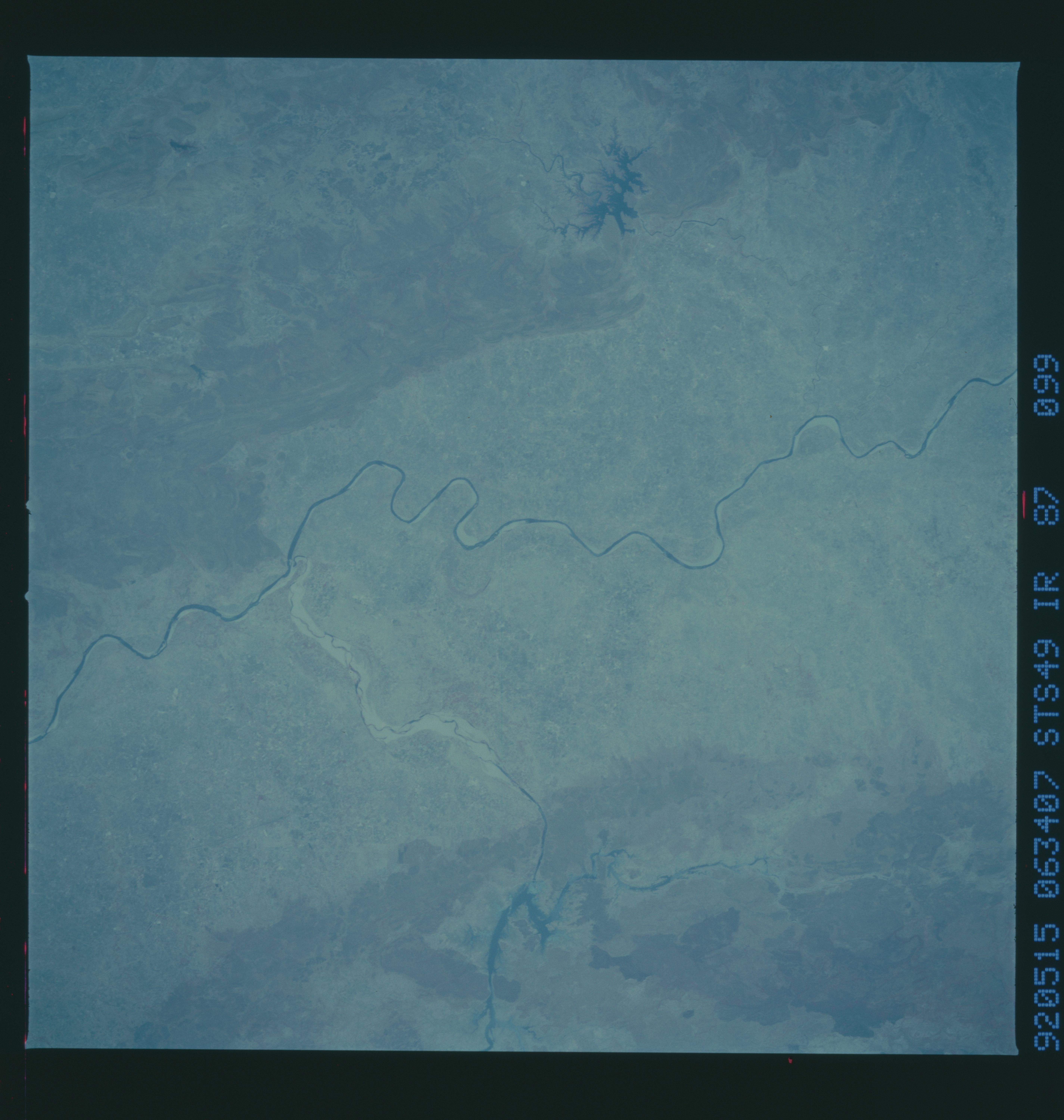
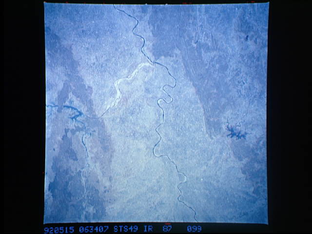
STS49-87-099: Narmada River, Northern India The Narmada River at
Hoshangabad, southeast of Bhopal, Madhya Pradesh Province,
displays a meandering pattern before it enters a very long,
straight reach. Sediment from a tributary has recently covered
much of its floodplain; a small, irregular reservoir can be seen
on the tributary. The ONC chart shows this reservoir as a very
large, broad feature; the size of the reservoir and the down-
stream sediment suggest a recent, large flood, perhaps coincident
with a dam failure. This scene is one member of a long mapping
strip that extends from the Gulf of Khambai some 350 miles in-
land. Hasselblad camera, 250mm lens, color-infrared film.
