STS049-87-3

| NASA Photo ID | STS049-87-3 |
| Focal Length | 100mm |
| Date taken | 1992.05.15 |
| Time taken | 05:06:44 GMT |
Cloud masks available for this image:
Spacecraft nadir point: 26.3° N, 117.5° E
Photo center point: 26.5° N, 120.0° E
Photo center point by machine learning:
Photo center point: 26.5° N, 120.0° E
Photo center point by machine learning:
Nadir to Photo Center: East
Spacecraft Altitude: 188 nautical miles (348km)
Country or Geographic Name: | CHINA |
Features: | SONGCHENG AREA, CLOUDY |
| Features Found Using Machine Learning: | |
Cloud Cover Percentage: | 70 (51-75)% |
Sun Elevation Angle: | 74° |
Sun Azimuth: | 246° |
Camera: | Hasselblad |
Focal Length: | 100mm |
Camera Tilt: | 39 degrees |
Format: | 2443: Kodak Aerochrome 2443, color IR, thin base, EA-5 process thru June 1999, E-6 process afterward |
Film Exposure: | Normal |
| Additional Information | |
| Width | Height | Annotated | Cropped | Purpose | Links |
|---|---|---|---|---|---|
| 5700 pixels | 6000 pixels | No | No | Download Image | |
| 500 pixels | 526 pixels | No | No | Download Image | |
| 640 pixels | 480 pixels | No | No | Download Image |
Download Packaged File
Download a Google Earth KML for this Image
View photo footprint information
Download a GeoTIFF for this photo
Image Caption:
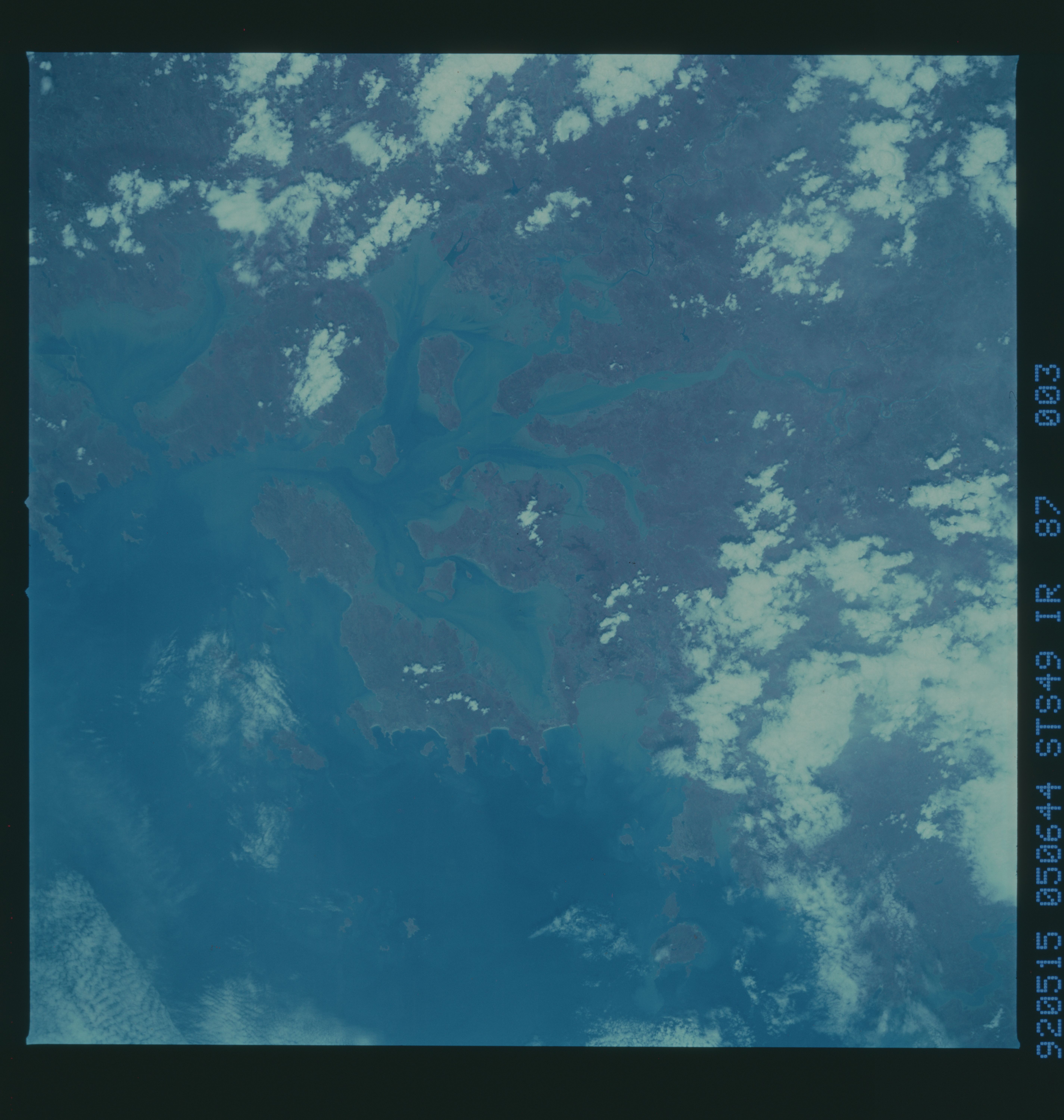
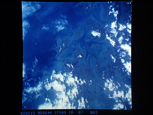
STS49-87-002, 003: Coast of China Large bay (Sandu Ao; 26.4N,
119.7E), islands, and tidal passes on the coast of the People's
Republic of China between Xiapu and Fuzhou. This pair illus-
trates the use of bracketing: frame 002 is slightly light but
exposed about as well as it could be; frame 003 is about 1/2 stop
underexposed. Four succeeding frames were taken in sunglint.
The color-infrared film illustrates vegetation patterns onshore,
without losing much information on water patterns. Hasselblad
camera, 250mm lens, color-infrared film.
