STS049-77-072
| NASA Photo ID | STS049-77-072 |
| Focal Length | 250mm |
| Date taken | 1992.05.15 |
| Time taken | 07:59:39 GMT |
Cloud masks available for this image:
Spacecraft nadir point: 13.7° N, 34.2° E
Photo center point: 14.5° N, 33.5° E
Photo center point by machine learning:
Photo center point: 14.5° N, 33.5° E
Photo center point by machine learning:
Nadir to Photo Center: Northwest
Spacecraft Altitude: 192 nautical miles (356km)
Country or Geographic Name: | SUDAN |
Features: | BLUE NILE, WAD MADANI |
| Features Found Using Machine Learning: | |
Cloud Cover Percentage: | 0 (no clouds present) |
Sun Elevation Angle: | 65° |
Sun Azimuth: | 74° |
Camera: | Hasselblad |
Focal Length: | 250mm |
Camera Tilt: | 18 degrees |
Format: | 5017: Kodak, natural color positive, Ektachrome, X Professional, ASA 64, standard base |
Film Exposure: | Normal |
| Additional Information | |
| Width | Height | Annotated | Cropped | Purpose | Links |
|---|---|---|---|---|---|
| 5700 pixels | 6000 pixels | No | No | Download Image | |
| 500 pixels | 526 pixels | No | No | Download Image | |
| 640 pixels | 480 pixels | No | No | Download Image |
Download Packaged File
Download a Google Earth KML for this Image
View photo footprint information
Download a GeoTIFF for this photo
Image Caption:
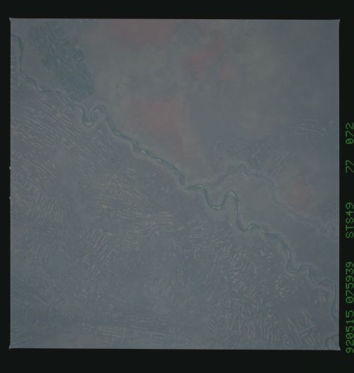
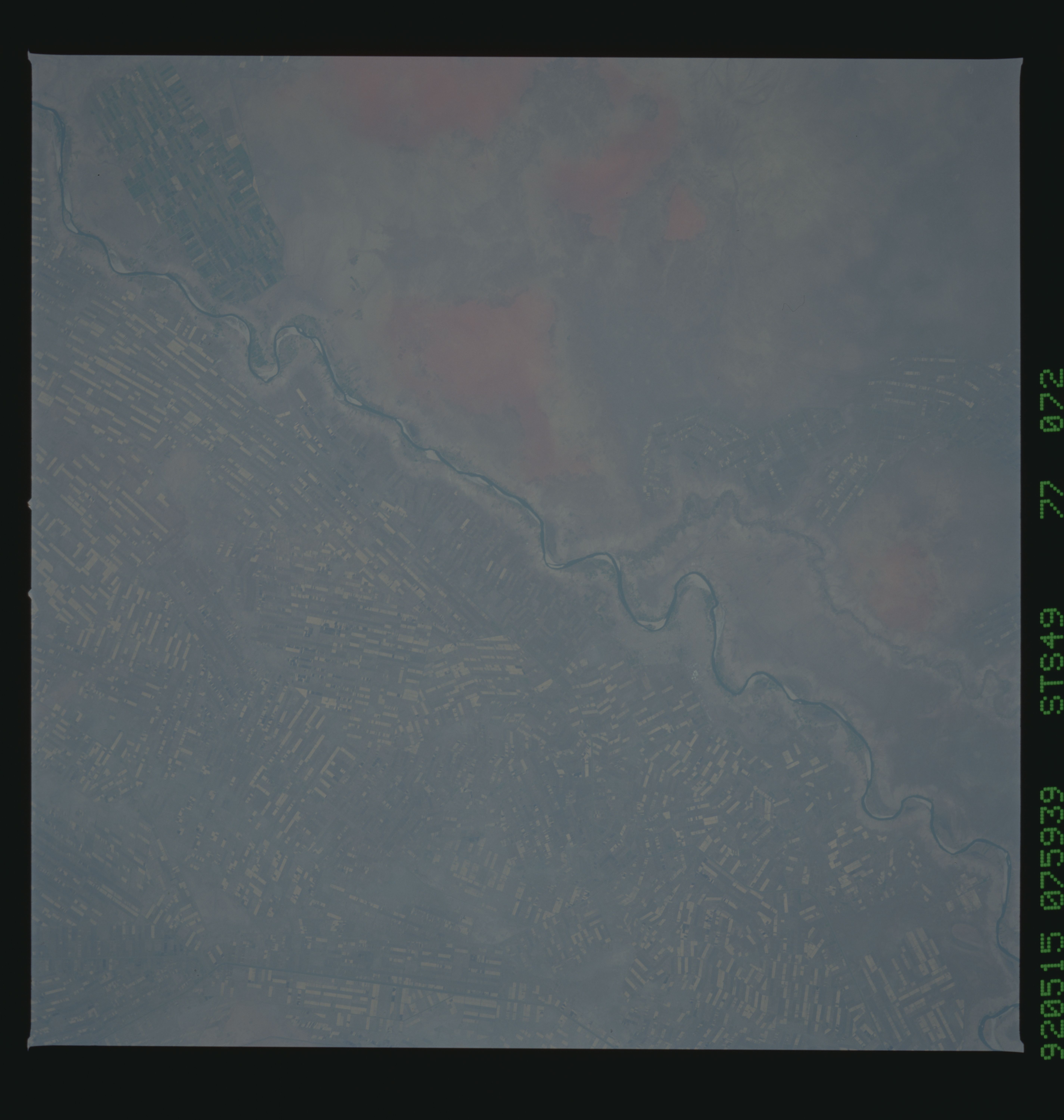
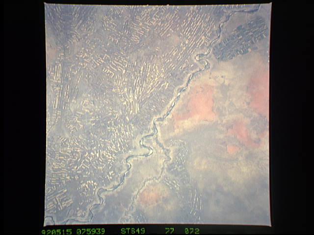
S49-77-072, S49-96-003 - Khartoum Region, Sudan Two near-vertical
photographs of the irrigated agricultural area south of Khartoum,
Sudan, are part of a series of more than a dozen frames. The Blue
Nile, which bounds the agricultural area on the east, can be seen
traversing the photographs from bottom (south) to top (north) of
the color-infrared (CIR) photograph; and from lower right to
upper left of the color photograph. The agricultural region con-
tains thousands of rectangular fields bounded by canals, which
carry water from both the Blue and White Niles. A rotation system
is used for soil fallow and pest control, so that part of the
fields will be vacant while others contain crops (cotton, durra
[what's that?], and millet). The CIR photograph helps identify
fields having actively-growing crops (for example, top center on
the east side of the river), helps identify natural vegetation
along the stream, and tends to cut haze because it is used with a
"minus-blue" filter. Hasselblad cameras, 250 lenses.
This herringbone pattern of irrigated agricultural fields near Khartoum, Sudan (14.5N, 33.5E) is very distinctive in both size and shape. The region contains thousands of these rectangular fields bounded by canals which carry water from both the White and Blue Nile Rivers. A crop rotation system is used so that some fields are in cotton, millit, sorghum or fallow to conserve moisture and control weeds and insects. See also STS049-96-003.
