STS049-75-98
| NASA Photo ID | STS049-75-98 |
| Focal Length | mm |
| Date taken | 1992.05.09 |
| Time taken | 04:03:44 GMT |
Cloud masks available for this image:
Spacecraft nadir point: 2.6° N, 122.0° E
Photo center point:
Photo center point by machine learning:
Photo center point:
Photo center point by machine learning:
Nadir to Photo Center:
Spacecraft Altitude: 159 nautical miles (294km)
Country or Geographic Name: | |
Features: | UNFOCUSED EARTHOBS |
| Features Found Using Machine Learning: | |
Cloud Cover Percentage: | |
Sun Elevation Angle: | 75° |
Sun Azimuth: | 346° |
Camera: | Hasselblad |
Focal Length: | mm |
Camera Tilt: | |
Format: | 5017: Kodak, natural color positive, Ektachrome, X Professional, ASA 64, standard base |
Film Exposure: | Out of Focus |
| Additional Information | |
| Width | Height | Annotated | Cropped | Purpose | Links |
|---|---|---|---|---|---|
| 5700 pixels | 6000 pixels | No | No | Download Image | |
| 500 pixels | 526 pixels | No | No | Download Image | |
| 640 pixels | 480 pixels | No | No | Download Image |
Download Packaged File
Download a Google Earth KML for this Image
View photo footprint information
Download a GeoTIFF for this photo
Image Caption:
S49-75-098 - Open Ocean Current Shear - 2.5N, 121.9E A dramatic
example of a suloy (line of shear between two water masses), pho-
tographed between the Celebes and Philippine Islands on May 9.
These features characteristically display abrupt differences in
sea-surface roughness, caused by convergence of water bodies hav-
ing different densities. Hasselblad camera, 250mm lens, color
film.
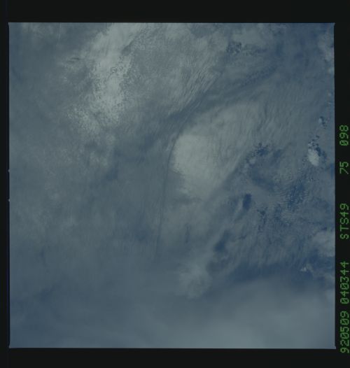
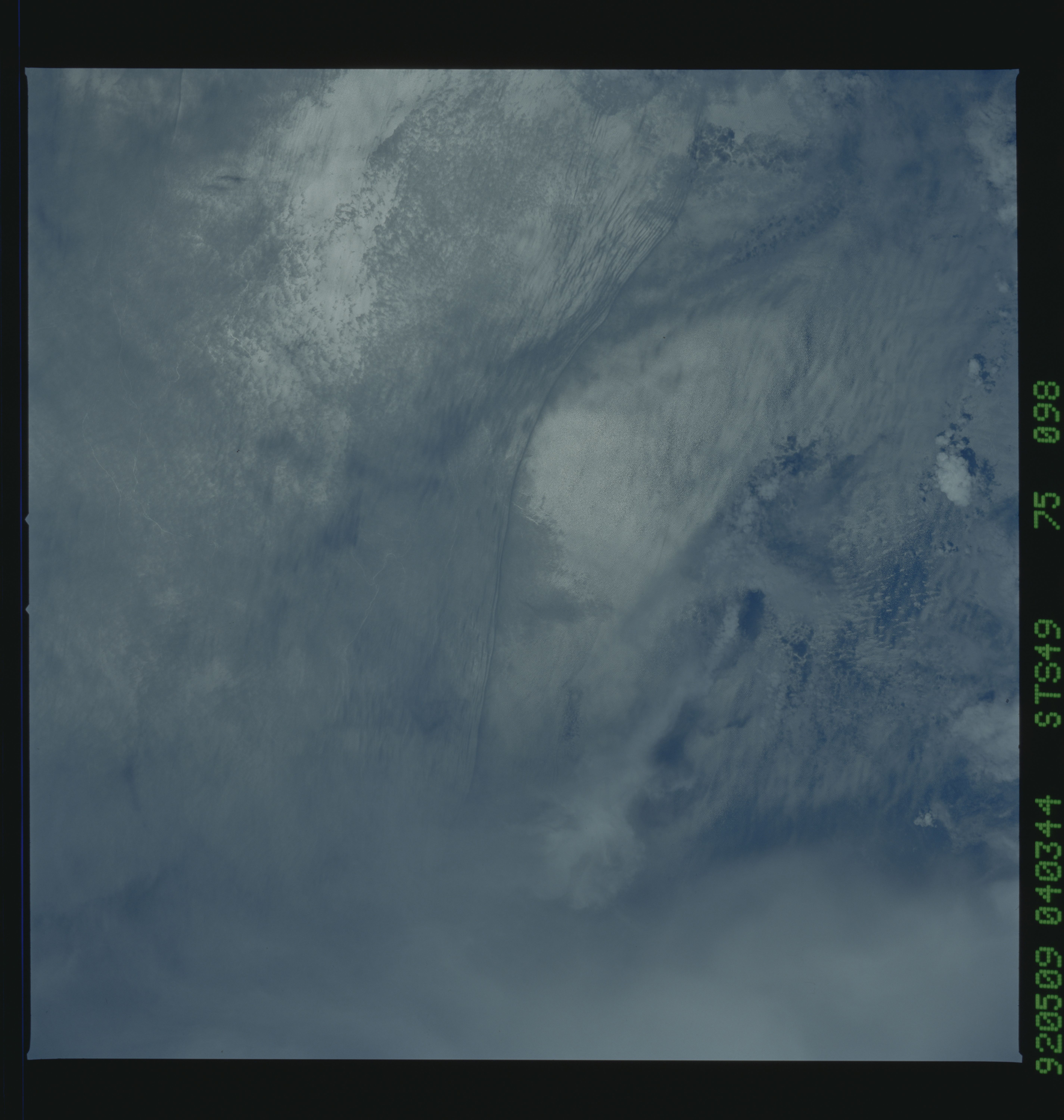
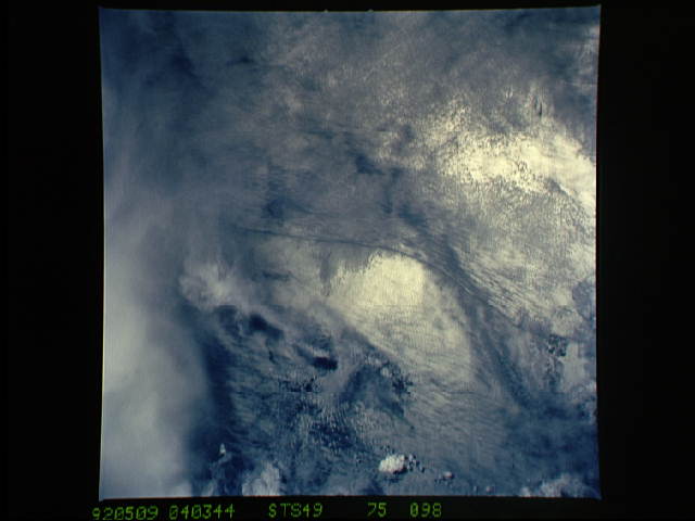
STS-49 Earth observation taken aboard Endeavour, Orbiter Vehicle (OV) 105, shows current shear in the open ocean. Center coordinates of the pictured area are 2.5 degrees north latitude and 121.9 degrees east longitude. The scene serves as a dramatic example of a suloy (a shear line between two water masses). It is located between Celebes and the Philippine Islands. Suloys characteristically display an abrupt difference in sea-surface roughness, caused by convergence of water bodies having different densities. The crewmembers used a handheld HASSELBLAD camera, 250-mm lens, color film to expose the image.
S49-75-098 - Open Ocean Current Shear - 2.5N, 121.9E A dramatic
example of a suloy (line of shear between two water masses), pho-
tographed between the Celebes and Philippine Islands on May 9.
These features characteristically display abrupt differences in
sea-surface roughness, caused by convergence of water bodies hav-
ing different densities. Hasselblad camera, 250mm lens, color
film.
STS-49 Earth observation taken aboard Endeavour, Orbiter Vehicle (OV) 105, shows current shear in the open ocean. Center coordinates of the pictured area are 2.5 degrees north latitude and 121.9 degrees east longitude. The scene serves as a dramatic example of a suloy (a shear line between two water masses). It is located between Celebes and the Philippine Islands. Suloys characteristically display an abrupt difference in sea-surface roughness, caused by convergence of water bodies having different densities. The crewmembers used a handheld HASSELBLAD camera, 250-mm lens, color film to expose the image.
