STS049-72-13

| NASA Photo ID | STS049-72-13 |
| Focal Length | 100mm |
| Date taken | 1992.05.08 |
| Time taken | 05:29:12 GMT |
Cloud masks available for this image:
Spacecraft nadir point: 9.0° N, 121.0° E
Photo center point: 9.0° N, 120.0° E
Photo center point by machine learning:
Photo center point: 9.0° N, 120.0° E
Photo center point by machine learning:
Nadir to Photo Center: West
Spacecraft Altitude: 151 nautical miles (280km)
Country or Geographic Name: | PHILIPPINES |
Features: | TUBBATAHA RF. SUNGLINT |
| Features Found Using Machine Learning: | |
Cloud Cover Percentage: | 15 (11-25)% |
Sun Elevation Angle: | ° |
Sun Azimuth: | ° |
Camera: | Hasselblad |
Focal Length: | 100mm |
Camera Tilt: | 22 degrees |
Format: | 5017: Kodak, natural color positive, Ektachrome, X Professional, ASA 64, standard base |
Film Exposure: | Normal |
| Additional Information | |
| Width | Height | Annotated | Cropped | Purpose | Links |
|---|---|---|---|---|---|
| 5700 pixels | 6000 pixels | No | No | Download Image | |
| 500 pixels | 526 pixels | No | No | Download Image | |
| 640 pixels | 480 pixels | No | No | Download Image |
Download Packaged File
Download a Google Earth KML for this Image
View photo footprint information
Download a GeoTIFF for this photo
Image Caption:
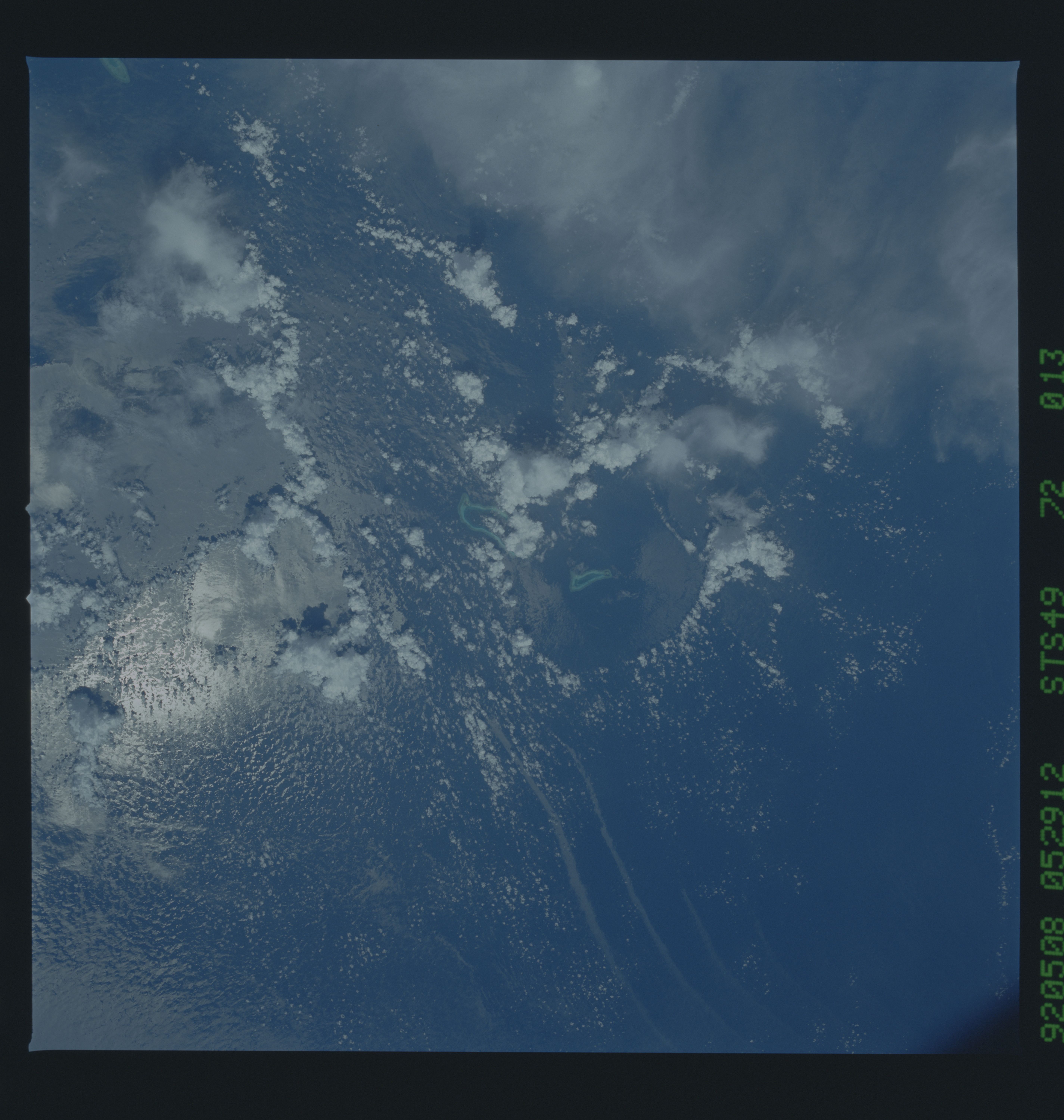
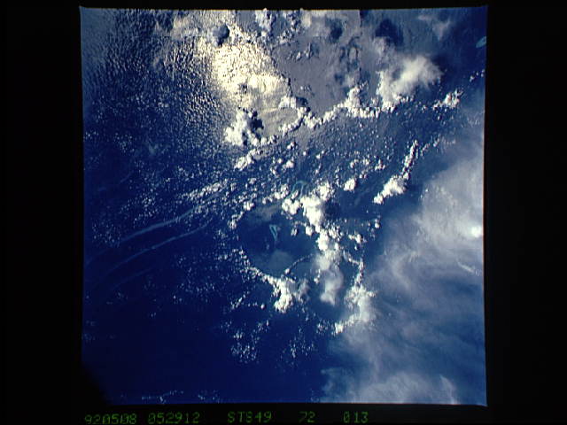
STS49-72-013, cf. STS49-71-042: Frame 72-013 was taken 3 seconds
after frame 71-042, using a shorter-focal-length lens (50mm?).
The circular downdraft feature is seen in the context of the sur-
rounding weather systems, which include several other, though
less well-marked, thunderstorm downdrafts. Large wave systems
and oily slicks are displayed on the surrounding ocean surface.
Hasselblad camera, 50mm? lens, color film.
STS49-72-013: Tubbataha Reef, Sulu Sea This is the same area
viewed in STS49-071-042, except that a 100 mm lens was used in-
stead of a 250 mm lens. In addition to the circular roughened
areas centered on Tubbataha Reef, evidence of the large solitons
seen in STS49-071-040 is also present.
