STS049-71-14
| NASA Photo ID | STS049-71-14 |
| Focal Length | 250mm |
| Date taken | 1992.05.08 |
| Time taken | 04:10:17 GMT |
Resolutions offered for this image:
5700 x 6000 pixels 500 x 526 pixels 640 x 480 pixels 1962 x 1395 pixels 1962 x 1395 pixels 3222 x 2950 pixels 640 x 480 pixels
5700 x 6000 pixels 500 x 526 pixels 640 x 480 pixels 1962 x 1395 pixels 1962 x 1395 pixels 3222 x 2950 pixels 640 x 480 pixels

Cloud masks available for this image:
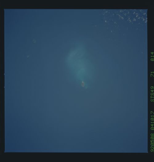
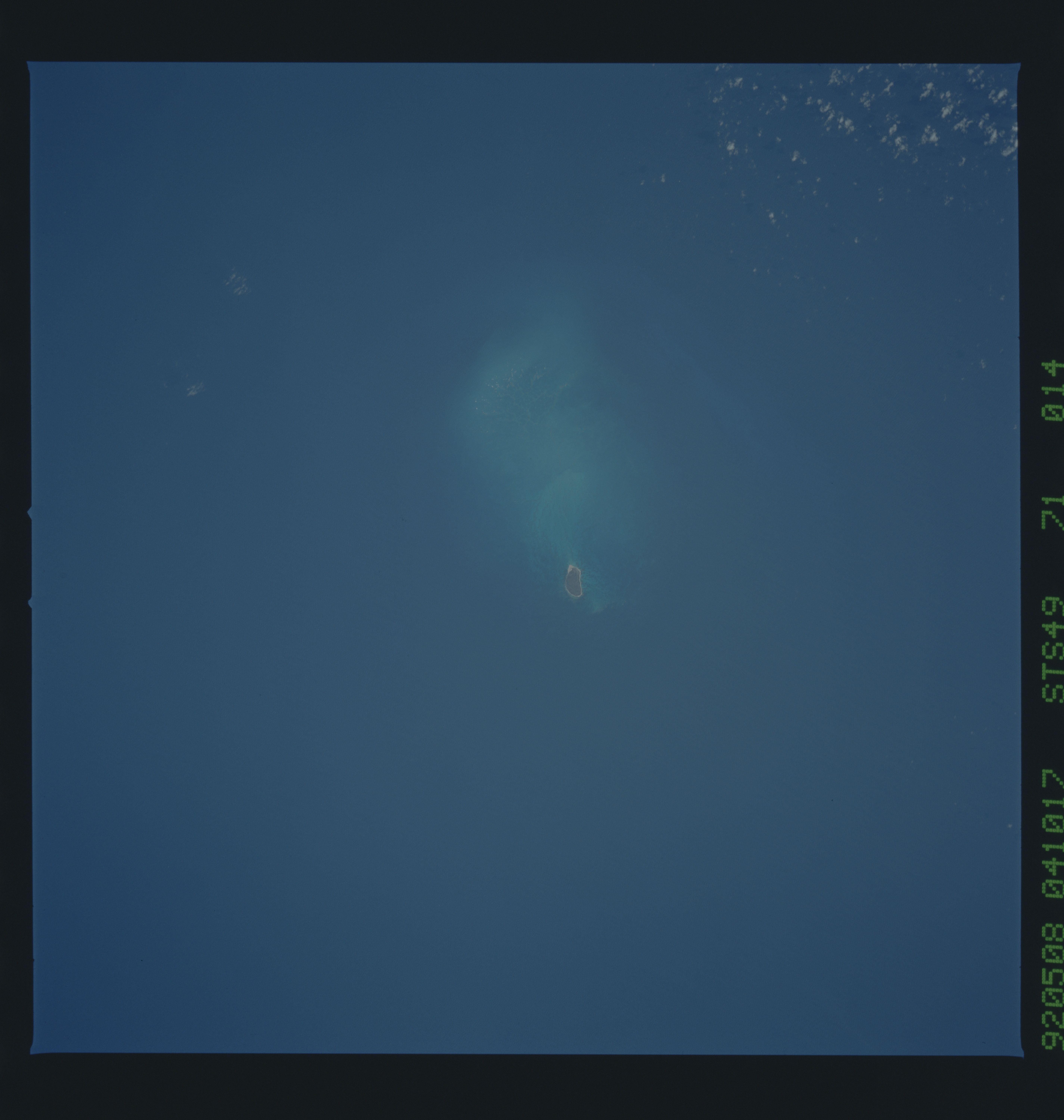
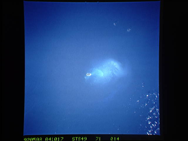
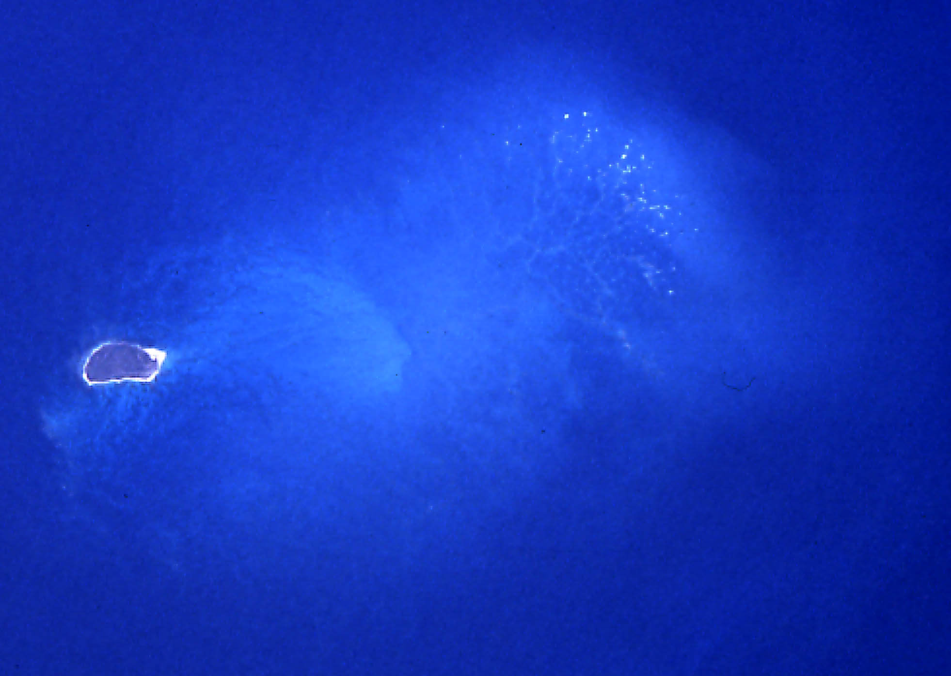
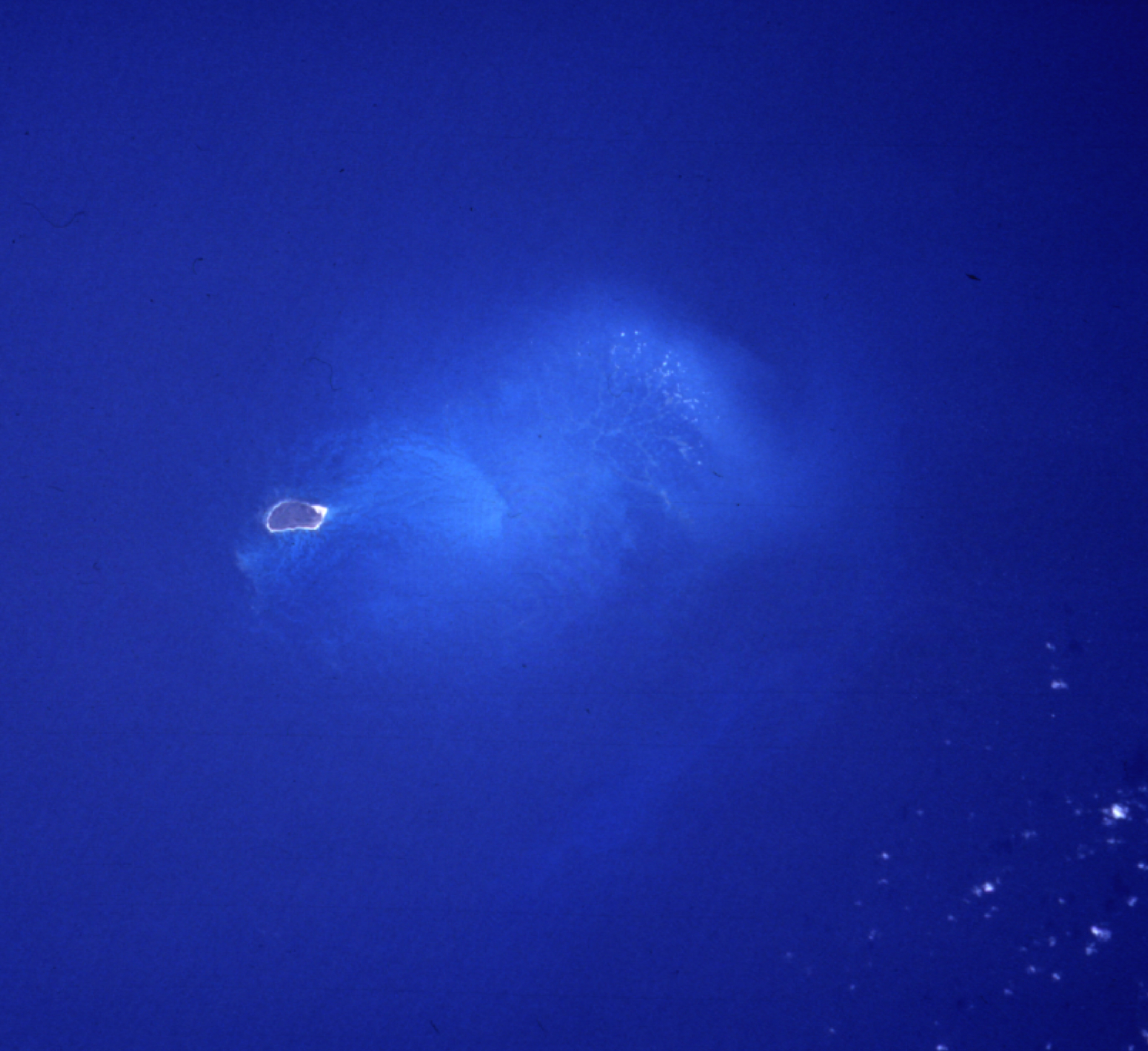
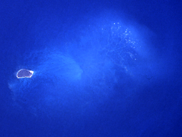
Spacecraft nadir point: 25.6° N, 173.6° W
Photo center point: 26.0° N, 174.0° W
Photo center point by machine learning:
Photo center point: 26.0° N, 174.0° W
Photo center point by machine learning:
Nadir to Photo Center: Northwest
Spacecraft Altitude: 142 nautical miles (263km)
Country or Geographic Name: | USA-HAWAII |
Features: | LISIANSKI IS., NEVA SHOAL |
| Features Found Using Machine Learning: | |
Cloud Cover Percentage: | 0 (no clouds present) |
Sun Elevation Angle: | ° |
Sun Azimuth: | ° |
Camera: | Hasselblad |
Focal Length: | 250mm |
Camera Tilt: | 13 degrees |
Format: | 5017: Kodak, natural color positive, Ektachrome, X Professional, ASA 64, standard base |
Film Exposure: | Normal |
| Additional Information | |
| Width | Height | Annotated | Cropped | Purpose | Links |
|---|---|---|---|---|---|
| 5700 pixels | 6000 pixels | No | No | Download Image | |
| 500 pixels | 526 pixels | No | No | Download Image | |
| 640 pixels | 480 pixels | No | No | Download Image | |
| 1962 pixels | 1395 pixels | ReefBase pilot | Download Image | ||
| 1962 pixels | 1395 pixels | ReefBase pilot | Download Image | ||
| 3222 pixels | 2950 pixels | Reef RS | Download Image | ||
| 640 pixels | 480 pixels | Download Image |
Download Packaged File
Download a Google Earth KML for this Image
View photo footprint information
Download a GeoTIFF for this photo
Image Caption: none
