STS048-83-77
| NASA Photo ID | STS048-83-77 |
| Focal Length | 250mm |
| Date taken | 1991.09.14 |
| Time taken | 06:49:28 GMT |
Resolutions offered for this image:
5291 x 5234 pixels 640 x 633 pixels 5700 x 6000 pixels 500 x 526 pixels 640 x 480 pixels
5291 x 5234 pixels 640 x 633 pixels 5700 x 6000 pixels 500 x 526 pixels 640 x 480 pixels
Cloud masks available for this image:
Spacecraft nadir point: 21.7° S, 123.9° E
Photo center point: 22.5° S, 123.5° E
Photo center point by machine learning:
Photo center point: 22.5° S, 123.5° E
Photo center point by machine learning:
Nadir to Photo Center: South
Spacecraft Altitude: 309 nautical miles (572km)
Country or Geographic Name: | AUSTRALIA-WA |
Features: | GREAT SANDY DESERT, LAKES |
| Features Found Using Machine Learning: | |
Cloud Cover Percentage: | 0 (no clouds present) |
Sun Elevation Angle: | 36° |
Sun Azimuth: | 288° |
Camera: | Hasselblad |
Focal Length: | 250mm |
Camera Tilt: | 10 degrees |
Format: | 5017: Kodak, natural color positive, Ektachrome, X Professional, ASA 64, standard base |
Film Exposure: | Normal |
| Additional Information | |
| Width | Height | Annotated | Cropped | Purpose | Links |
|---|---|---|---|---|---|
| 5291 pixels | 5234 pixels | No | No | Earth From Space collection | Download Image |
| 640 pixels | 633 pixels | No | No | Earth From Space collection | Download Image |
| 5700 pixels | 6000 pixels | No | No | Download Image | |
| 500 pixels | 526 pixels | No | No | Download Image | |
| 640 pixels | 480 pixels | No | No | Download Image |
Download Packaged File
Download a Google Earth KML for this Image
View photo footprint information
Download a GeoTIFF for this photo
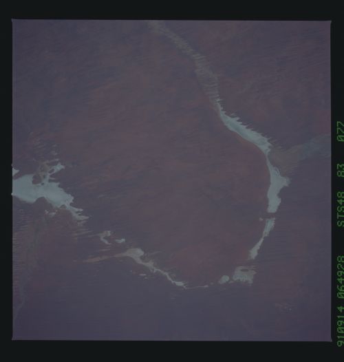
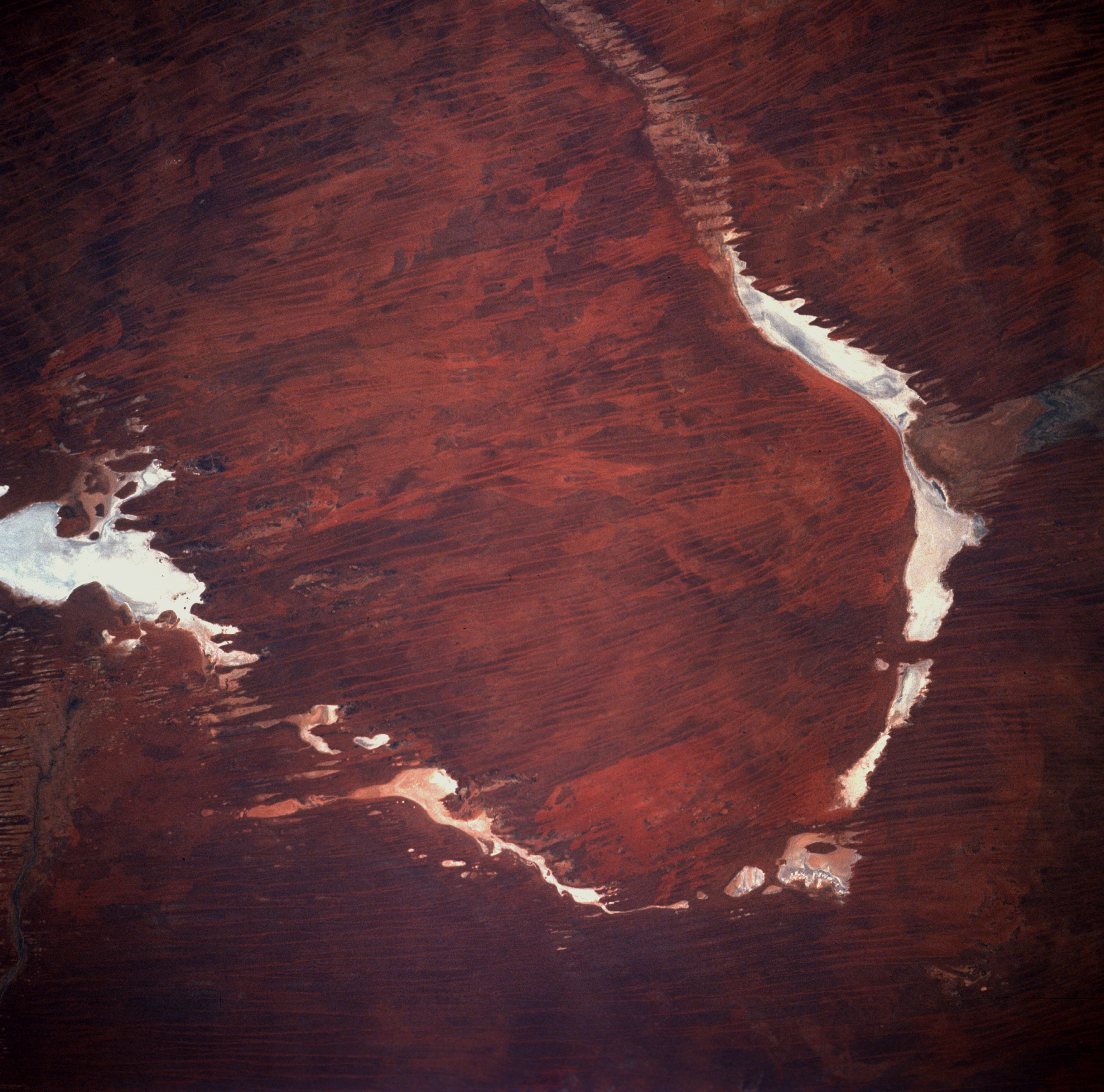
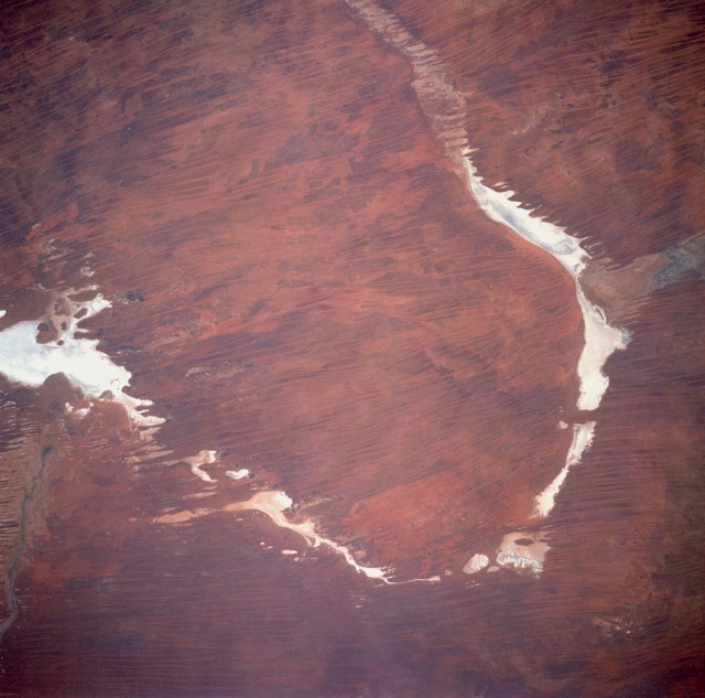
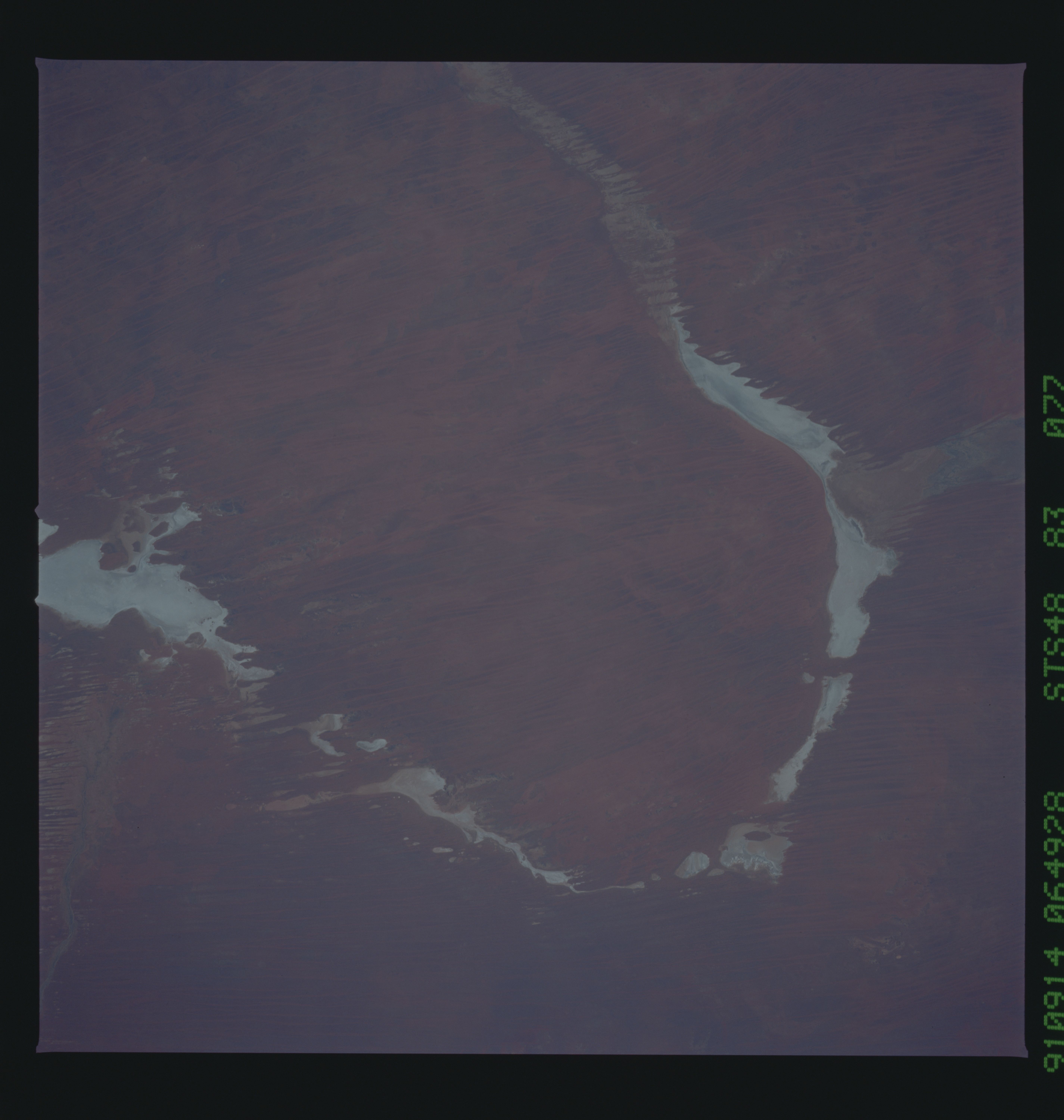
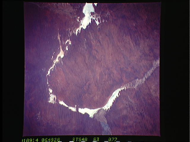
Image Caption: STS048-083-077 Gibson Desert, Australia September 1991
Although western Australia has hundreds of highly reflective dry lakebeds (salt flats), this area offers a unique white "U" chain of dry lakes in this hostile desert environment. Some of the lakes are named--Lake Dora, the larger lake along the western tip of the U, and Lake Auld, the elongated eastern lake. Lake Dora is part of the Rudall River National Park, an isolated park in which scientific studies are encouraged and tourism is discouraged. Located between the Great Sandy Desert to the north and the Gibson Desert to the south, the entire area is characterized by dry sand dunes and sand ridges with some grass and desert vegetation scattered across the landscape. The mottled terrain reflects burn scars caused by range fires that usually result from lightning strikes of severe thunderstorms that infrequently occur in the desert environment.
Although western Australia has hundreds of highly reflective dry lakebeds (salt flats), this area offers a unique white "U" chain of dry lakes in this hostile desert environment. Some of the lakes are named--Lake Dora, the larger lake along the western tip of the U, and Lake Auld, the elongated eastern lake. Lake Dora is part of the Rudall River National Park, an isolated park in which scientific studies are encouraged and tourism is discouraged. Located between the Great Sandy Desert to the north and the Gibson Desert to the south, the entire area is characterized by dry sand dunes and sand ridges with some grass and desert vegetation scattered across the landscape. The mottled terrain reflects burn scars caused by range fires that usually result from lightning strikes of severe thunderstorms that infrequently occur in the desert environment.
