STS048-77-30

| NASA Photo ID | STS048-77-30 |
| Focal Length | 250mm |
| Date taken | 1991.09.16 |
| Time taken | 12:54:28 GMT |
Cloud masks available for this image:
Spacecraft nadir point: 56.2° S, 64.3° W
Photo center point: 54.5° S, 65.5° W
Photo center point by machine learning:
Photo center point: 54.5° S, 65.5° W
Photo center point by machine learning:
Nadir to Photo Center: Northwest
Spacecraft Altitude: 315 nautical miles (583km)
Country or Geographic Name: | ARGENTINA |
Features: | MITRE PENINSULA |
| Features Found Using Machine Learning: | |
Cloud Cover Percentage: | 40 (26-50)% |
Sun Elevation Angle: | 42° |
Sun Azimuth: | 342° |
Camera: | Hasselblad |
Focal Length: | 250mm |
Camera Tilt: | 22 degrees |
Format: | 5017: Kodak, natural color positive, Ektachrome, X Professional, ASA 64, standard base |
Film Exposure: | Normal |
| Additional Information | |
| Width | Height | Annotated | Cropped | Purpose | Links |
|---|---|---|---|---|---|
| 5700 pixels | 6000 pixels | No | No | Download Image | |
| 500 pixels | 526 pixels | No | No | Download Image | |
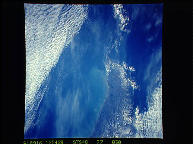
| 640 pixels | 480 pixels | No | No | Download Image |
Download Packaged File
Download a Google Earth KML for this Image
View photo footprint information
Download a GeoTIFF for this photo
Image Caption:
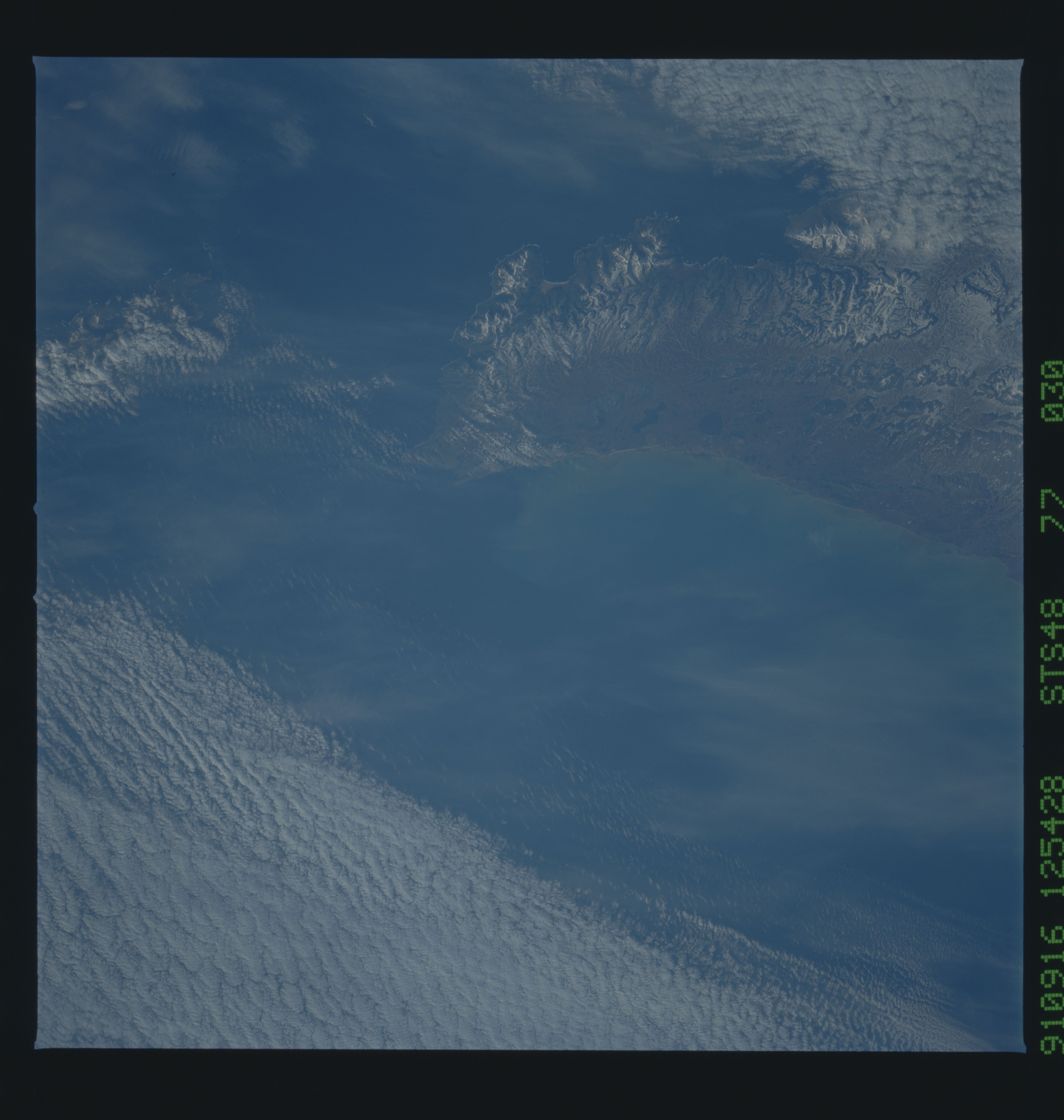
S48-77-030 - Tierra del Fuego, Patagonia
This first-time-ever shot from an American manned spacecraft
shows the southeastern tip of Tierra del Fuego, the southern end
of South America. View is north; snow remains on hills along the
west side of the peninsula (toward the observer). Cabo San Diego
forms the end of the landmass, and Isla Los Estadaos can barely
be seen offshore to the south under clouds. Bahia Valentine, with
a nice sand beach and dune field, are clearly shown.
The Mitre Peninsula is the easternmost tip of Tierra del Fuego, Argentina, (54.5S, 65.5W). Early winter snow can be seen on this south tip of the Andes Mountains. These same mountains continue underwater to Antarctica. The Strait of Magellan, separating the South American mainland from Tierra del Fuego is off the scene to the north and west, but the Strait of LeMaire, separating Tierra del Fuego from the Isla de los Estados can be seen.
