STS048-605-18
| NASA Photo ID | STS048-605-18 |
| Focal Length | 250mm |
| Date taken | 1991.09.17 |
| Time taken | 13:27:00 GMT |
Cloud masks available for this image:
Spacecraft nadir point: 23.8° N, 39.7° E
Photo center point: 30.5° N, 31.5° E
Photo center point by machine learning:
Photo center point: 30.5° N, 31.5° E
Photo center point by machine learning:
Nadir to Photo Center: Northwest
Spacecraft Altitude: 305 nautical miles (565km)
Country or Geographic Name: | EGYPT |
Features: | PAN-NILE DELTA |
| Features Found Using Machine Learning: | |
Cloud Cover Percentage: | 10 (1-10)% |
Sun Elevation Angle: | -16° |
Sun Azimuth: | 302° |
Camera: | Rolleiflex |
Focal Length: | 250mm |
Camera Tilt: | High Oblique |
Format: | 5017: Kodak, natural color positive, Ektachrome, X Professional, ASA 64, standard base |
Film Exposure: | Over Exposed |
| Additional Information | |
| Width | Height | Annotated | Cropped | Purpose | Links |
|---|---|---|---|---|---|
| 5700 pixels | 6000 pixels | No | No | Download Image | |
| 500 pixels | 526 pixels | No | No | Download Image | |
| 640 pixels | 480 pixels | No | No | Download Image |
Download Packaged File
Download a Google Earth KML for this Image
View photo footprint information
Download a GeoTIFF for this photo
Image Caption:
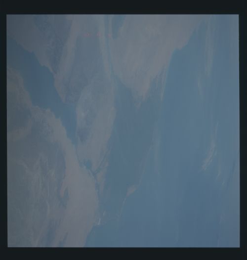
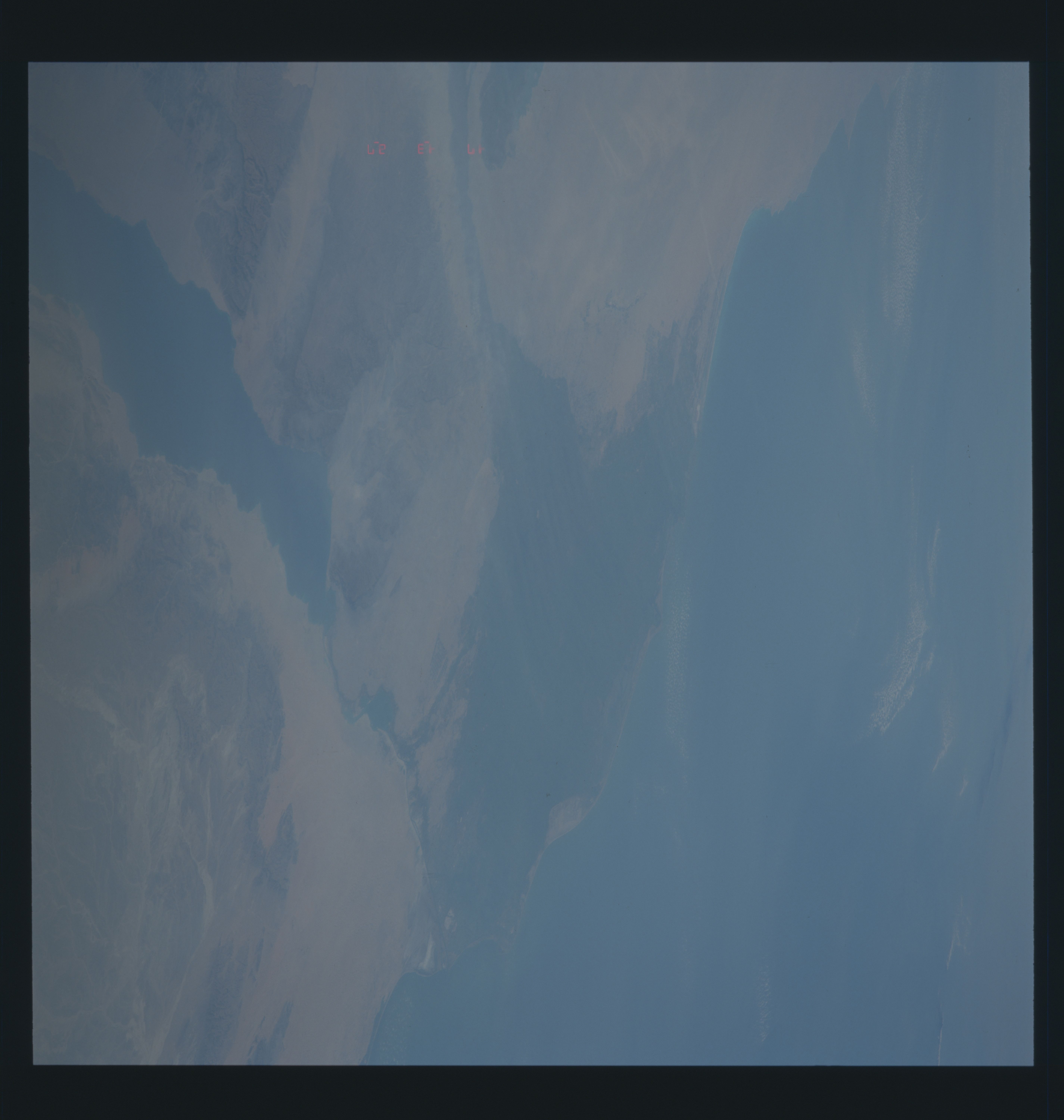
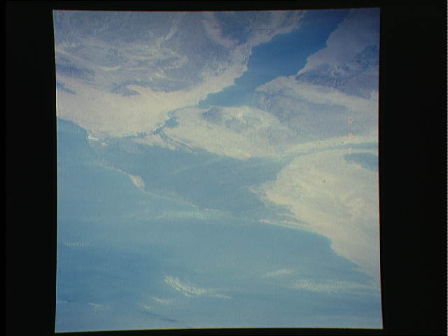
S48-605-18: Nile Valley looking from SE to NW. Other sources of
poor atmospheric "see-ability" during STS-48 were dust hazes from
the Sahara, and as seen here south of Cairo (the large steel
plants down there) industrial pollution and urban smog.
S48-605-18: Nile Valley looking from SE to NW. Other sources of
poor atmospheric "see-ability" during STS-48 were dust hazes from
the Sahara, and as seen here south of Cairo (the large steel
plants down there) industrial pollution and urban smog.
