STS048-603-34

| NASA Photo ID | STS048-603-34 |
| Focal Length | 250mm |
| Date taken | 1991.09.18 |
| Time taken | 00:45:00 GMT |
Resolutions offered for this image:
3904 x 3904 pixels 639 x 639 pixels 5700 x 6000 pixels 500 x 526 pixels 640 x 480 pixels
3904 x 3904 pixels 639 x 639 pixels 5700 x 6000 pixels 500 x 526 pixels 640 x 480 pixels
Cloud masks available for this image:
Spacecraft nadir point: 41.8° N, 113.5° W
Photo center point: 41.5° N, 114.0° W
Photo center point by machine learning:
Photo center point: 41.5° N, 114.0° W
Photo center point by machine learning:
Nadir to Photo Center: Southwest
Spacecraft Altitude: 308 nautical miles (570km)
Country or Geographic Name: | USA-UTAH |
Features: | GREAT SALT LAKE DESERT |
| Features Found Using Machine Learning: | |
Cloud Cover Percentage: | 0 (no clouds present) |
Sun Elevation Angle: | -38° |
Sun Azimuth: | 352° |
Camera: | Rolleiflex |
Focal Length: | 250mm |
Camera Tilt: | 6 degrees |
Format: | 5017: Kodak, natural color positive, Ektachrome, X Professional, ASA 64, standard base |
Film Exposure: | Under Exposed |
| Additional Information | |
| Width | Height | Annotated | Cropped | Purpose | Links |
|---|---|---|---|---|---|
| 3904 pixels | 3904 pixels | No | No | Earth From Space collection | Download Image |
| 639 pixels | 639 pixels | No | No | Earth From Space collection | Download Image |
| 5700 pixels | 6000 pixels | No | No | Download Image | |
| 500 pixels | 526 pixels | No | No | Download Image | |
| 640 pixels | 480 pixels | No | No | Download Image |
Download Packaged File
Download a Google Earth KML for this Image
View photo footprint information
Download a GeoTIFF for this photo
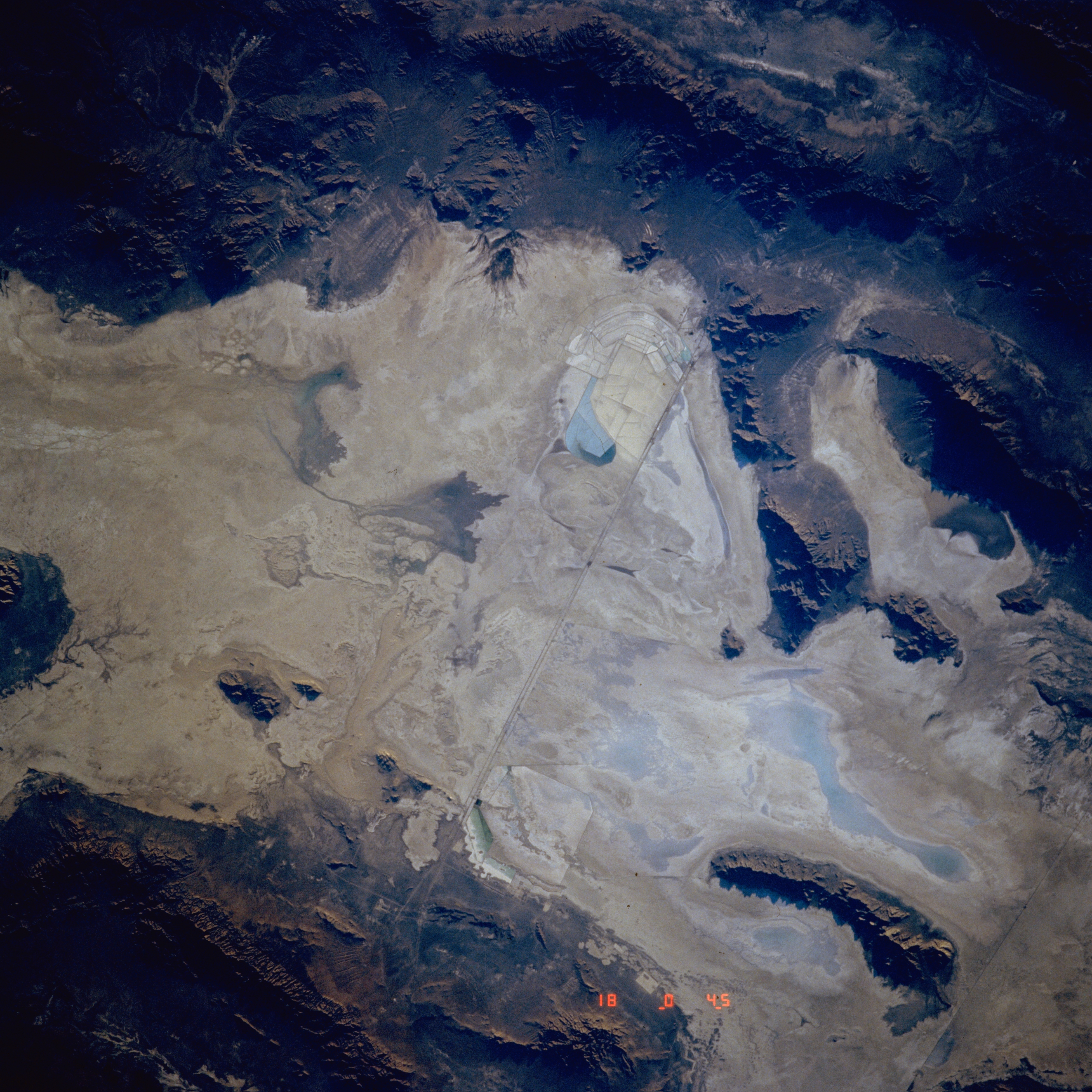
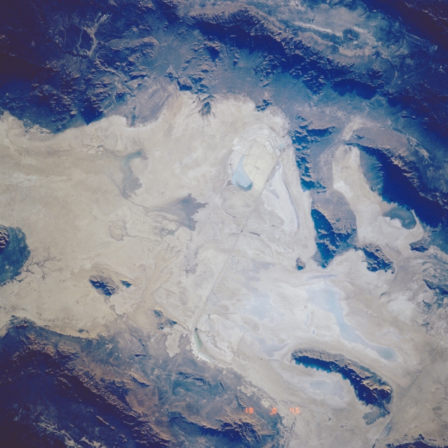
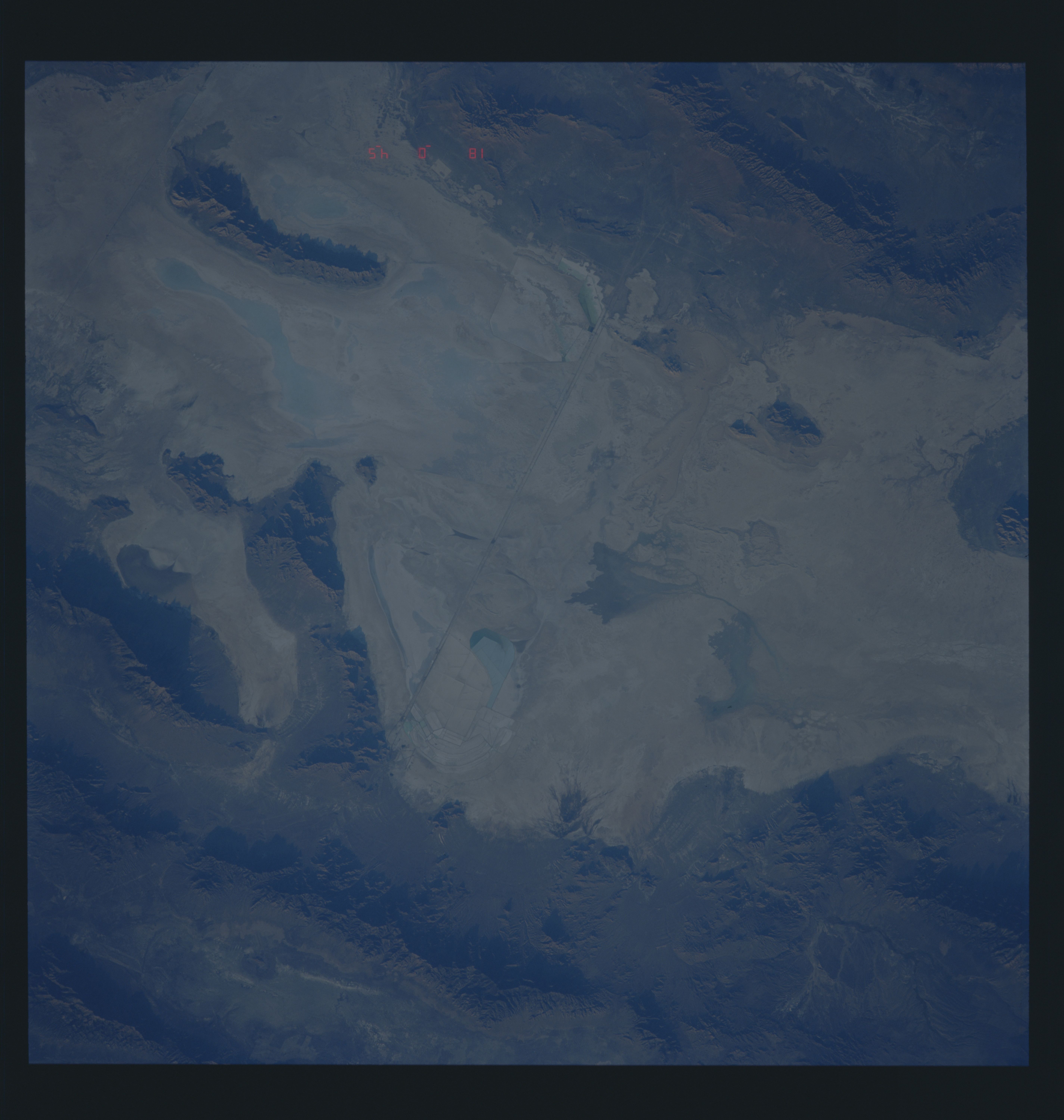
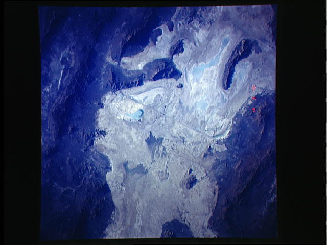
Image Caption: STS048-603-034 Great Salt Lake Desert, Utah, U.S.A. September 1992
The Great Salt Desert, the dry, salt-encrusted bed of prehistoric Lake Bonneville, is featured in this west-southwest-looking, low-oblique photograph. Interstate Highway 80 traverses west-east, north of which appear the Lakeside Mountains and, to their east, the Newfoundland Mountains. The Newfoundland Mountains are almost completely surrounded by shallow turquoise lakes. The north-south basin and range region of northeastern Nevada is apparent (top of photograph).
The Great Salt Desert, the dry, salt-encrusted bed of prehistoric Lake Bonneville, is featured in this west-southwest-looking, low-oblique photograph. Interstate Highway 80 traverses west-east, north of which appear the Lakeside Mountains and, to their east, the Newfoundland Mountains. The Newfoundland Mountains are almost completely surrounded by shallow turquoise lakes. The north-south basin and range region of northeastern Nevada is apparent (top of photograph).
