STS048-603-25
| NASA Photo ID | STS048-603-25 |
| Focal Length | 250mm |
| Date taken | 1991.09.18 |
| Time taken | 00:43:00 GMT |
Cloud masks available for this image:
Spacecraft nadir point: 36.4° N, 119.8° W
Photo center point: 35.0° N, 118.0° W
Photo center point by machine learning:
Photo center point: 35.0° N, 118.0° W
Photo center point by machine learning:
Nadir to Photo Center: Southeast
Spacecraft Altitude: 307 nautical miles (569km)
Country or Geographic Name: | USA-CALIFORNIA |
Features: | MOJAVE DES., ROGERS L. |
| Features Found Using Machine Learning: | |
Cloud Cover Percentage: | 0 (no clouds present) |
Sun Elevation Angle: | -33° |
Sun Azimuth: | 340° |
Camera: | Rolleiflex |
Focal Length: | 250mm |
Camera Tilt: | 24 degrees |
Format: | 5017: Kodak, natural color positive, Ektachrome, X Professional, ASA 64, standard base |
Film Exposure: | Normal |
| Additional Information | |
| Width | Height | Annotated | Cropped | Purpose | Links |
|---|---|---|---|---|---|
| 5700 pixels | 6000 pixels | No | No | Download Image | |
| 500 pixels | 526 pixels | No | No | Download Image | |
| 640 pixels | 480 pixels | No | No | Download Image |
Download Packaged File
Download a Google Earth KML for this Image
View photo footprint information
Download a GeoTIFF for this photo
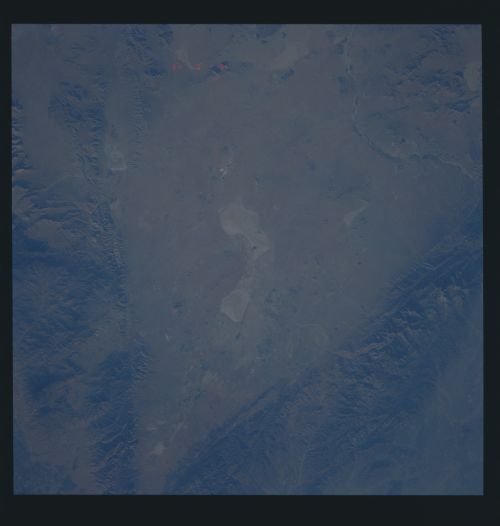
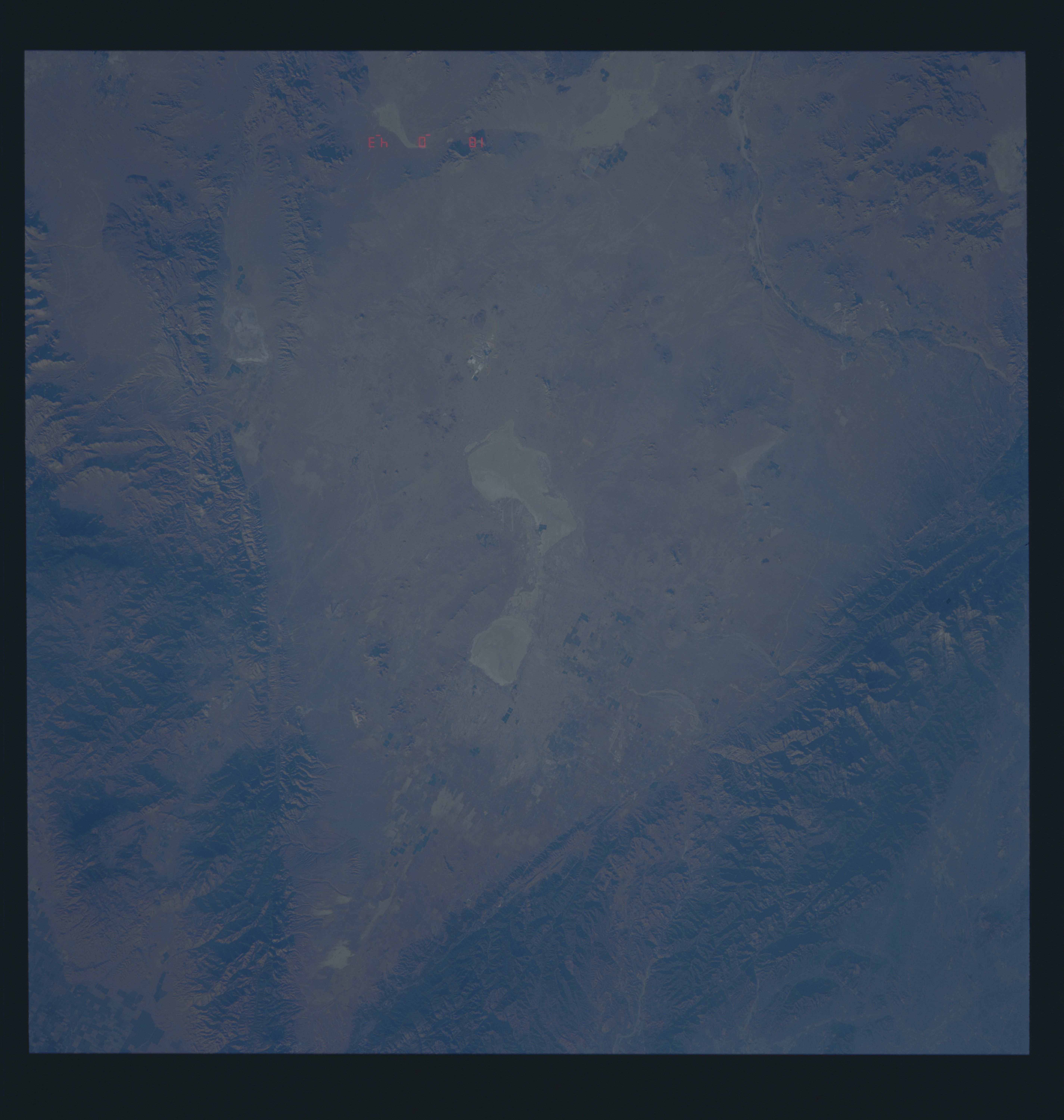
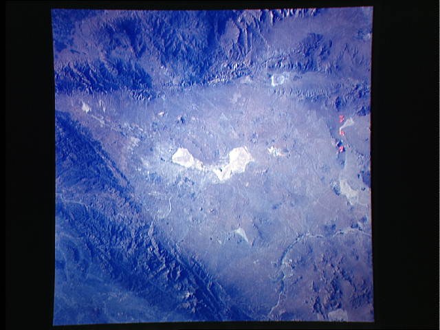
Image Caption: S48-603-25: Mojave Desert. The western Mojave desert is neatly defined by the sharp fault boundaries of the Garlock fault in the north, and the San Andreas fault in the southwest. The Mojave it- self is a down-dropped block with internal drainage within these boundaries. During wetter climates in the Pleistocene, large lakes ponded, and after they dried, left the large playas (like Rogers Playa) which have extremely flat surfaces. As with other photographs of the American west, the extremely low light highlights the topography along the two faults.
