STS048-151-137
| NASA Photo ID | STS048-151-137 |
| Focal Length | 250mm |
| Date taken | 1991.09.13 |
| Time taken | 19:36:54 GMT |

Cloud masks available for this image:
Spacecraft nadir point: 27.8° S, 70.7° W
Photo center point: 24.0° S, 63.0° W
Photo center point by machine learning:
Photo center point: 24.0° S, 63.0° W
Photo center point by machine learning:
Nadir to Photo Center: East
Spacecraft Altitude: 294 nautical miles (544km)
Country or Geographic Name: | ARGENTINA |
Features: | CENTRAL ANDES, TEUCO R. |
| Features Found Using Machine Learning: | |
Cloud Cover Percentage: | 20 (11-25)% |
Sun Elevation Angle: | 37° |
Sun Azimuth: | 299° |
Camera: | Linhof |
Focal Length: | 250mm |
Camera Tilt: | High Oblique |
Format: | QX868: Kodak, natural color positive, Ektachrome QX868(5017 emulsion), ASA 64, thin base |
Film Exposure: | Normal |
| Additional Information | |
| Width | Height | Annotated | Cropped | Purpose | Links |
|---|---|---|---|---|---|
| 5611 pixels | 4433 pixels | No | No | Earth From Space collection | Download Image |
| 639 pixels | 505 pixels | No | No | Earth From Space collection | Download Image |
| 640 pixels | 480 pixels | No | No | ISD 1 | Download Image |
Download Packaged File
Download a Google Earth KML for this Image
View photo footprint information
Download a GeoTIFF for this photo
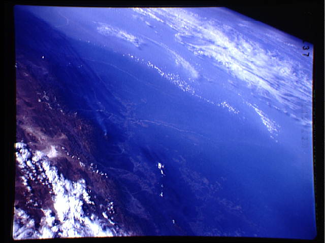
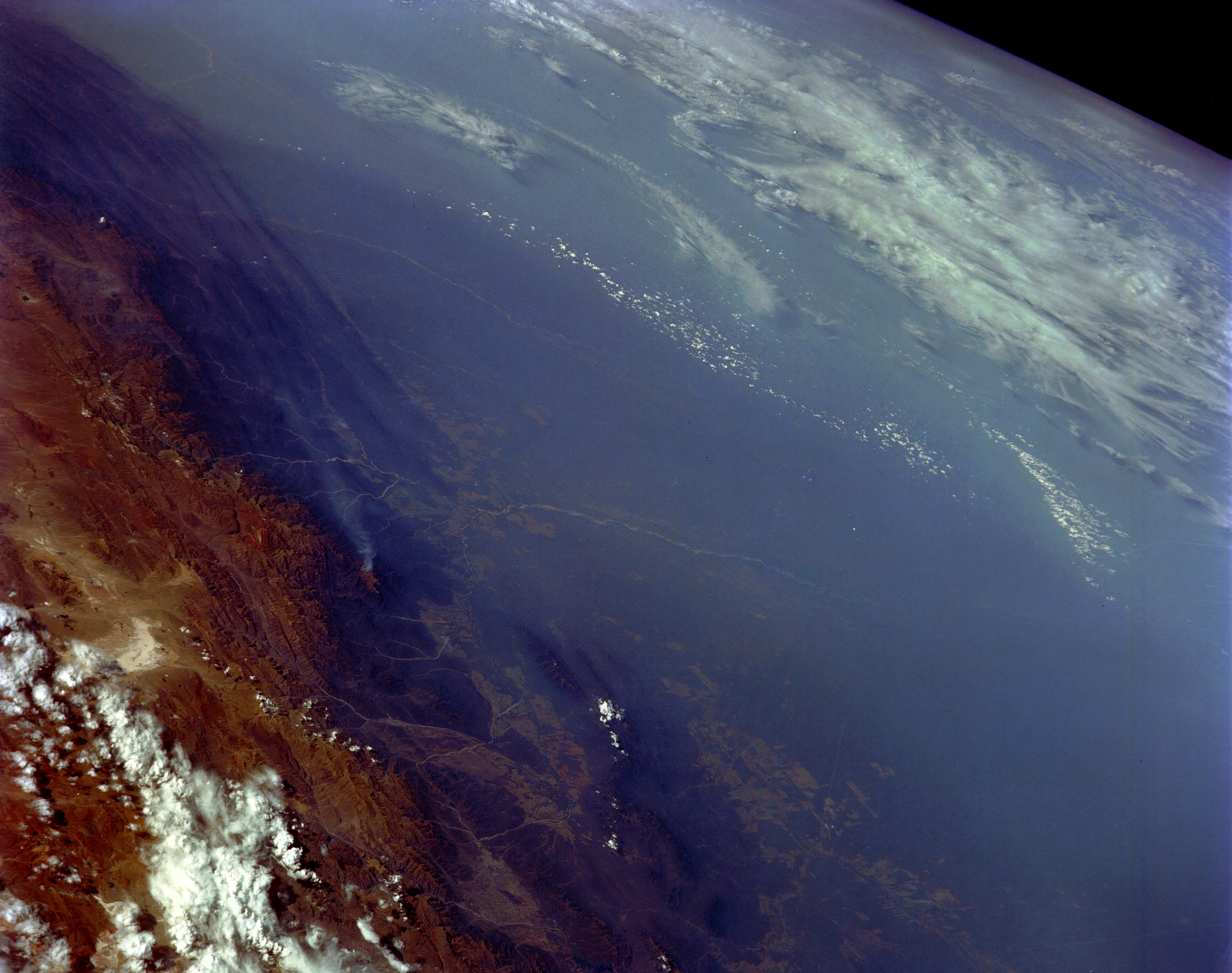
Image Caption: STS048-151-137 Smoke, South-Central Bolivia September 1991
The extensive smoke pall shown in this high-oblique, northeast-looking photograph of southern Bolivia is typical of palls that can extend for thousands of square miles (thousands of square kilometers) in Brazil, Paraguay, and Bolivia. The smoke palls are most widespread during the dry winter months when vegetated areas are cleared for slash-and-burn agriculture--crop cultivation in recently cut and burned tropical vegetation clearings that are soon abandoned in favor of newly burned land. The darker, vegetated parallel ridges (western edge of the photograph) are the foothills of the Andes Mountains that give way to the higher elevations (brown area) further west, which act as a barrier to the westward movement of smoke throughout South America. The Pilcomayo River is visible (center of photograph) as it emerges from the foothills of the Andes Mountains near the town of Villa Montes. Large cultivated field patterns appear in some of the valleys in the foothills and in the lowlands adjacent to the eastern flank of the foothills.
The extensive smoke pall shown in this high-oblique, northeast-looking photograph of southern Bolivia is typical of palls that can extend for thousands of square miles (thousands of square kilometers) in Brazil, Paraguay, and Bolivia. The smoke palls are most widespread during the dry winter months when vegetated areas are cleared for slash-and-burn agriculture--crop cultivation in recently cut and burned tropical vegetation clearings that are soon abandoned in favor of newly burned land. The darker, vegetated parallel ridges (western edge of the photograph) are the foothills of the Andes Mountains that give way to the higher elevations (brown area) further west, which act as a barrier to the westward movement of smoke throughout South America. The Pilcomayo River is visible (center of photograph) as it emerges from the foothills of the Andes Mountains near the town of Villa Montes. Large cultivated field patterns appear in some of the valleys in the foothills and in the lowlands adjacent to the eastern flank of the foothills.
