STS048-110-35
| NASA Photo ID | STS048-110-35 |
| Focal Length | 250mm |
| Date taken | 1991.09.16 |
| Time taken | 06:56:26 GMT |
Resolutions offered for this image:
5700 x 6000 pixels 500 x 526 pixels 640 x 480 pixels 960 x 964 pixels 960 x 964 pixels 960 x 964 pixels
5700 x 6000 pixels 500 x 526 pixels 640 x 480 pixels 960 x 964 pixels 960 x 964 pixels 960 x 964 pixels

Cloud masks available for this image:
Spacecraft nadir point: 0.8° N, 127.6° E
Photo center point: 2.0° N, 128.0° E
Photo center point by machine learning:
Photo center point: 2.0° N, 128.0° E
Photo center point by machine learning:
Nadir to Photo Center: North
Spacecraft Altitude: 304 nautical miles (563km)
Country or Geographic Name: | INDONESIA |
Features: | HALMAHERA I, DUKONO VOL. |
| Features Found Using Machine Learning: | |
Cloud Cover Percentage: | 10 (1-10)% |
Sun Elevation Angle: | 14° |
Sun Azimuth: | 265° |
Camera: | Hasselblad |
Focal Length: | 250mm |
Camera Tilt: | 14 degrees |
Format: | 2443: Kodak Aerochrome 2443, color IR, thin base, EA-5 process thru June 1999, E-6 process afterward |
Film Exposure: | Normal |
| Additional Information | |
| Width | Height | Annotated | Cropped | Purpose | Links |
|---|---|---|---|---|---|
| 5700 pixels | 6000 pixels | No | No | Download Image | |
| 500 pixels | 526 pixels | No | No | Download Image | |
| 640 pixels | 480 pixels | No | No | Download Image | |
| 960 pixels | 964 pixels | Yes | No | Download Image | |
| 960 pixels | 964 pixels | Yes | No | Download Image | |
| 960 pixels | 964 pixels | Download Image |
Download Packaged File
Download a Google Earth KML for this Image
View photo footprint information
Download a GeoTIFF for this photo
Image Caption:
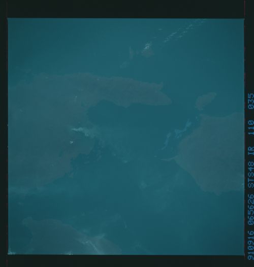
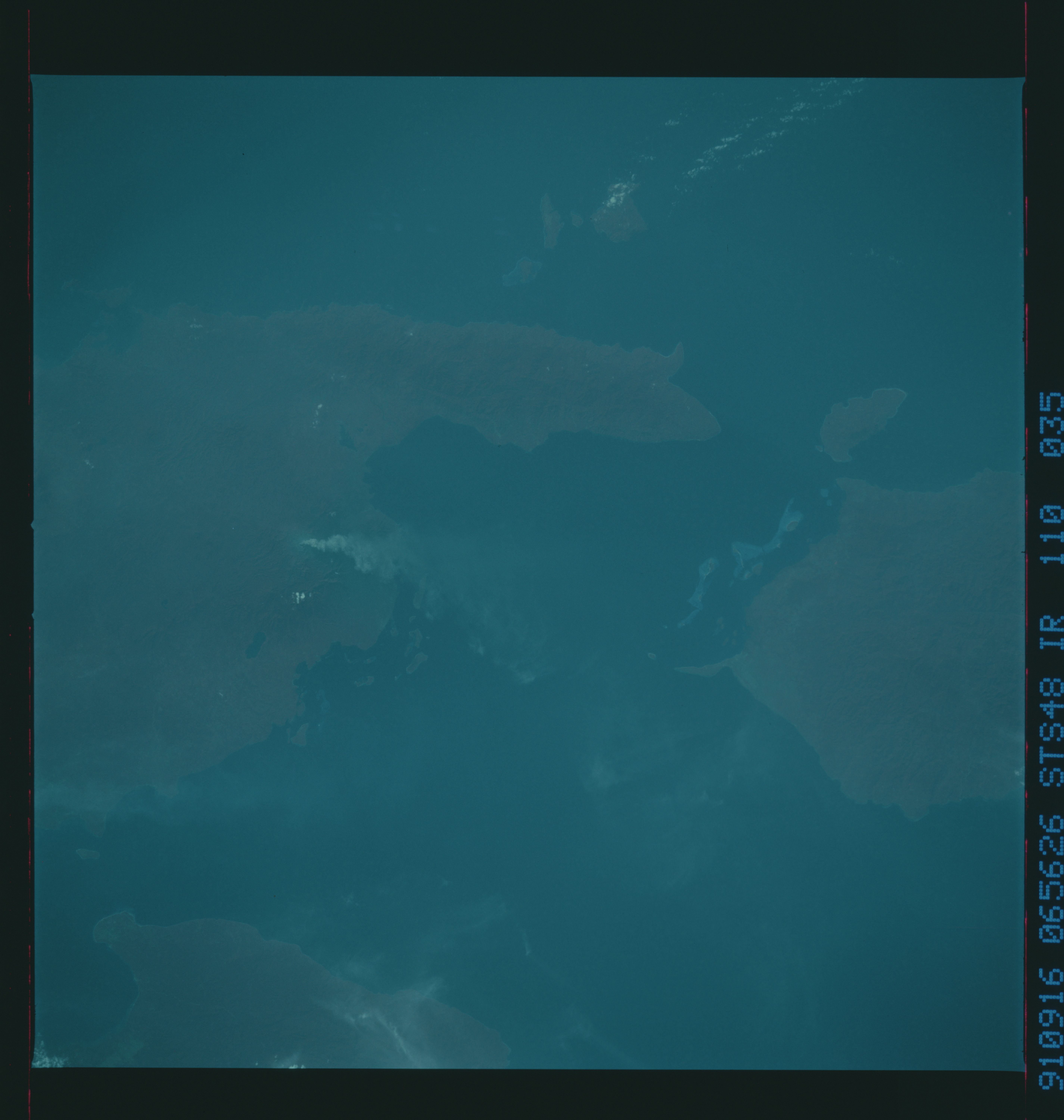
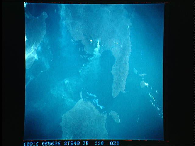
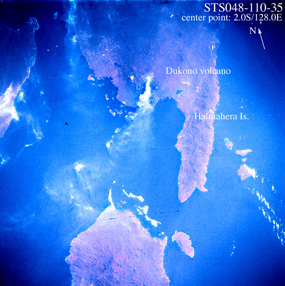
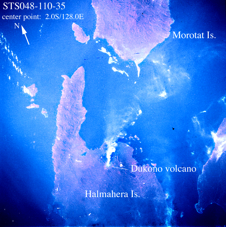
S48-110-35: Dukono volcano, CIR. Halmahera is another octopus-
shaped Indonesian island, east of Sulawesi and forming the
eastern boundary of the Molucca Sea. These two photographs on
different type of film capture a large plume from Dukono volcano
along the northern arm of the island. The plume itself appears
at least 20 miles long, and has a substantial component of ash.
Dukono was reportedly almost continuously active until around
1980, when reports of activity ended. The first reports of this
phase of activity were earlier in the summer, but were uncon-
firmed.... this is a very remote island. These photographs
represent the first documented activity.
