STS047-96-54
| NASA Photo ID | STS047-96-54 |
| Focal Length | 250mm |
| Date taken | 1992.09.17 |
| Time taken | 15:42:01 GMT |
Cloud masks available for this image:
Spacecraft nadir point: 25.3° N, 14.1° E
Photo center point: 25.0° N, 14.0° E
Photo center point by machine learning:
Photo center point: 25.0° N, 14.0° E
Photo center point by machine learning:
Nadir to Photo Center: South
Spacecraft Altitude: 167 nautical miles (309km)
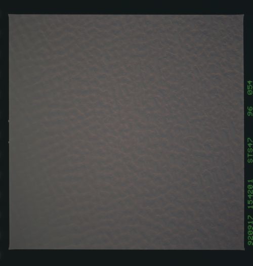
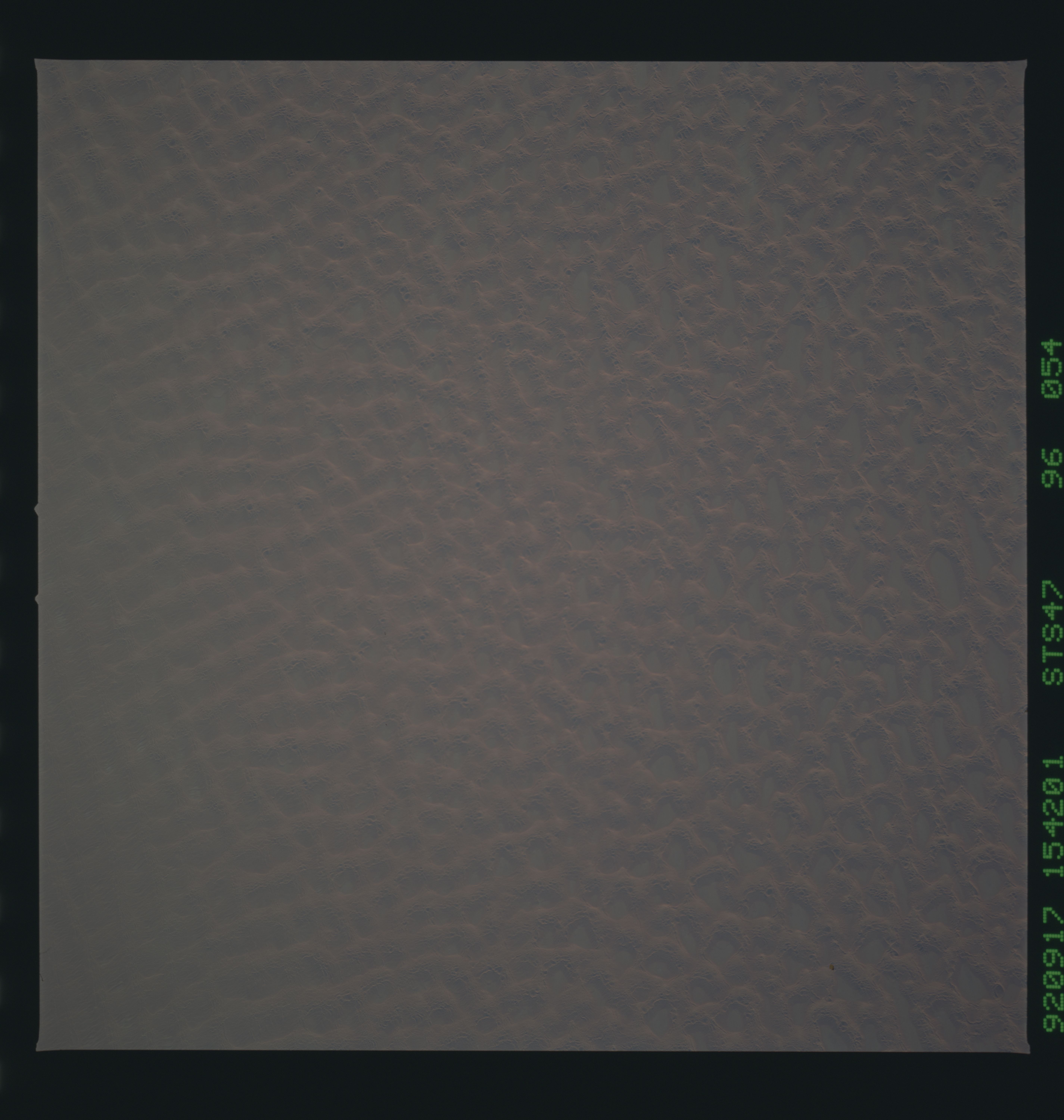
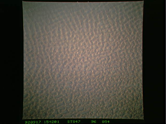
Country or Geographic Name: | LIBYA |
Features: | MARZUQ SAND SEA, DUNES |
| Features Found Using Machine Learning: | |
Cloud Cover Percentage: | 0 (no clouds present) |
Sun Elevation Angle: | 19° |
Sun Azimuth: | 264° |
Camera: | Hasselblad |
Focal Length: | 250mm |
Camera Tilt: | 6 degrees |
Format: | VELVI: Fuji, natural color positive, Velvia 50, CS 135-36, ASA 32, standard base |
Film Exposure: | Normal |
| Additional Information | |
| Width | Height | Annotated | Cropped | Purpose | Links |
|---|---|---|---|---|---|
| 5700 pixels | 6000 pixels | No | No | Download Image | |
| 500 pixels | 526 pixels | No | No | Download Image | |
| 640 pixels | 480 pixels | No | No | Download Image |
Download Packaged File
Download a Google Earth KML for this Image
View photo footprint information
Download a GeoTIFF for this photo
Image Caption:
STS047-96-054 LARGE-SCALE DUNE PATTERNS, NW China (25.5N, 13.8E).
The dunes shown here are of the largest type, known as draa. The
reticulate pattern shown here is unusual in such large dunes.
STS047-96-054 LARGE-SCALE DUNE PATTERNS, NW China (25.5N, 13.8E).
The dunes shown here are of the largest type, known as draa. The
reticulate pattern shown here is unusual in such large dunes.
