STS047-96-4
| NASA Photo ID | STS047-96-4 |
| Focal Length | 250mm |
| Date taken | 1992.09.17 |
| Time taken | 15:14:55 GMT |
Cloud masks available for this image:
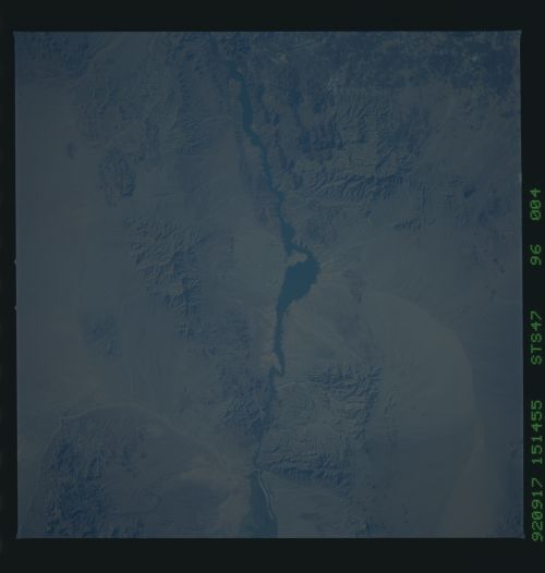
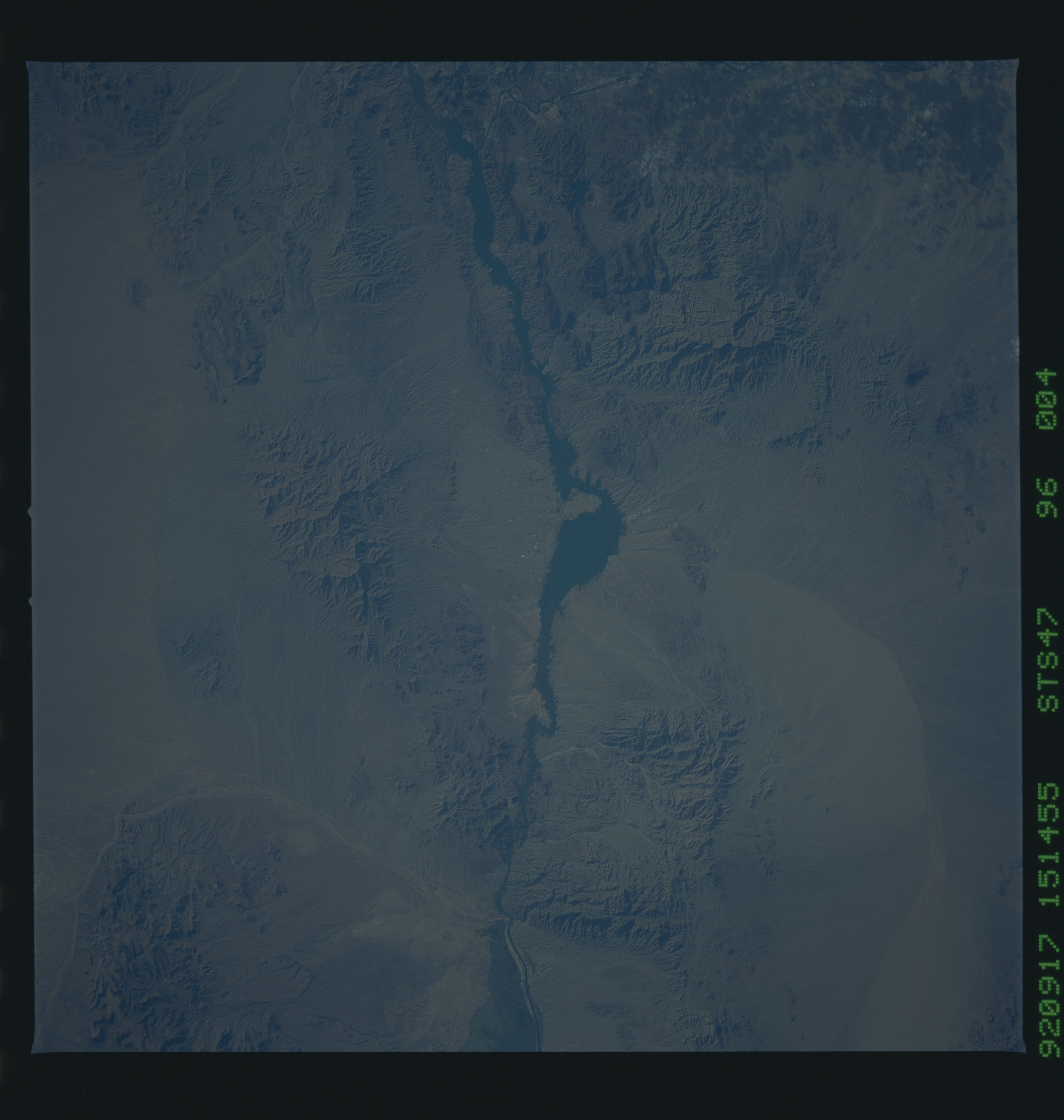
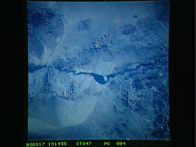
Spacecraft nadir point: 34.0° N, 115.2° W
Photo center point: 34.5° N, 114.5° W
Photo center point by machine learning:
Photo center point: 34.5° N, 114.5° W
Photo center point by machine learning:
Nadir to Photo Center: Northeast
Spacecraft Altitude: 166 nautical miles (307km)
Country or Geographic Name: | USA-ARIZONA |
Features: | COLORADO R, L. HAVASU AREA |
| Features Found Using Machine Learning: | |
Cloud Cover Percentage: | 0 (no clouds present) |
Sun Elevation Angle: | 23° |
Sun Azimuth: | 104° |
Camera: | Hasselblad |
Focal Length: | 250mm |
Camera Tilt: | 17 degrees |
Format: | VELVI: Fuji, natural color positive, Velvia 50, CS 135-36, ASA 32, standard base |
Film Exposure: | Normal |
| Additional Information | |
| Width | Height | Annotated | Cropped | Purpose | Links |
|---|---|---|---|---|---|
| 5700 pixels | 6000 pixels | No | No | Download Image | |
| 500 pixels | 526 pixels | No | No | Download Image | |
| 640 pixels | 480 pixels | No | No | Download Image |
Download Packaged File
Download a Google Earth KML for this Image
View photo footprint information
Download a GeoTIFF for this photo
Image Caption:
Delmarva Peninsula Pollution 9/17/92 20:09:09GMT STS047-96-
004
Along the east coast of the USA seeing conditions became increas-
ingly hazier as high pressure became stationary over the area
during the mission. This photo is a good example of typical sum-
mer pollution over the east coast.
Delmarva Peninsula Pollution 9/17/92 20:09:09GMT STS047-96-
004
Along the east coast of the USA seeing conditions became increas-
ingly hazier as high pressure became stationary over the area
during the mission. This photo is a good example of typical sum-
mer pollution over the east coast.
