STS047-95-59
| NASA Photo ID | STS047-95-59 |
| Focal Length | 250mm |
| Date taken | 1992.09.16 |
| Time taken | 09:08:13 GMT |
Cloud masks available for this image:
Spacecraft nadir point: 46.2° N, 0.0° E
Photo center point: 45.0° N, 0.5° W
Photo center point by machine learning:
Photo center point: 45.0° N, 0.5° W
Photo center point by machine learning:
Nadir to Photo Center: South
Spacecraft Altitude: 169 nautical miles (313km)
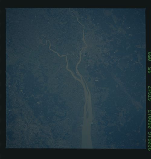
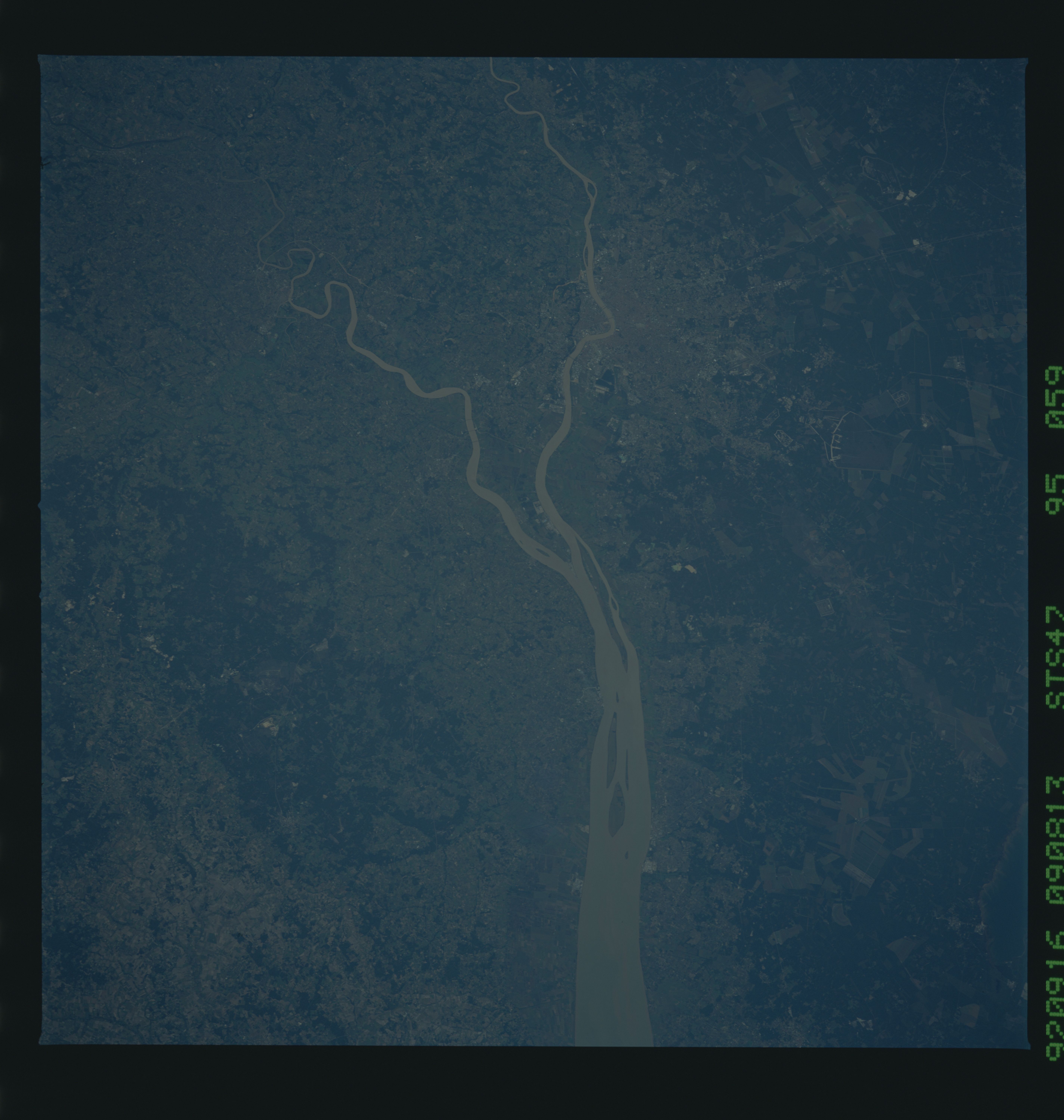
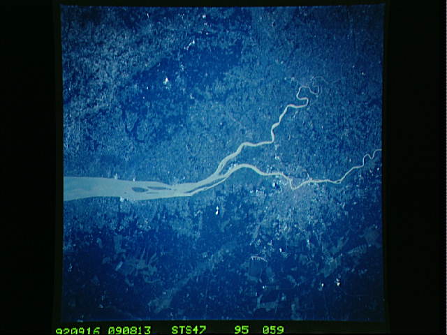
Country or Geographic Name: | FRANCE |
Features: | GAROONE R, BORDEAUX AREA |
| Features Found Using Machine Learning: | |
Cloud Cover Percentage: | 0 (no clouds present) |
Sun Elevation Angle: | 33° |
Sun Azimuth: | 127° |
Camera: | Hasselblad |
Focal Length: | 250mm |
Camera Tilt: | 25 degrees |
Format: | VELVI: Fuji, natural color positive, Velvia 50, CS 135-36, ASA 32, standard base |
Film Exposure: | Normal |
| Additional Information | |
| Width | Height | Annotated | Cropped | Purpose | Links |
|---|---|---|---|---|---|
| 5700 pixels | 6000 pixels | No | No | Download Image | |
| 500 pixels | 526 pixels | No | No | Download Image | |
| 640 pixels | 480 pixels | No | No | Download Image |
Download Packaged File
Download a Google Earth KML for this Image
View photo footprint information
Download a GeoTIFF for this photo
Image Caption:
STS047-95-059, 95-109, 95-110 These two companion scenes of Bor-
deaux, France show how color (CVIS) and color infrared (CIR) pho-
tos of the same area produce complimentary information about the
scene. For example, the CIR more clearly shows where active
vegetation can be found. Since the Bordeaux area is world famous
for its wines, it can be assumed that many of the "red" fields
are grape vineyards.
